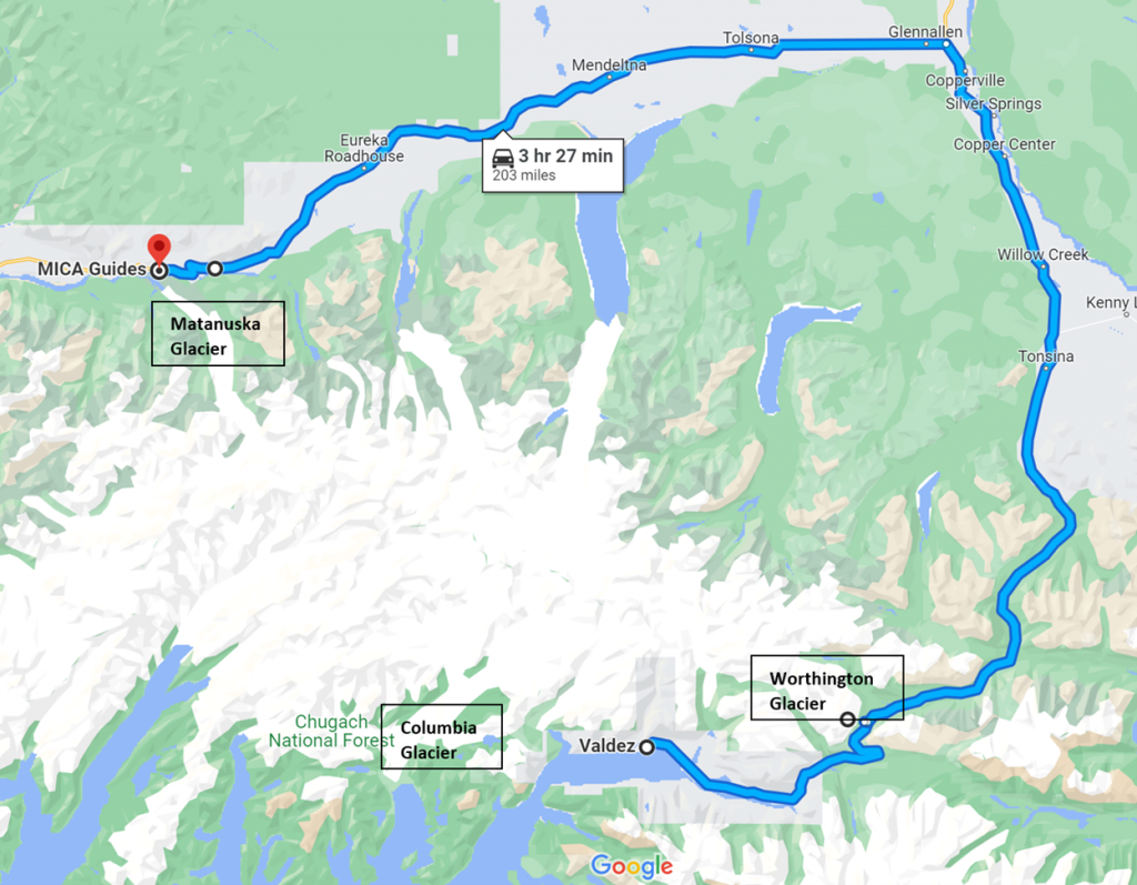
Part 5: Glacier to Glacier (Valdez to Matanuska Glacier)
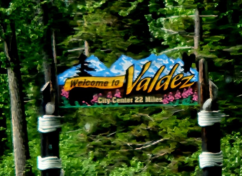
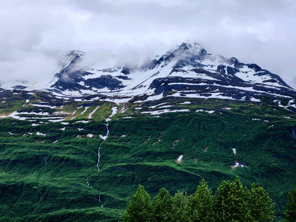
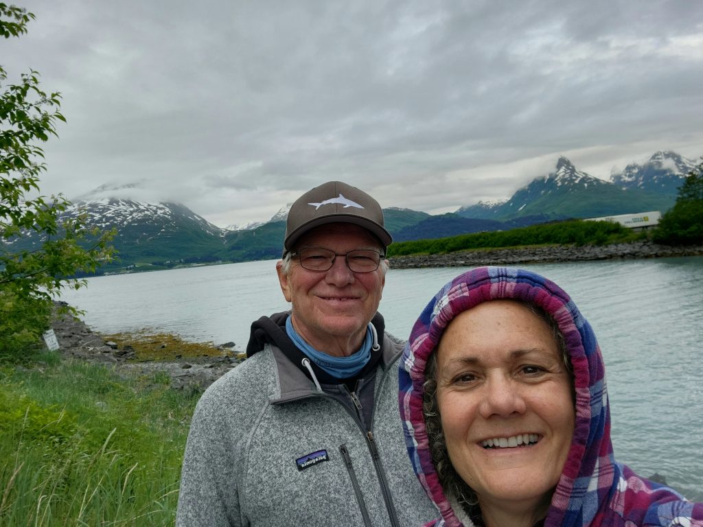
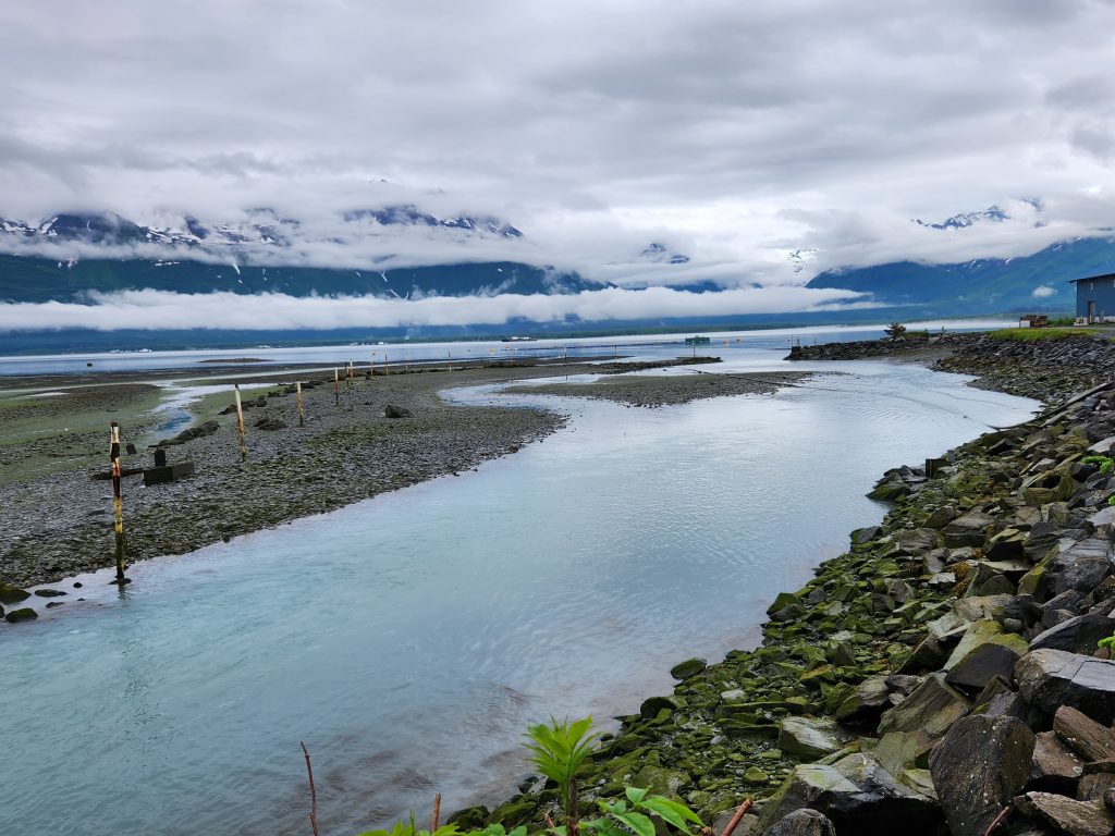
Day 25 Today we arrived in Valdez, Alaska, on Prince William Sound. We can see why people call Valdez “the Switzerland of Alaska,” although one guide called Switzerland, “the Valdez of Europe.” Valdez is almost completely surrounded by mountains and there is still quite a bit of snow on many of the peaks. Glorious, stunning, gorgeous, beautiful, WOW! There aren’t enough adjectives. (NOTE: Some photos are from our Alaska 7 group.)
One of many glorious views in Valdez
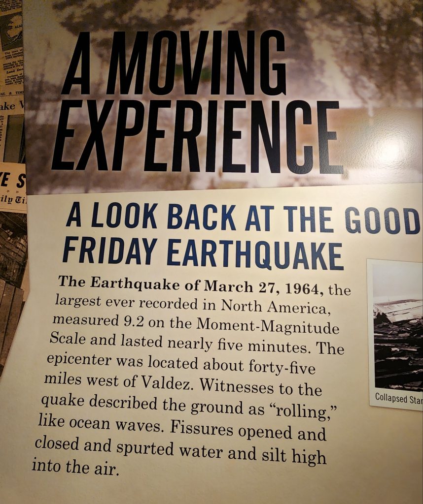
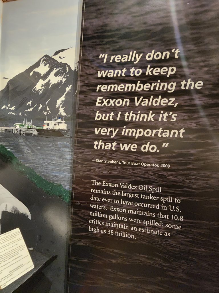
Valdez (pronounced val-deez) is famous for several things: 1) the 1964 Good Friday Earthquake (9.2 on the Richter scale, the largest ever recorded in North America) and resulting tsunamis that wiped out much of Old Valdez, causing people to rebuild the town four miles away; 2) the 1989 Exxon Valdez oil tanker that ran aground and spilled 11 million gallons of crude oil into Prince William Sound, killing thousands of birds, fish, mammals, and other wildlife, and 3) the beautiful glaciers that surround the town, including Worthington and Columbia.
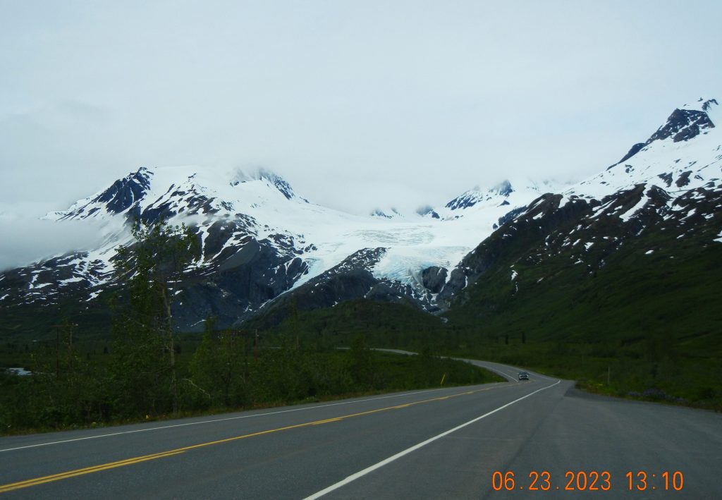
This post is entitled Glacier to Glacier because there are three main glaciers we encountered and explored during this phase of our trip. Today we drove past Worthington Glacier on the way to Valdez. This four-mile-long glacier is one of the last U.S. glaciers that is accessible from a major road, in this case the Richardson Highway.
Worthington Glacier, as seen from the Richardson Highway
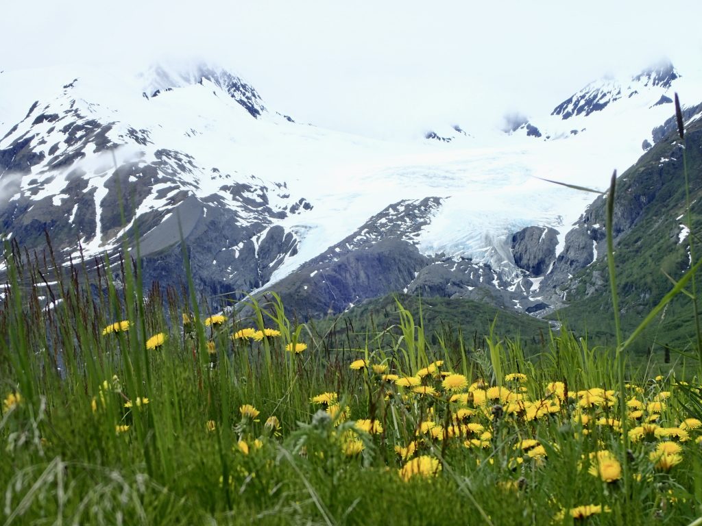
Another view of Worthington Glacier
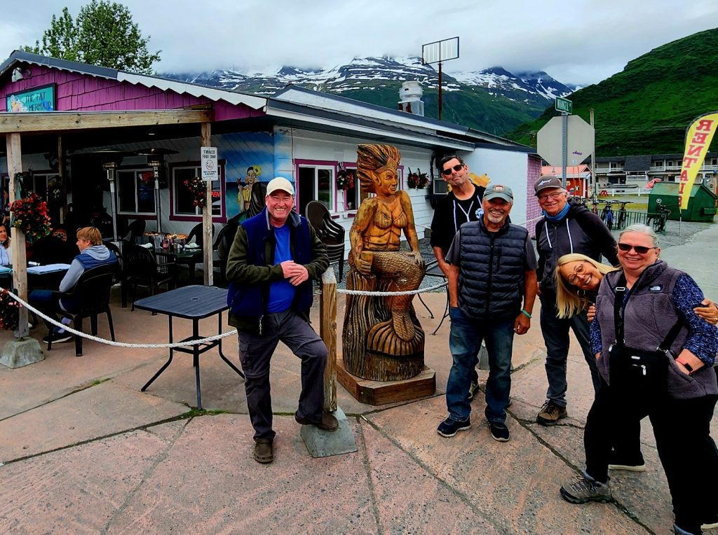
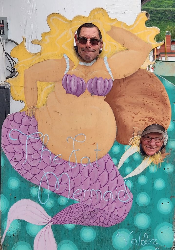
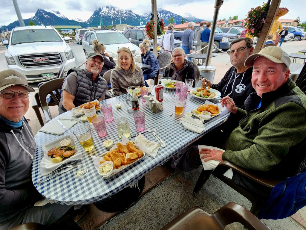
We visited the Valdez Visitor Center and then celebrated our arrival in Valdez with a fun dinner at the Fat Mermaid (where’s Allyn), overlooking the harbor.
Outside the Fat Mermaid
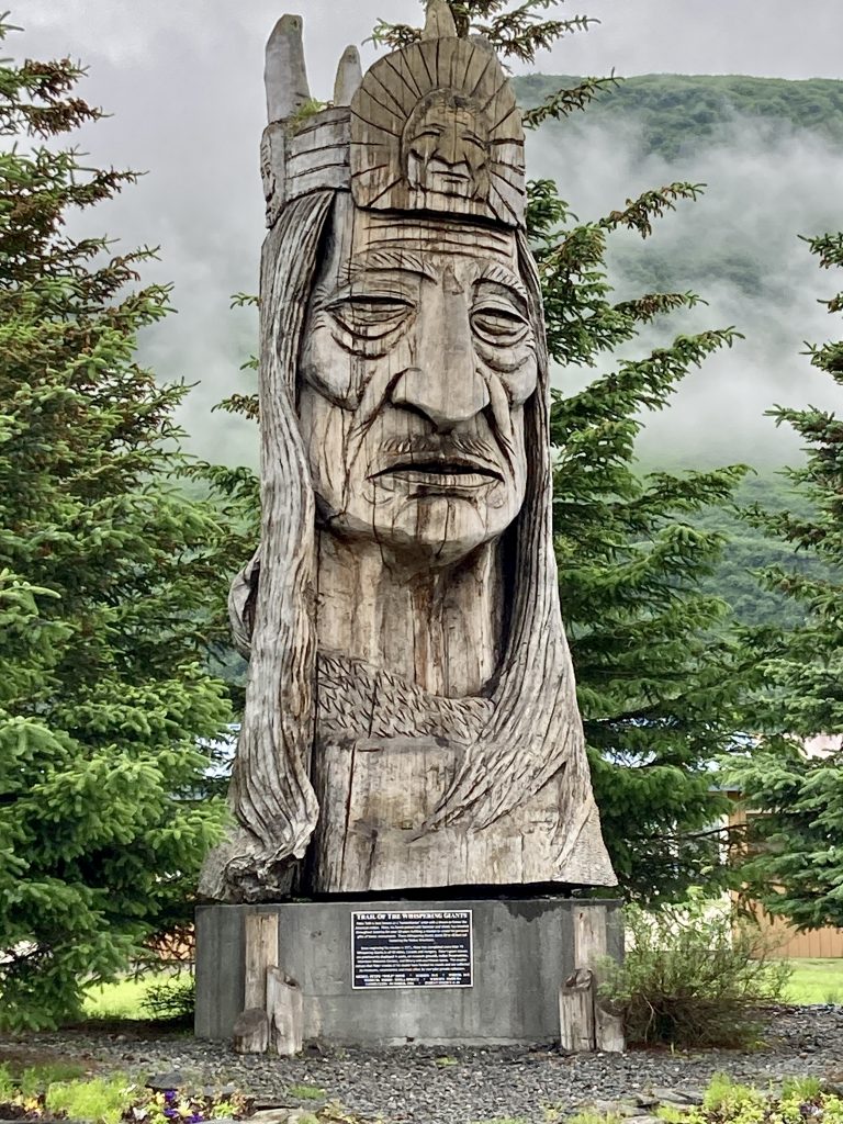
The "Whispering Giant" Sitka spruce statue stands 30 feet tall behind in Valdez.
Where's Allyn? Where's Hank?
Great food at the Fat Mermaid
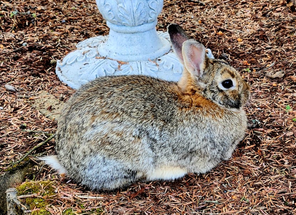
A snowshoe hare hanging out in Valdez
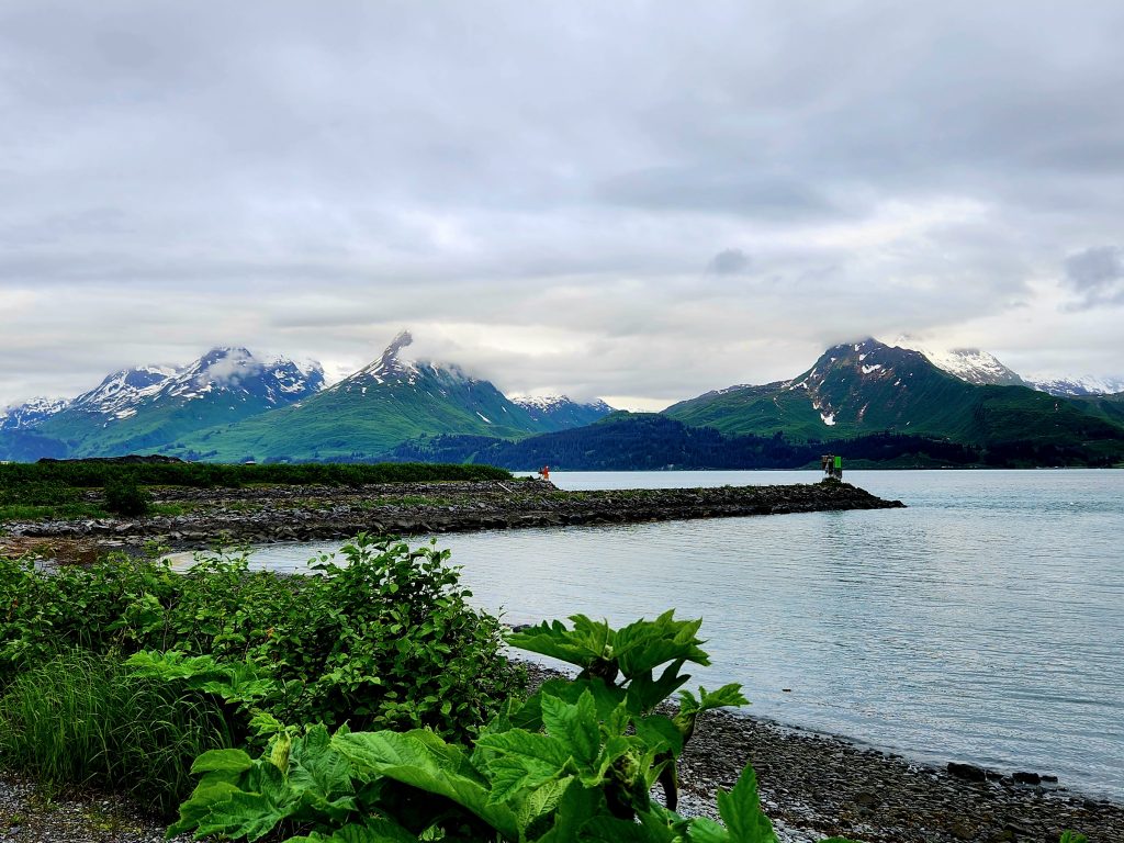
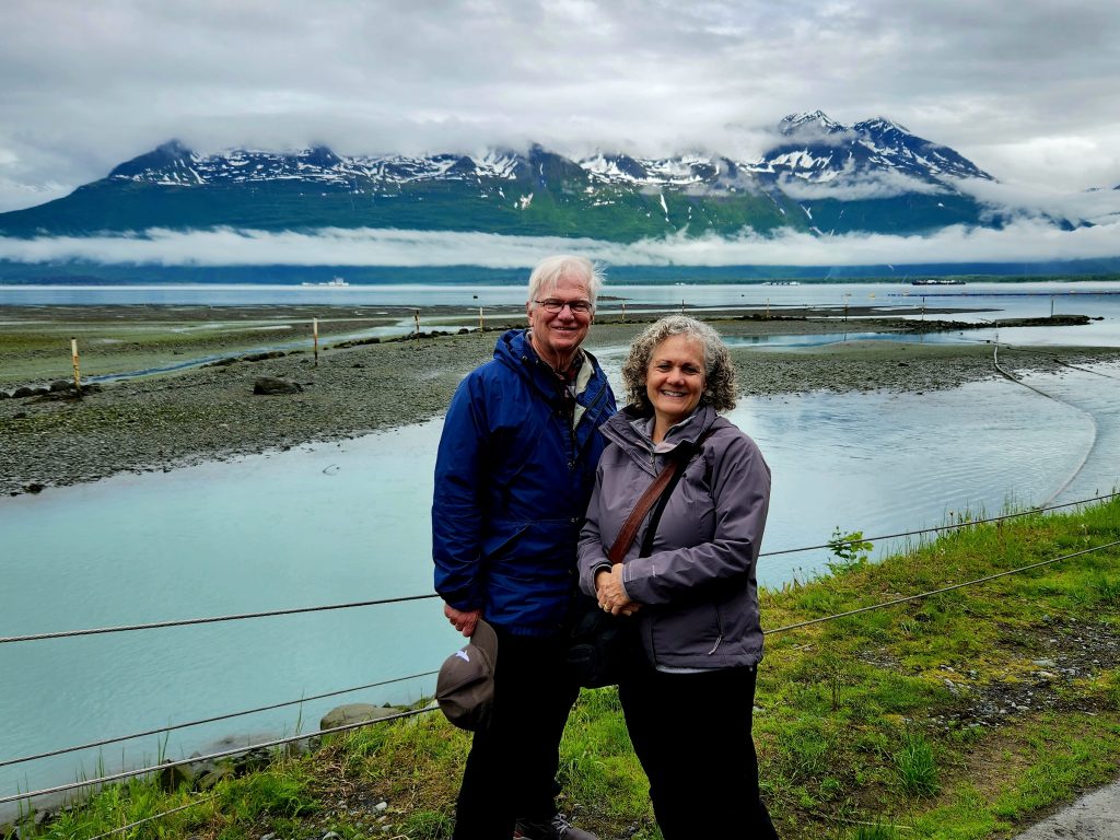
The views from our campground were pretty amazing!
Another great view this evening
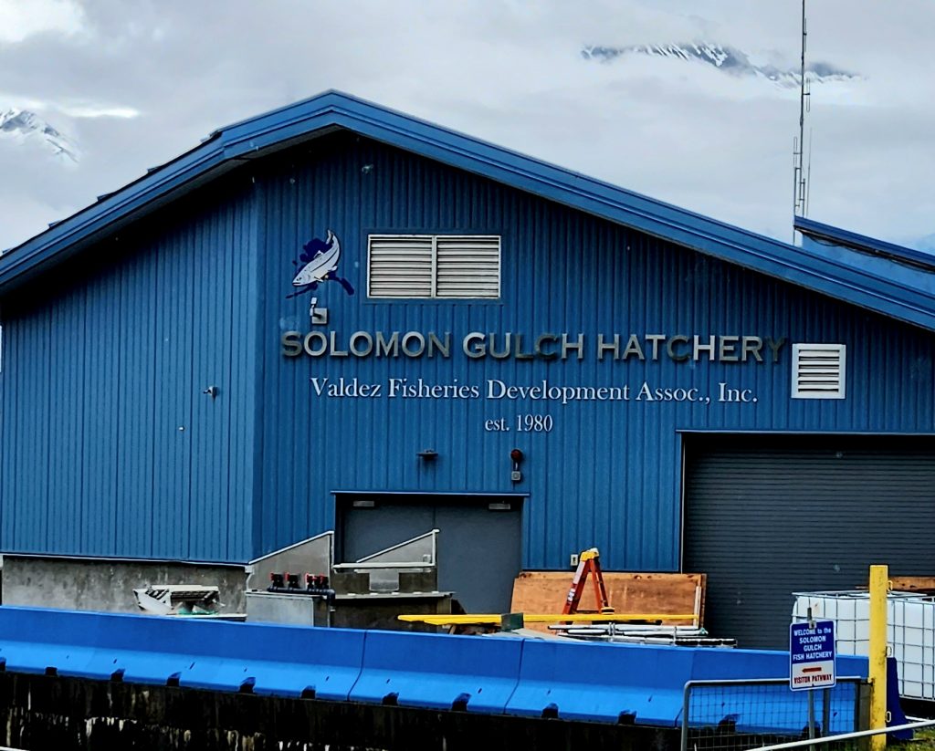
Day 26 Today was rainy and chilly, so no one felt like getting an early start. But when it cleared up, we headed to the Solomon Gulch Fish Hatchery on Dayville Road and explored one of the largest salmon hatcheries in the world. Though we were a few weeks early to view the salmon swimming upstream (and the bears that try to catch them), we walked through this very interesting and informative structure, including the fish weir.
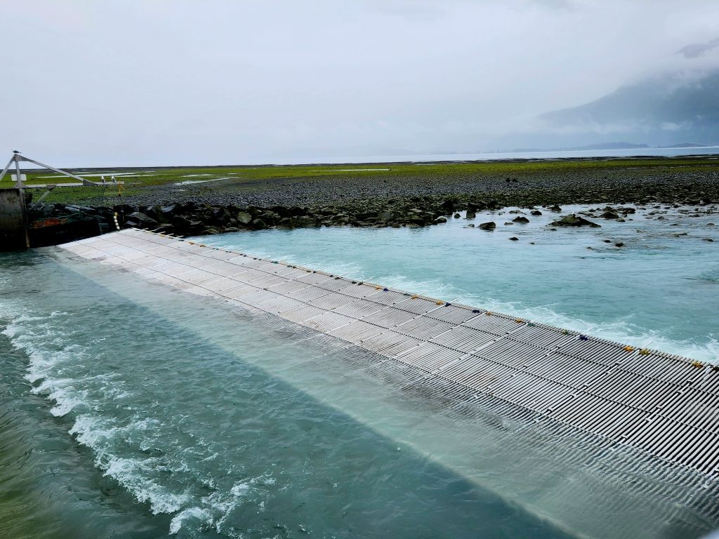
A fish weir is an obstruction that channels the salmon into a specific location (in this case, so their eggs can be captured and protected).
This hatchery collects 270 million pink salmon eggs and 2 million coho salmon eggs when the salmon swim upstream to spawn. Workers tend to the eggs until they hatch. When the fry (tiny fish) emerge in early spring, the hatchery releases 250 million pink salmon fry and 1.8 million coho salmon fry into pens offshore until they weigh at least ½ gram each. At that point, the smolts are released out into the open water and enjoy their life at sea until they return to their spawning grounds at the hatchery (in 2 years the pinks return and 3 years for silvers? We can’t remember!)
The view from the hatchery. In a few weeks, there will be thousands of salmon in the water and many bears trying to catch them.
The beach by the hatchery reminded us a lot of Puget Sound beaches, but there were no barnacles (is that because of the oil spill?).
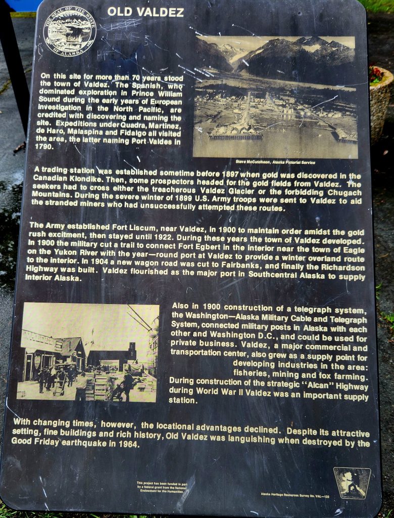
We also explored a bit of Old Valdez, which was the original townsite founded in 1898 (during and because of the Klondike Gold Rush), and heavily damaged during the 1964 earthquake/tsunamis.
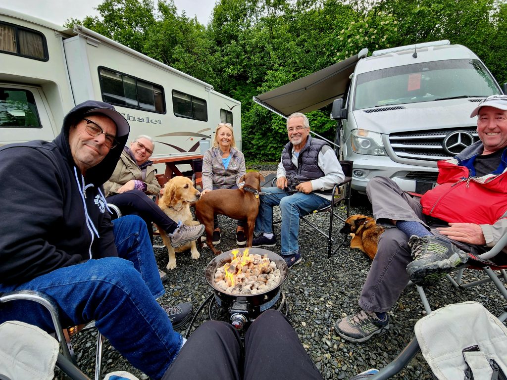
And, in what has become a common practice among our Alaska 7 group, we stayed warm around Tom’s gas firepit as we relaxed after dinner. It has been so much fun to have traveling companions with whom we can hang out and share adventures.
Hanging out at the campsite
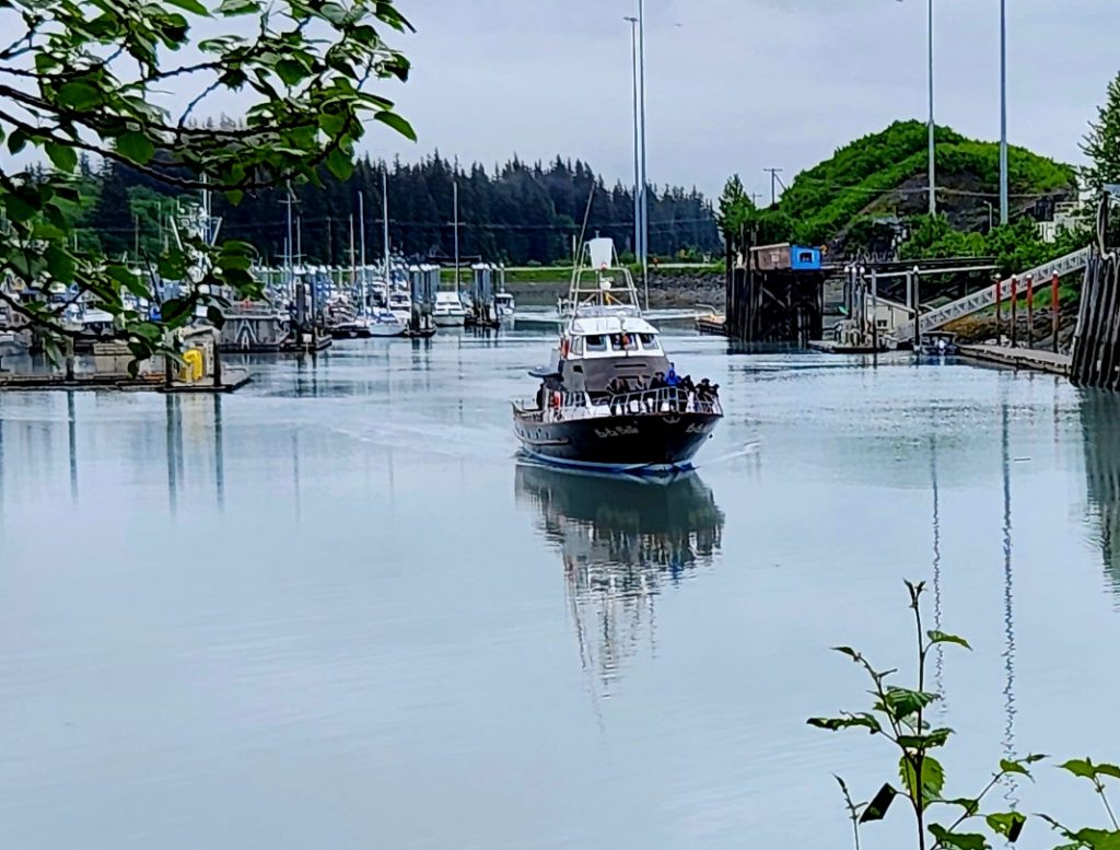
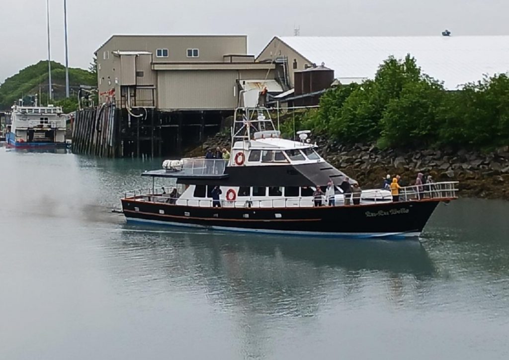
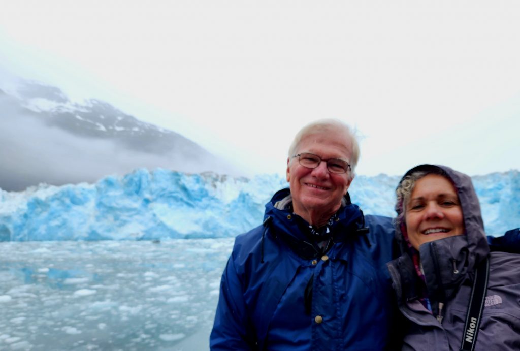
Day 27 Though it was foggy and rainy this morning, we stood in line to await our next adventure—aboard the Lu-Lu Belle boat. While Tom and June stayed behind to take care of the dogs, the remaining five of the Alaska 7 bundled up for our 9-hour day. We boarded the Lu-Lu Belle, built and maintained by Captain Fred, our tour guide. Fred has been guiding tours in Prince William Sound for 46 years, and still expresses great enthusiasm for each bit of history, geography, culture, and natural history he shares with his on-board guests.
The Lu-Lu Belle heads out each morning right past our campsite.
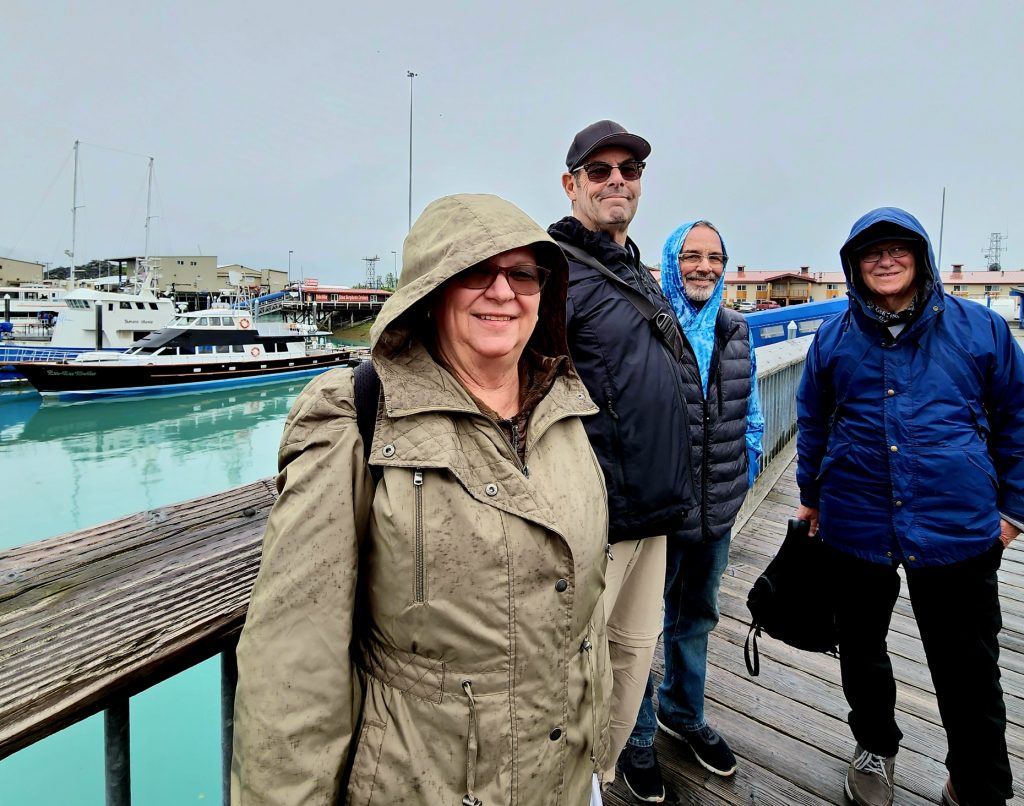
Getting ready to board the Lu-Lu Belle
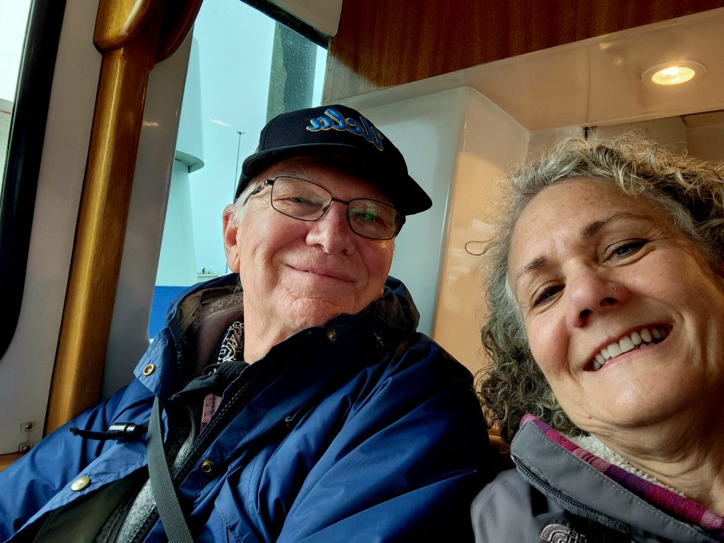
On board this beautiful boat
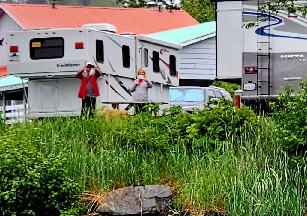
Tom and June were onshore at the campground, wishing us "Bon Voyage."
Tom took our picture as we left the harbor.
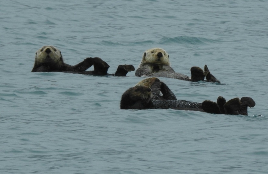
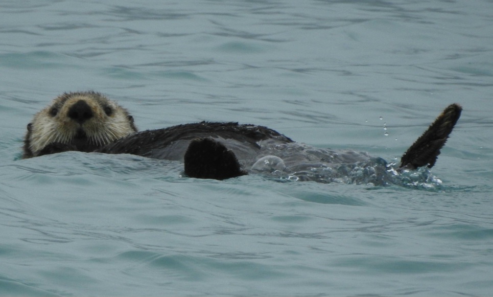
We first enjoyed a raft of sea otters and noted that they were quite a bit larger than the California sea otters we see along our Central Coast. No babies in this location, but they were still entertaining to view.
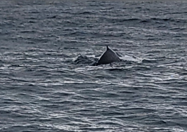
Next up was a young humpback whale that Captain Fred called Lumpy. Lumpy allowed us to watch him for quite some time, until Captain Fred needed to move us to calmer waters. Click on the 5-second video to get a glimpse of Lumpy.
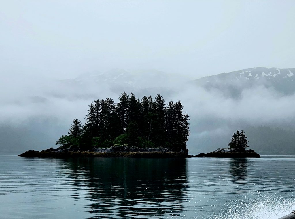
Gorgeous views all along the boat ride
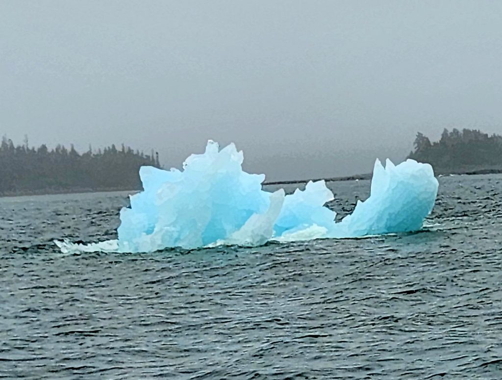
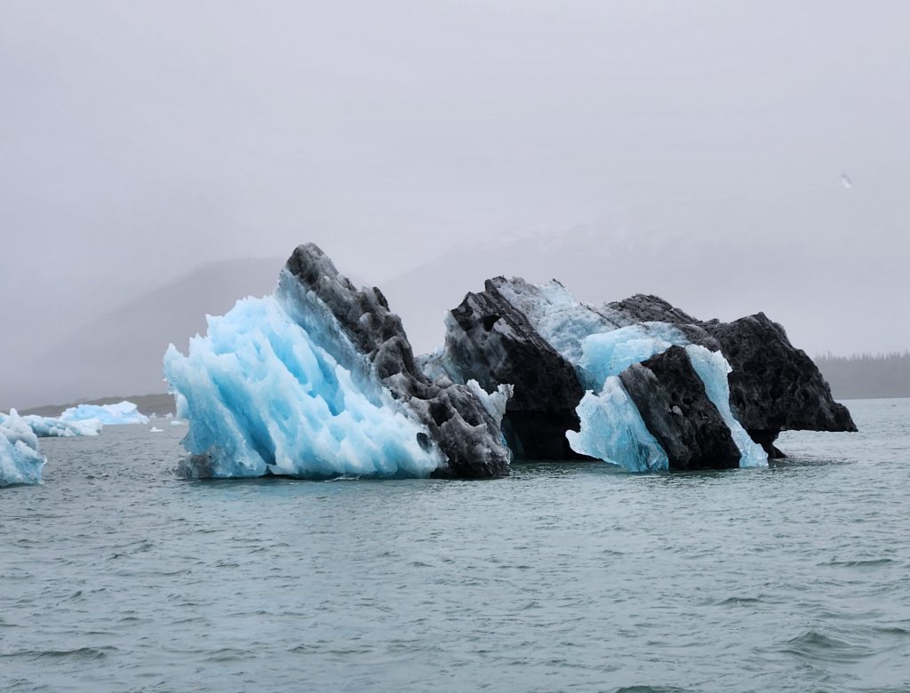
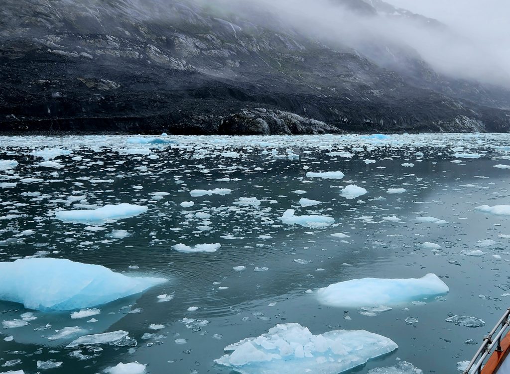
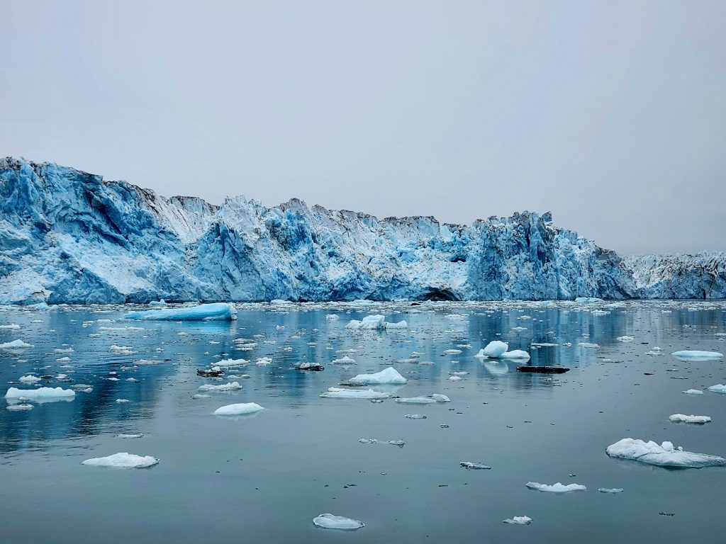
And then on to the main event—a long boat ride to the Columbia Glacier. As we approached the glacier, more and more big and small pieces of floating ice (called pack ice) came into view, and Fred slowed the boat down, navigating these icy waters as his father and grandfather had done before him.
Some of these pieces of ice looked like sea monsters or other creatures.
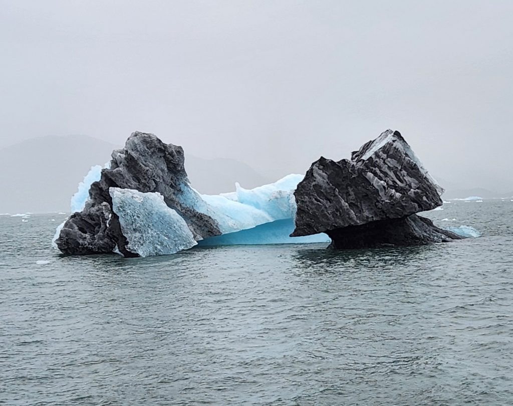
Some of the ice was black or a mix of colors--ground up rock from the glacier mixed in with the frozen water.
Navigating through pack ice is not easy.
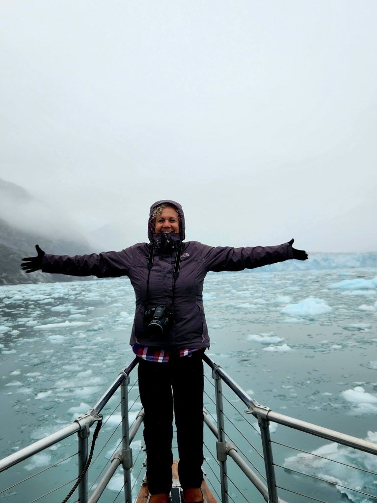
I'm King of the World!
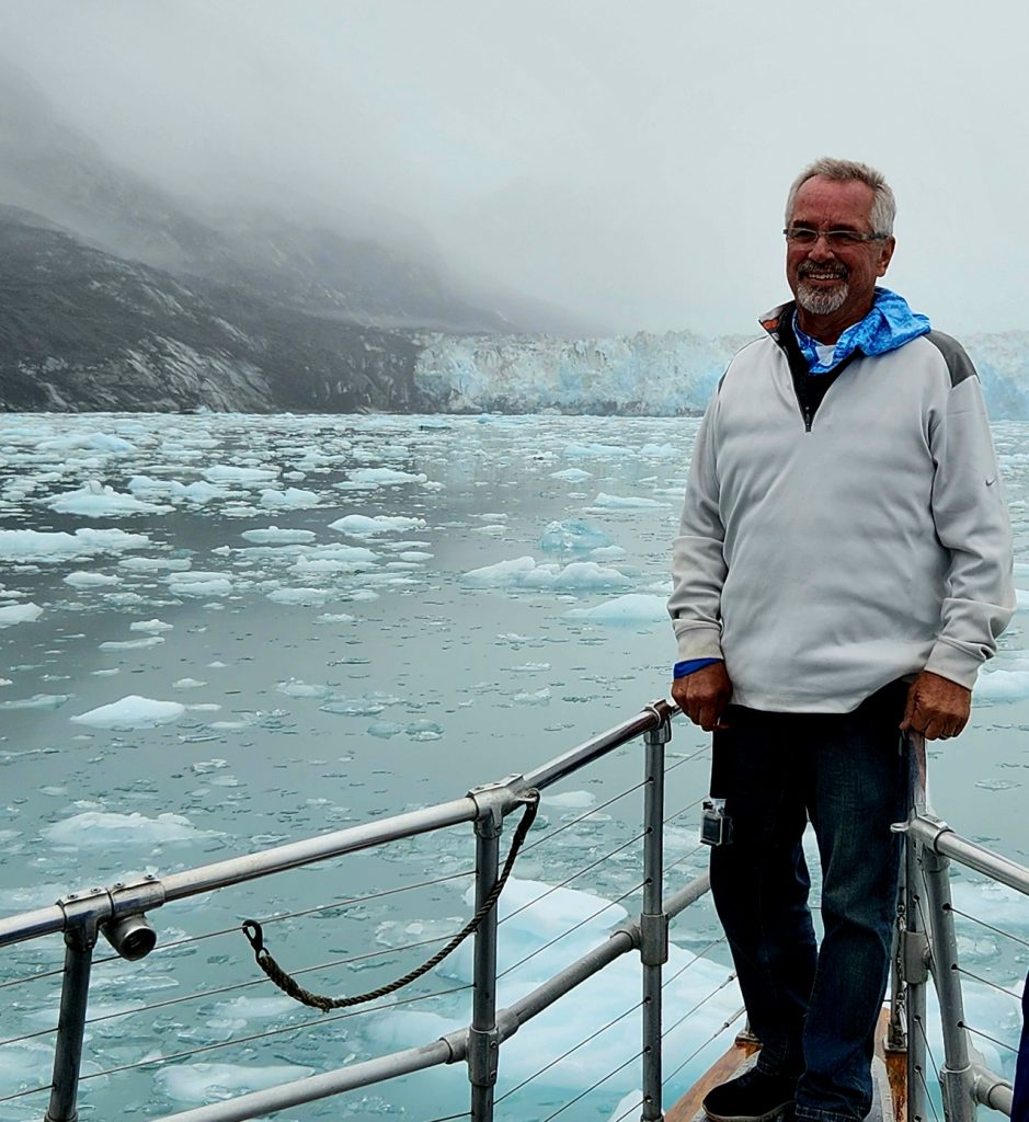
Or maybe Ron is!
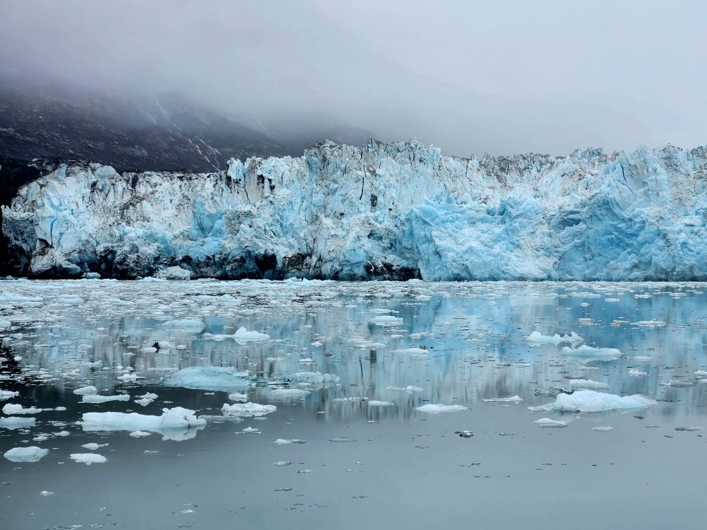
It was very foggy, but eventually the Columbia Glacier became visible, and we were struck by its enormity. Columbia is one of the fastest moving glaciers in the world and has been retreating since the 1980s. Fred would point out where the glacier’s boundary had been in 2000 and 2010, and we could see that many miles of the 32-mile glacier were gone.
We watched for a long time, hoping for a major calving event. Possibly because it was so cold (34 degrees outside with the water temperature below 30 degrees), we only observed a few small pieces falling off the glacier (click on the 6-second video below). It was still an incredible treat to watch this massive piece of ice, the “river” it created and the coldness of the air around it. One-third of our 80-day trip is now completed.
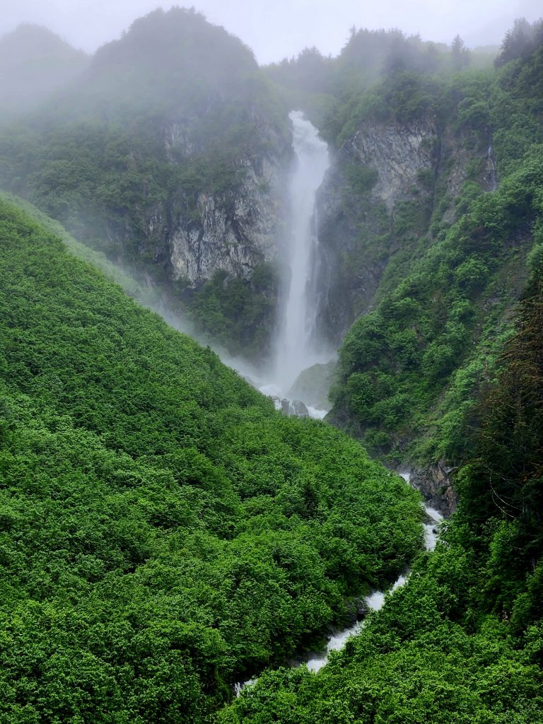
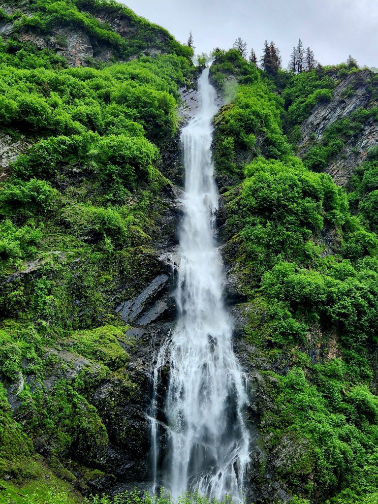
Day 28 Our last full day in Valdez. We’ve had several rainy days, but when the mountains poke out of the clouds, there is no place more beautiful. We drove back up the Richardson Highway to enjoy Bridal Veil Falls and Horsetail Falls once again. We had passed them on the way to Valdez in the RV, but now we could get out of the car and admire these beautiful falls for several minutes.
Bridal Veil Falls
Horsetail Falls
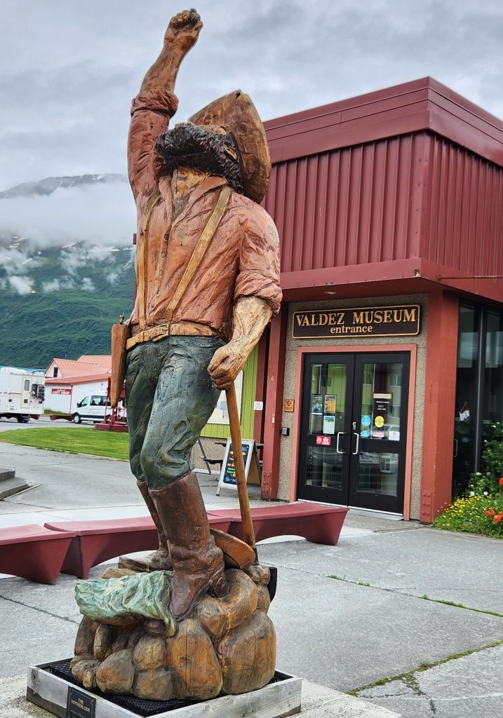
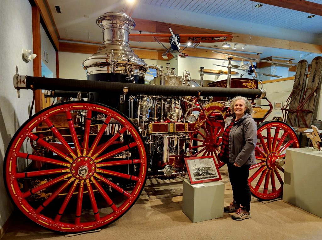
We also stopped in town at the Valdez Museum, which has comprehensive displays on the history of the Valdez area, from the Native Alaskans who lived here for centuries to the miners who tried to get to the Klondike gold fields through Valdez. There were great little movies on the 1897-98 Klondike Gold Rush and the 1964 earthquake/tsunamis. Exhibits included information on both the earthquake and the 1989 Exxon Valdez oil spill.
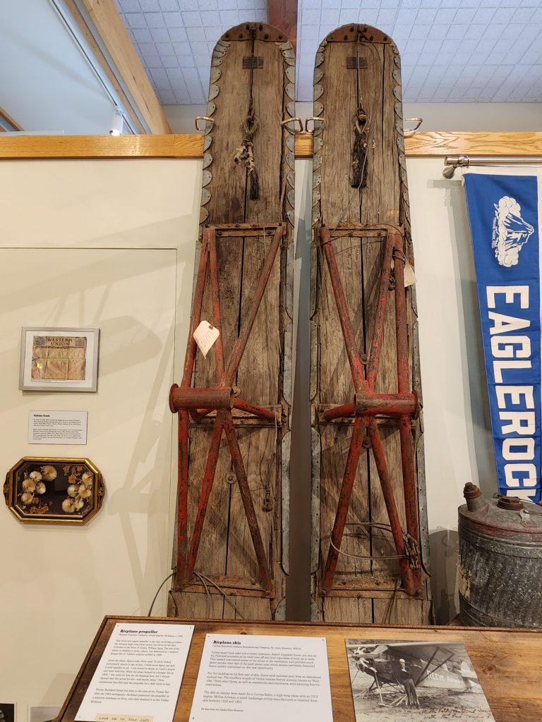
Airplane skis
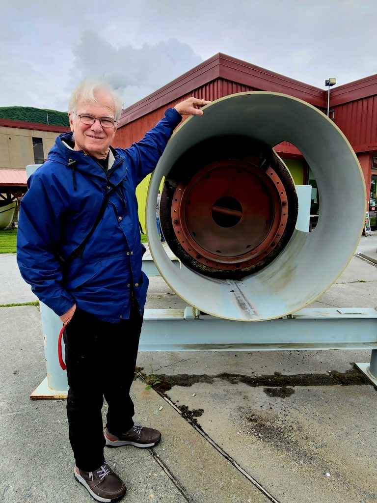
A section of the Alaska Pipeline
The museum’s annex, located near the ferry terminal, has a “Remembering Old Valdez” exhibit (ROVE), with artifacts and a scale-model of the town prior to the 1964 earthquake.
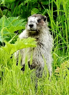
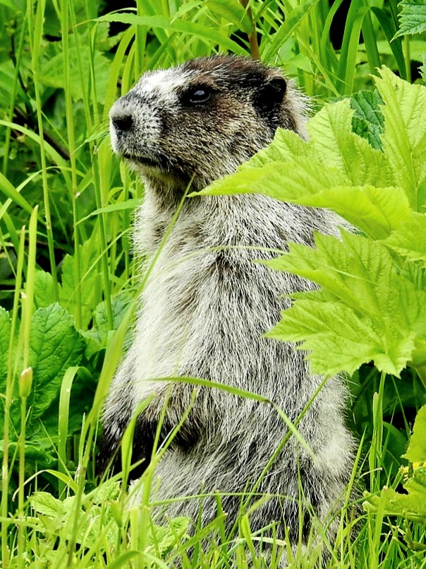
And because we love our critters, we were delighted to find a hoary marmot munching on leaves in back of the museum annex, just a short distance from our campground. We haven’t seen a lot of wildlife since entering Alaska, so this guy was a treat!
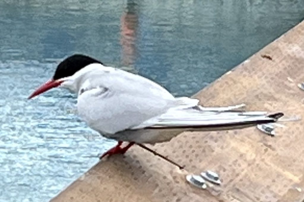
An Arctic tern in Valdez
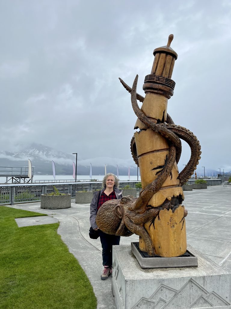
A chainsaw carving at the Valdez ferry terminal
A late lunch from Nat Shack (introduced to us by Adam & Katherine, YouTubers who recorded their extensive RV trip to Alaska) completed our afternoon adventures, as we prepared to depart early the next morning.
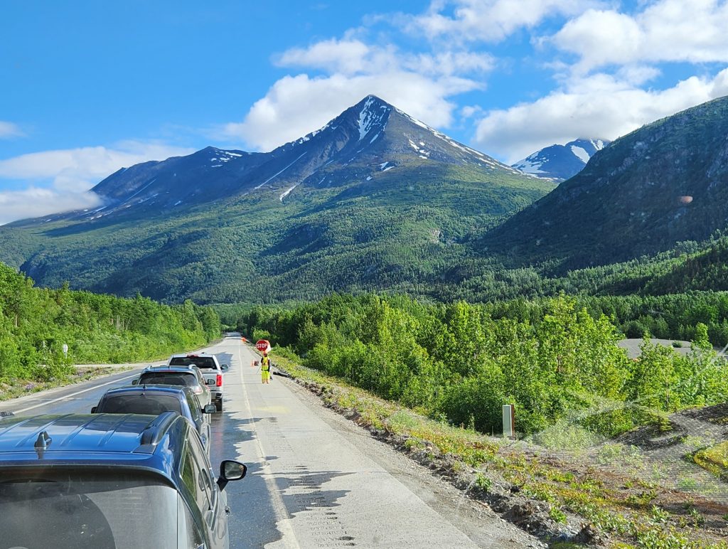
Day 29 This morning, we backtracked from Valdez heading north, once again enjoying the beautiful vistas around Thompson Pass, Worthington Glacier, the Wrangell Mountains, and beyond.
We had 5 stops for road work today.
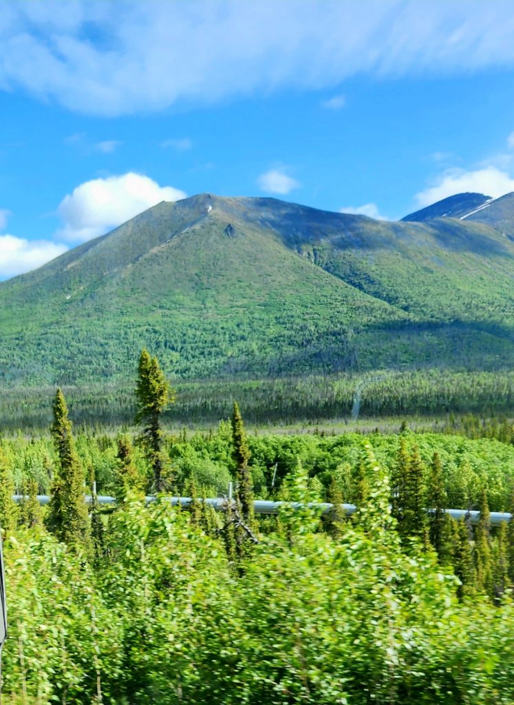
A section of the Alaska Pipeline visible from the Richardson Highway
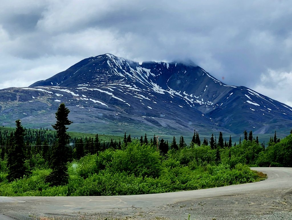
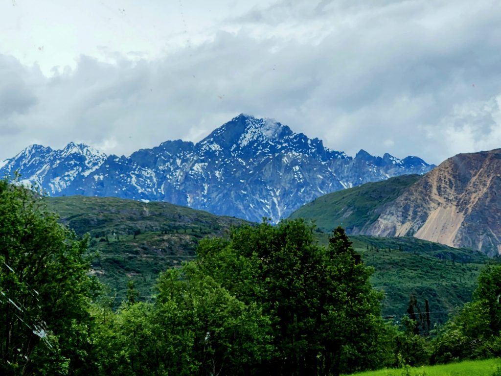
Where the Richardson Highway intersects with the Glenn Highway, we headed west toward Anchorage. This part of the Glenn Highway was new for us, and we once again enjoyed stunning scenery as we drove along.
Heading west on the Glenn Highway--more beautiful mountains
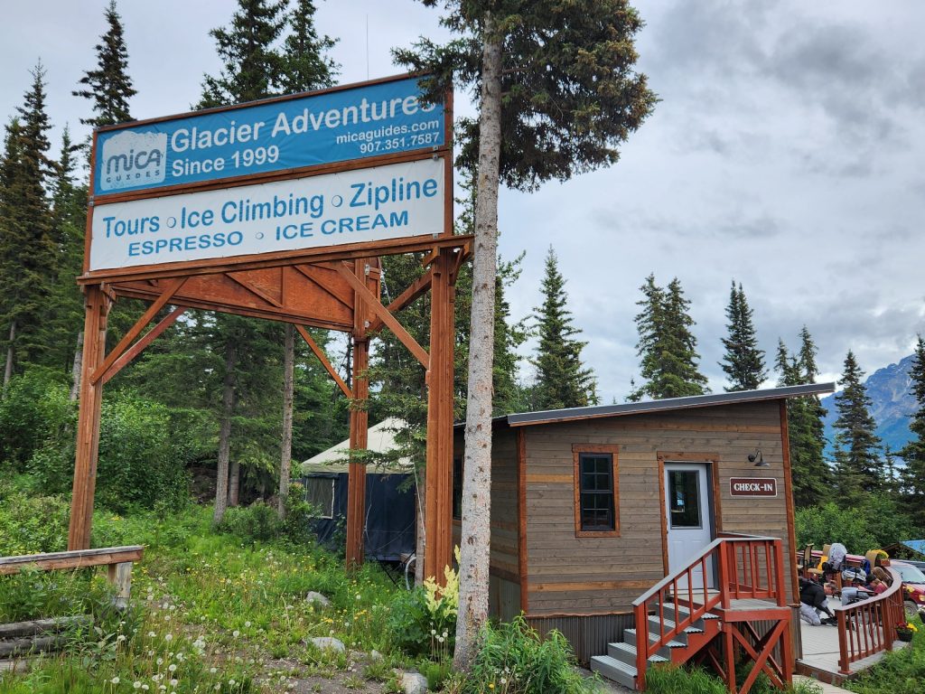
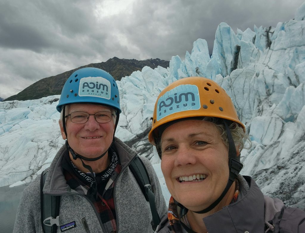
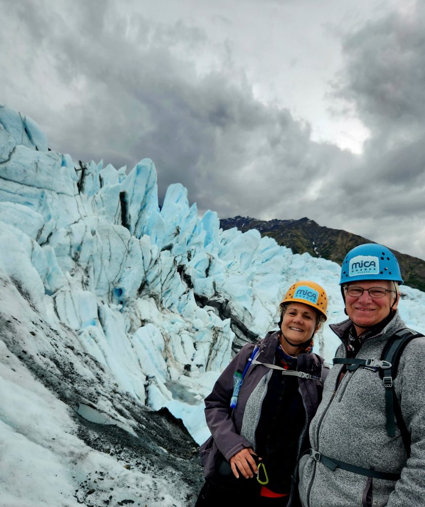
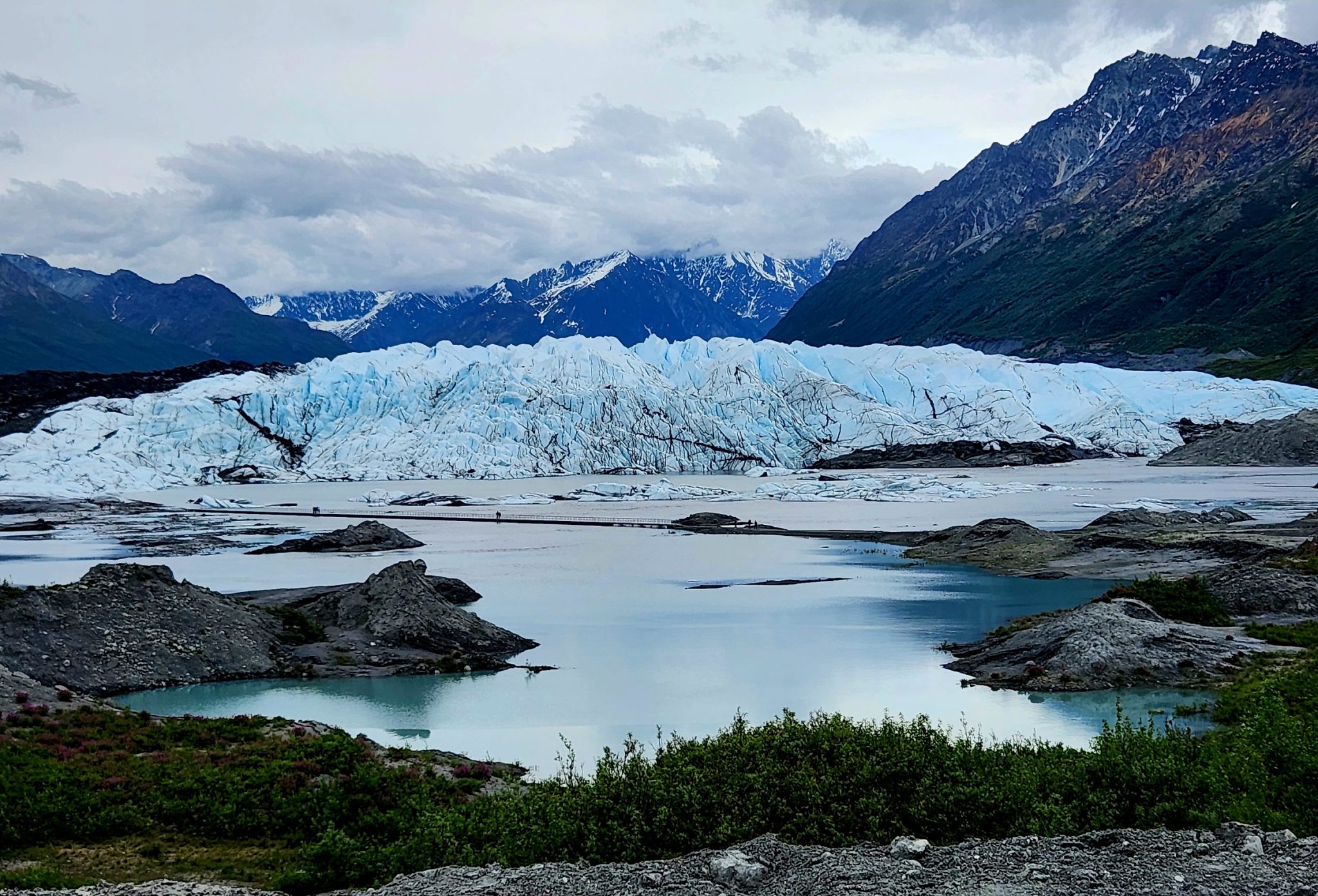
We had left extra early this morning because we had a late afternoon appointment to keep. After checking into our campground in Glacier View, we headed a few miles further up the road to MICA Guides, one of the companies that specializes in taking people out onto the Matanuska Glacier.
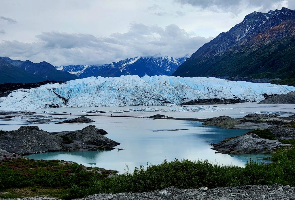
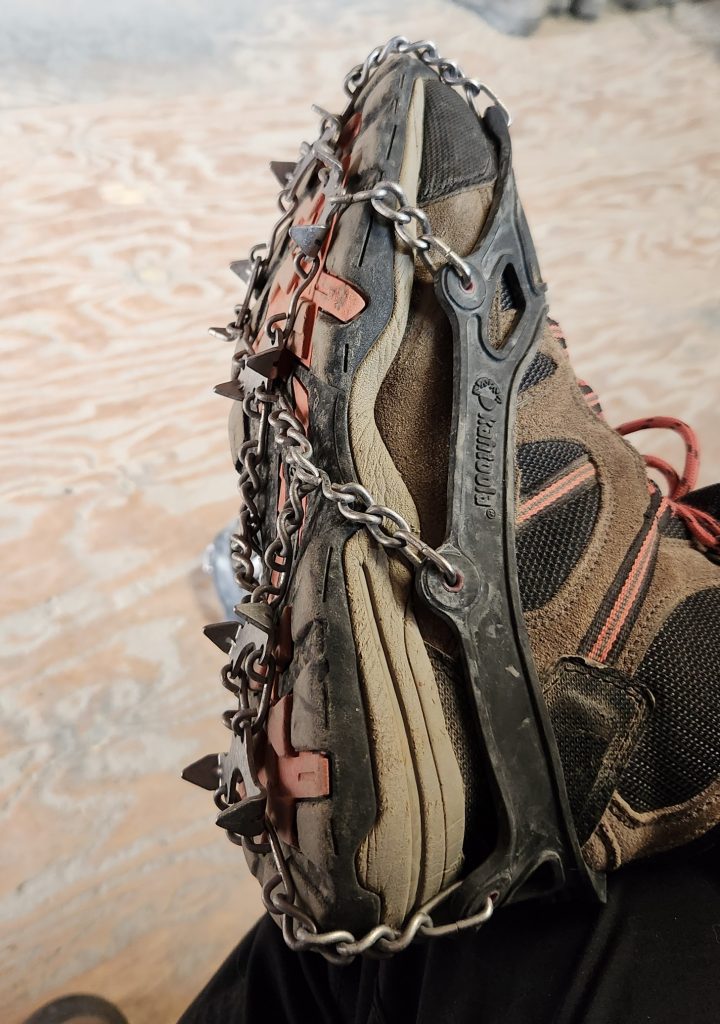
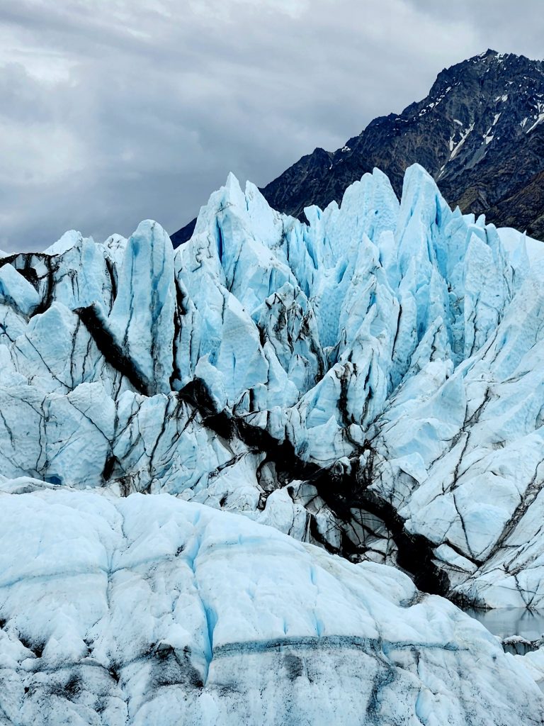
Matanuska Glacier is a 27-mile-long river of ice, the largest glacier in the U.S. that can be reached via a vehicle. There is a private access road, and you must be part of a guided tour to visit the glacier. MICA Guides offers a few different options, but we chose the Ice Fall Trek, where we spent three hours on and around the Matanuska Glacier, wearing helmets and micro-spikes (smaller versions of crampons) to keep us safe.
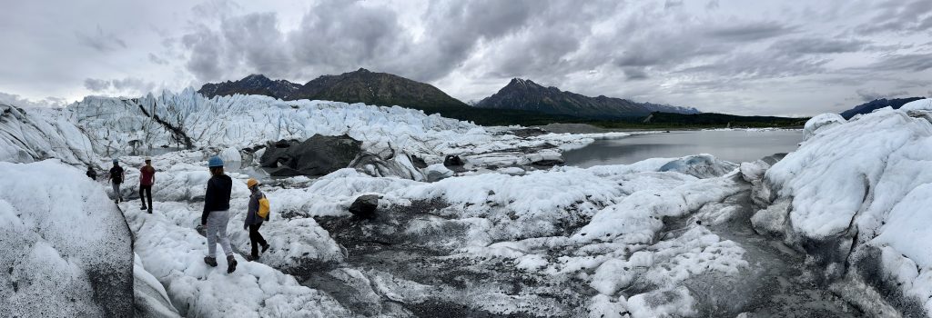
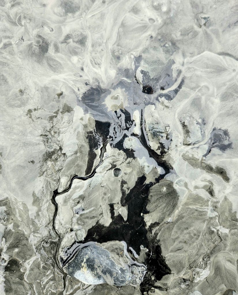
Quinn, our guide, shared details about the glacier and made sure we did a maximum amount of exploration during our three hours on the ice. We learned that an ice fall is where a glacier encounters a big hunk of rock (possibly granite) that it can’t grind up, so it has to go up and over the big rock. We also learned that all the black stuff on or near the glacier isn’t just rocks or mud. It’s actually ice mixed with ground-up rocks.
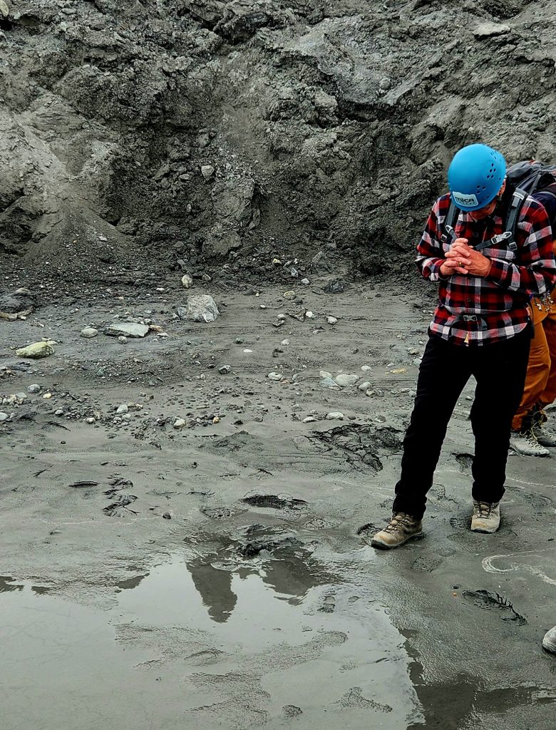
And I definitely learned that the glacial mud or clay that is great for skin care, is also incredibly dangerous. It may appear fairly solid, but when you jiggle and press it with your boot, it can quickly become liquified. I cautiously placed a boot into a seemingly-solid section of mud, and within a few seconds, I had great difficulty pulling my foot and boot out of the mud. The suction was very powerful. You wouldn’t want to go in any deeper than the bottom of your shoe!
Hank tests out the suction of the glacial mud.
A bit of black ice in the mix
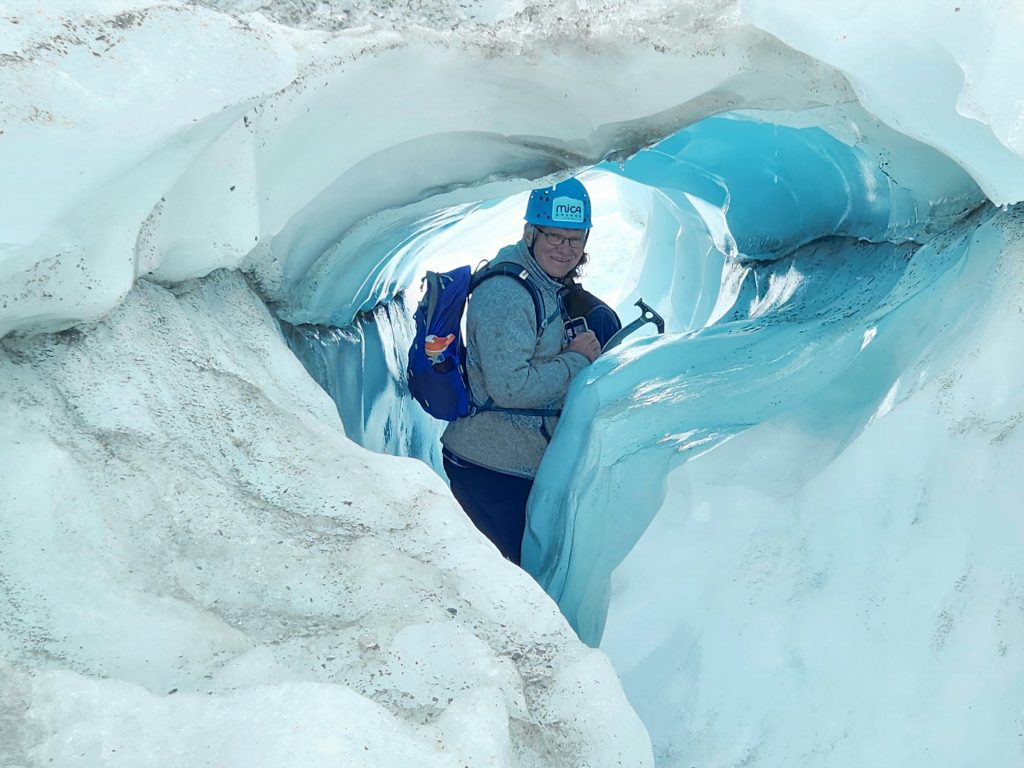
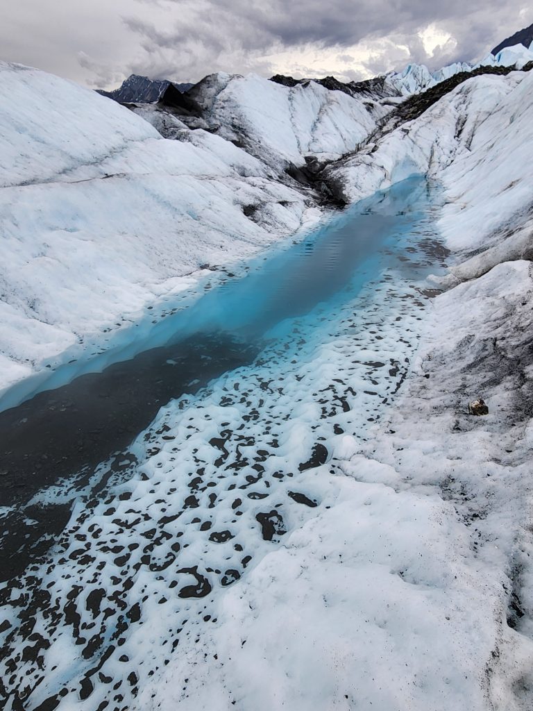
We got to see a variety of different formations on the Matanuska Glacier and came back to the RV after our late afternoon trek tired but exhilarated.
The tallest part of the ice fall
The water in this crevasse is over 18 feet deep!
Climbing around on an actual glacier was a great way to end this part of our trip. From Worthington Glacier to Columbia Glacier to Matanuska Glacier–what a chilling experience! Next we headed into the Anchorage area, which will be our next blog post.
15 thoughts on “Alaska-Part 5-Glacier to Glacier (Valdez to Matanuska)”
Just another enjoyable “trip thru the glaciers”??so beautiful & informative ? thanks again??
You’re right, Anne! Alaska is a truly unique state. It’s unlike any of the other states in so many ways. It is spectacular and we feel so privileged to get to explore it in this way.
Thank you, Lynn. We’re glad you’re enjoying the journey with us. Right now it is pouring rain outside, but we still find a way to see and do the things we want to do. Thanks for reading!
Just another enjoyable “trip thru the glaciers”??so beautiful & informative ? thanks again??
Thanks for reading, Donna! We’re glad you’re enjoying following your son’s adventures!
Such amazing countryside/land vistas, scenery. Spectacular! One of the more unique 50 states indeed!!
You’re right, Anne! Alaska is a truly unique state. It’s unlike any of the other states in so many ways. It is spectacular and we feel so privileged to get to explore it in this way.
What an amazing adventure! Love your blog and the beautiful photos! Breathtaking scenery!
Thanks, Ilene. We’re glad you’re enjoying the journey along with us.
Absolutely stunning! What a fabulous adventure, thanks so much for sharing it!
Thanks, Carma, for following along with us. Tom and the dogs are doing great!
Absolutely stunning! Thanks for sharing your adventure!
Cindy and Hank – thank you for taking us along with you. The text and photos are marvelous. Be safe and have so much fun as you continue on.
Thank you, Lynn. We’re glad you’re enjoying the journey with us. Right now it is pouring rain outside, but we still find a way to see and do the things we want to do. Thanks for reading!
Amazing. Thanks for sharing.
Thank you, Laura. It’s been a lot of fun thus far, even with all the rain and the many miles of driving.
Dear Hank and Cindy,
Thanks for the beautiful pictures and your commentaries on them
I’ve enjoyed ALL that you have sent.
Come back safely, do you hear?!?!
Love,
Mom/Sue
Thanks, Mom! Glad you’re enjoying the blog. Yes, we definitely plan to come back safely :)!