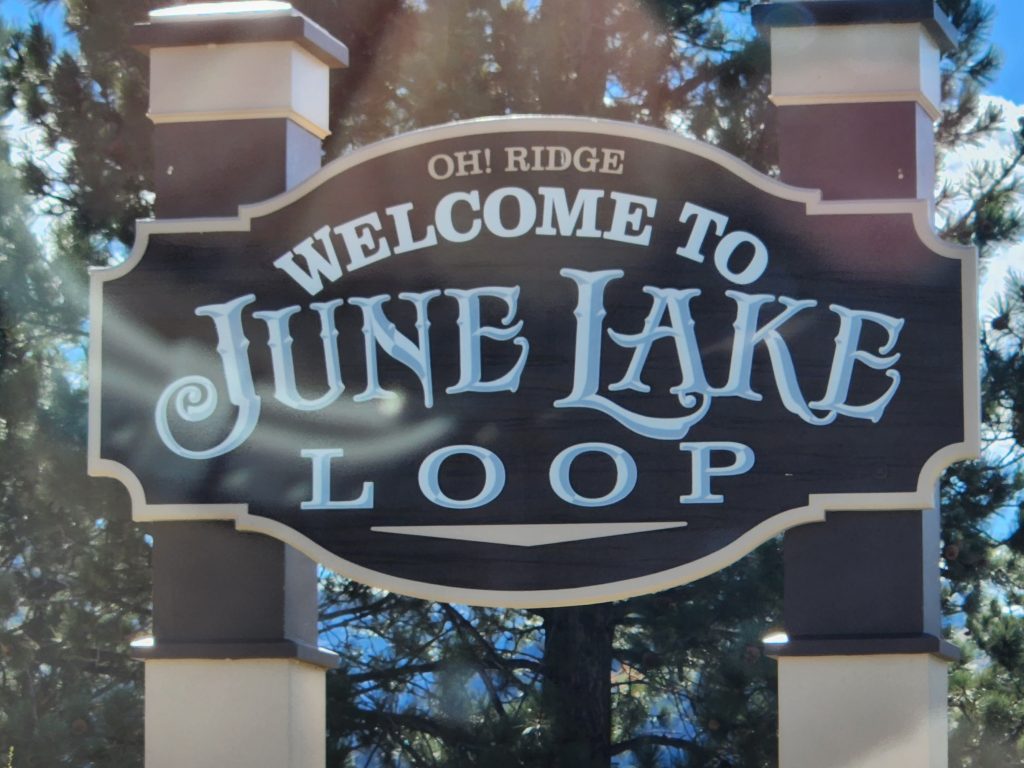
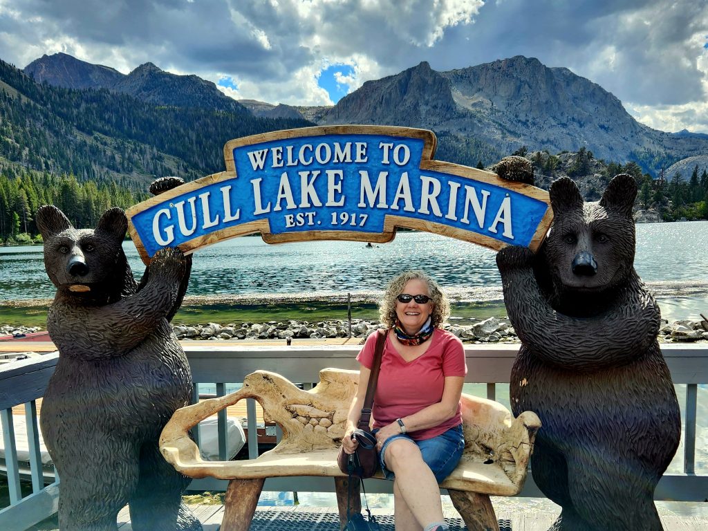
For our final leg of this RV trip in the Eastern Sierra Nevada mountains, we headed back down U.S. 395, stopping for three nights in the small town of June Lake (just north of Mammoth Lakes). There are four lakes that form the June Lake Loop, and we were positioned between two of them, June and Gull.
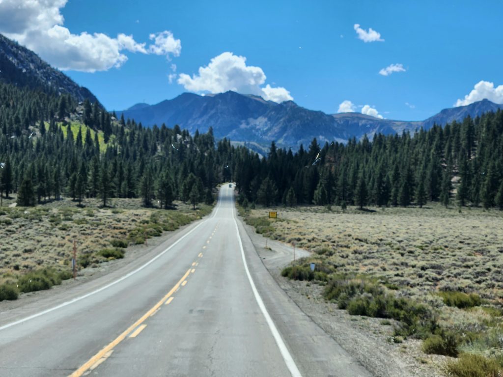
Driving down U.S. Highway 395 toward June Lake
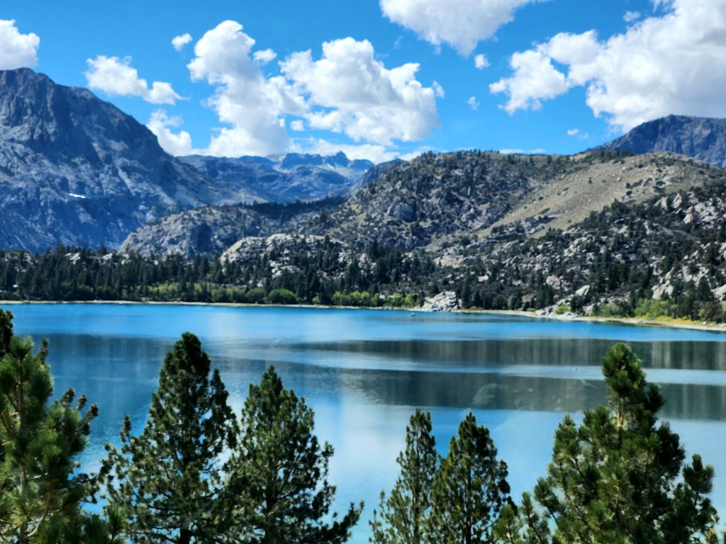
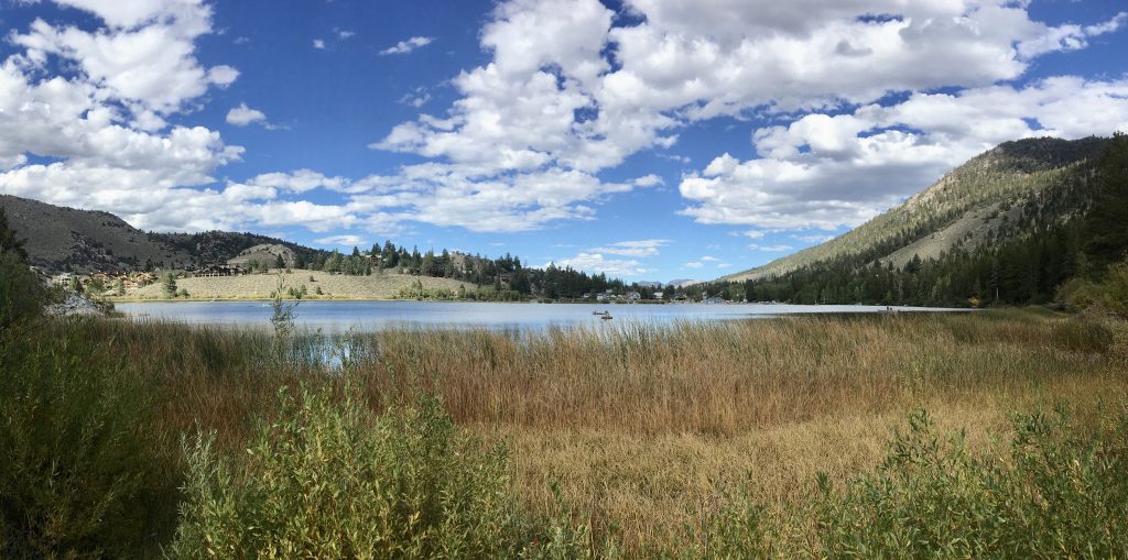
June Lake is stunning!
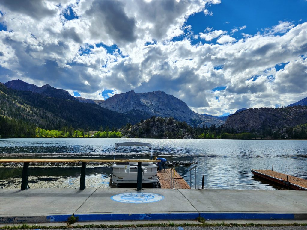
Gull Lake is smaller, but also beautiful.
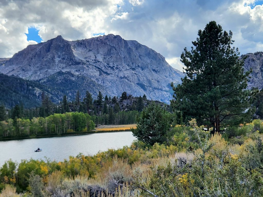
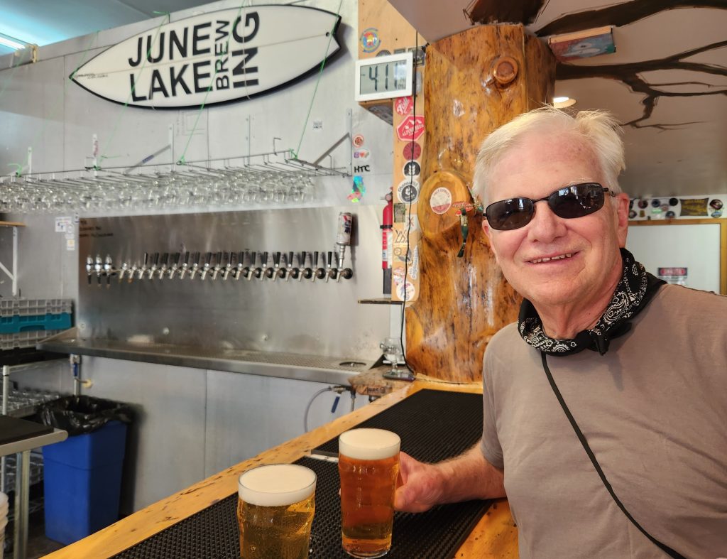
We headed out on foot to hike about 2 miles around Gull Lake, the smallest of the four lakes. We capped off our hike by visiting June Lake Brewing and the food truck next door—La Parrilla (very good Mexican food).
The mountain setting is part of what makes these lakes so picturesque.
Gull Lake has a marshy meadow around it. Very pretty.
The reward for our hike
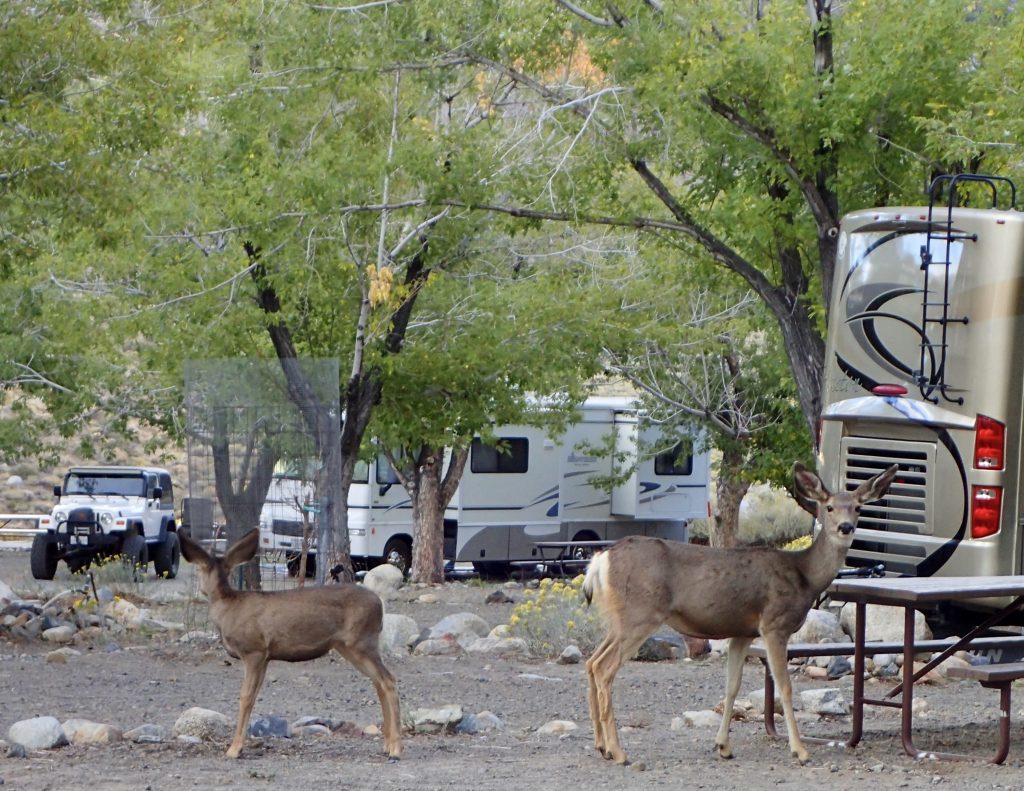
Before sunset, we drove the rest of the June Lake Loop, pausing briefly at Silver Lake and Grant Lake. We even spotted a few deer hanging out in the Grant Lake Marina campground.
Deer look for dinner in the campground.
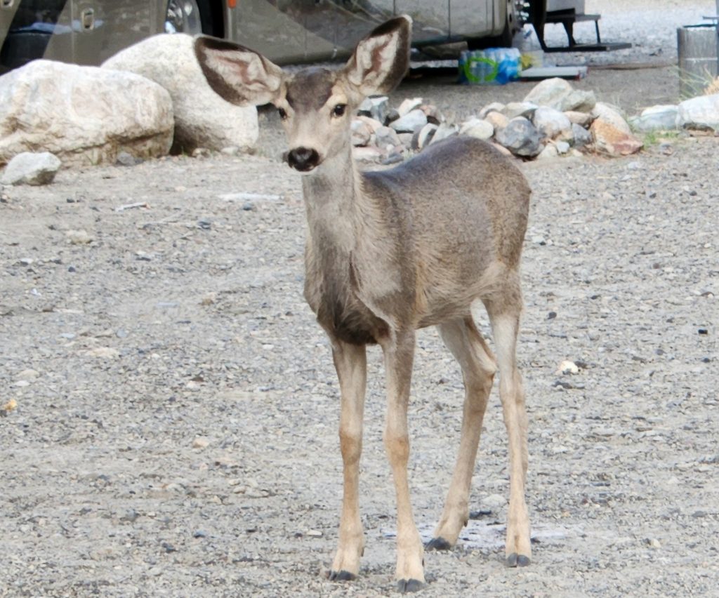
This fawn has lost its spots, but is still quite small.
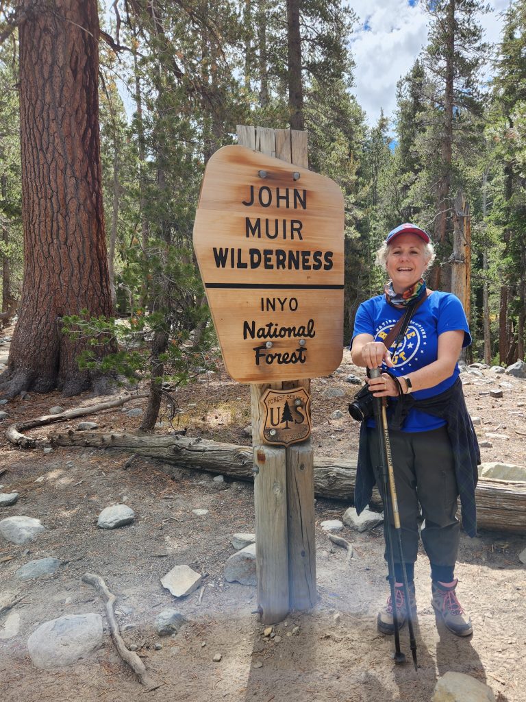
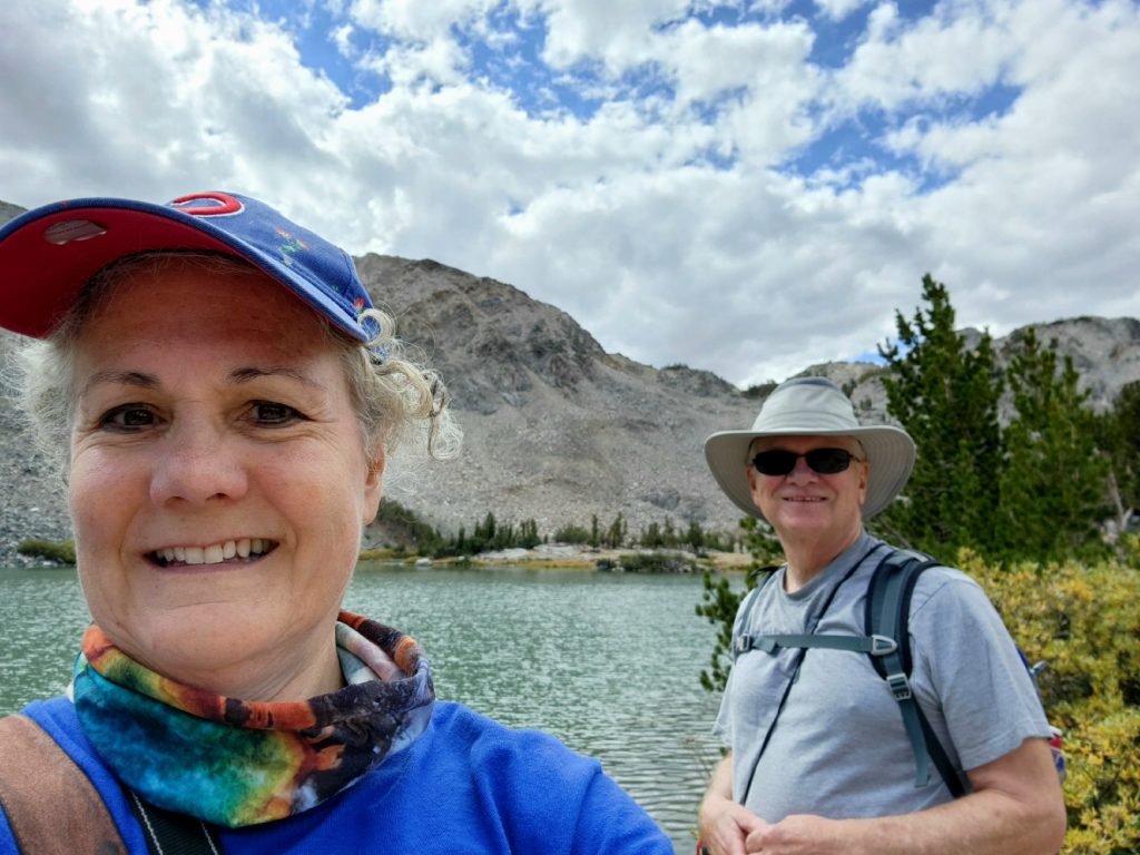
Most of the hiking in this area originates close to Mammoth, so the next day we headed a few miles south and made our way to the Mammoth Welcome Center/Ranger Station in town. A very helpful ranger gave us some great hiking ideas, and we decided to hike to Barney Lake along the Duck Pass Trail, returning via the Emerald Lake Trail.
Our route to Barney Lake and back
Heading out toward Barney Lake
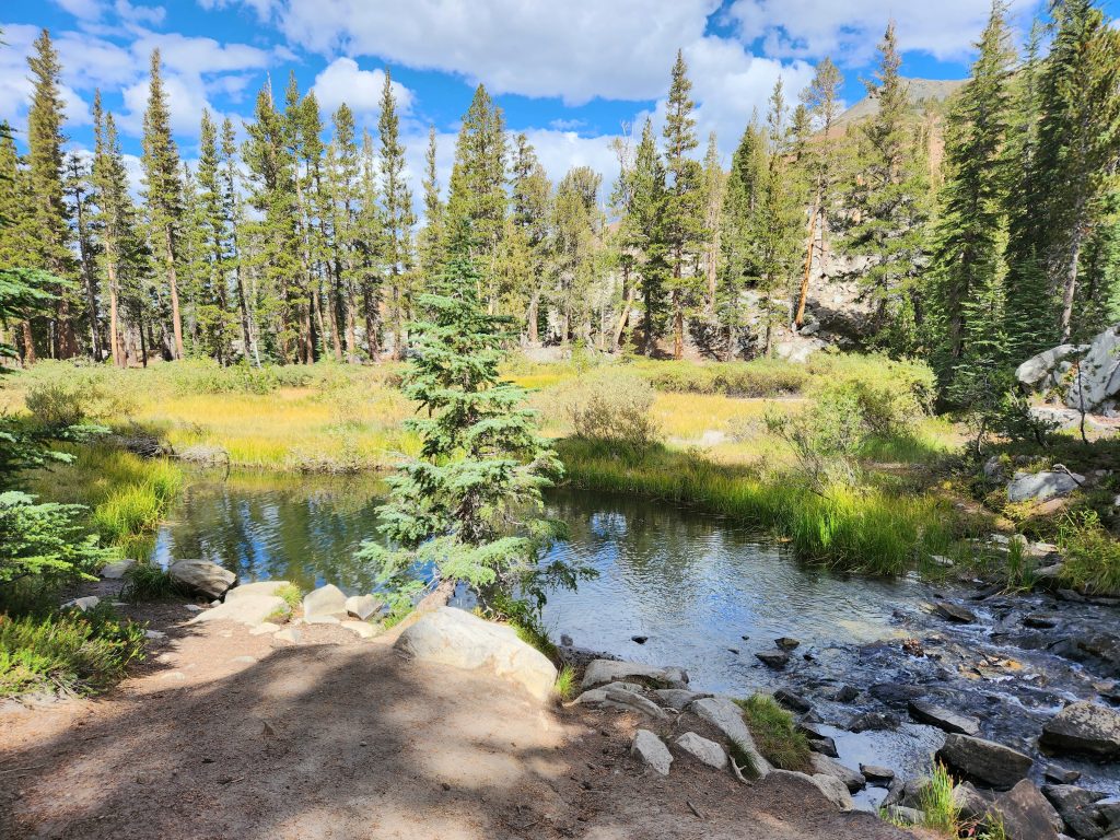
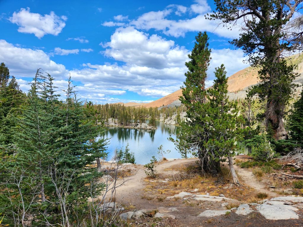
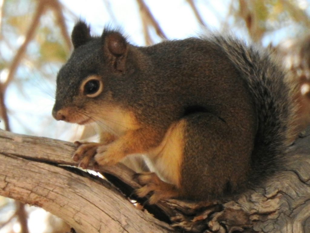
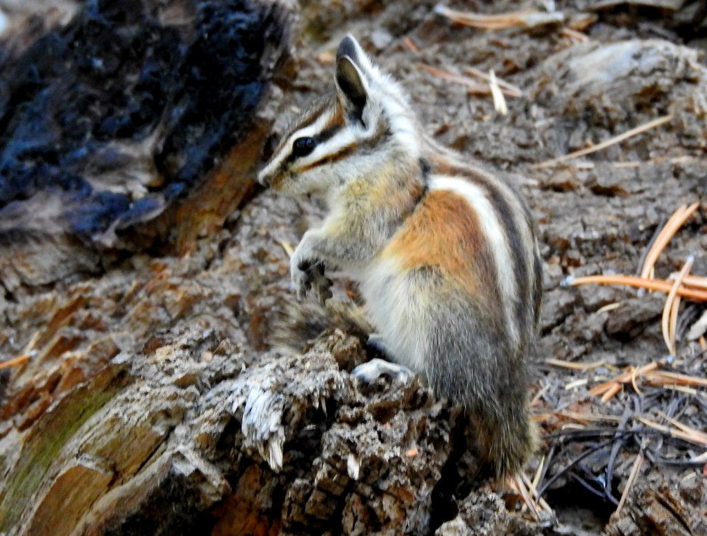
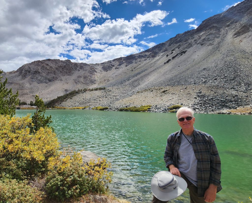
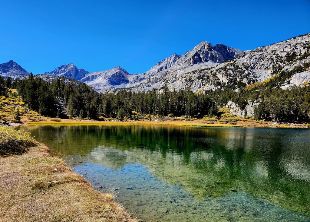
The Barney Lake Trail was a 5.4-mile hike that took us almost 4 hours, as it was quite challenging (it might be a little easier to go counterclockwise). We started above 9,000 feet and traveled to over 10,000 feet in elevation, so it was a cardiovascular workout. But we loved the pretty lake views along the way—Skelton, Barney, Red, and Emerald Lakes—along with a few critter sightings (squirrels and chipmunks).
Barney Lake, our turnaround spot and lunch location
Emerald Lake, on the way back down
Squirrel
Chipmunk
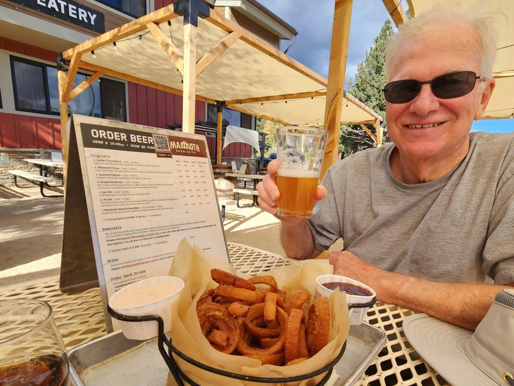
To celebrate our hard work, we enjoyed an afternoon snack at Mammoth Brewing (are you noticing a theme?).
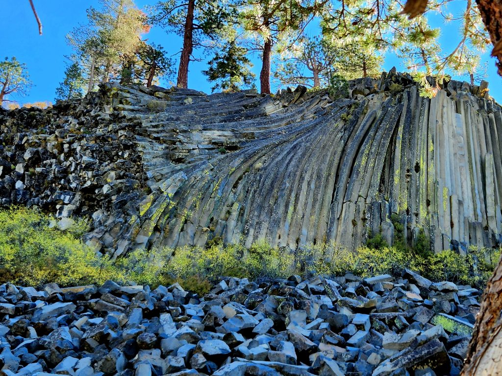
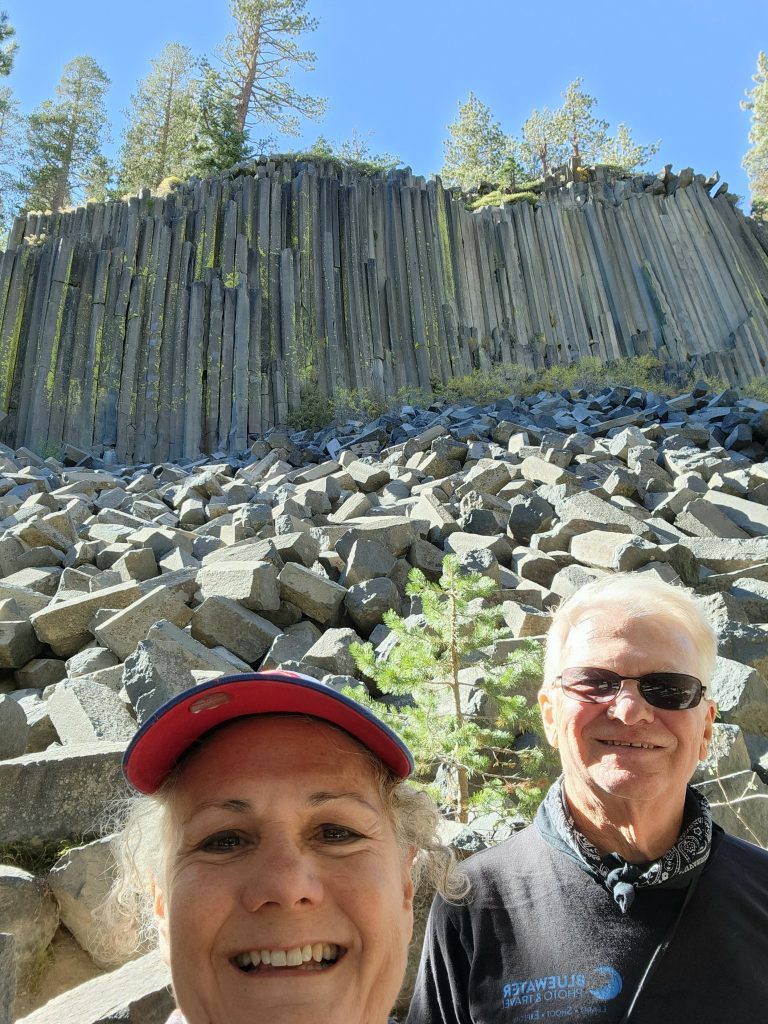
The next day we first drove to Devil’s Postpile National Monument, which we hadn’t visited for 26 years. The road to get there is long, windy, and narrow, and during the summer you have to take the shuttle. At this time of year, you can drive your car, but the local bus offers tours if you don’t want to do that kind of driving. Fortunately, we got there early, so there were still parking spaces available.
We enjoyed the frontal view of the columns, and also hiked to the top of the postpile, a collection of columnar basalt that we’ve only seen a couple of other places. Long ago, a cooling lava flow cracked into multi-sided columns, creating the pile of “posts” we can see today, both from the top and on the side.
On top, the columns look like tile.
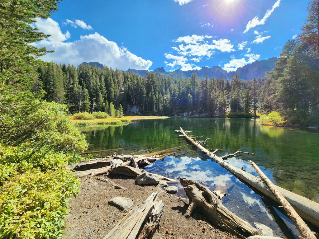
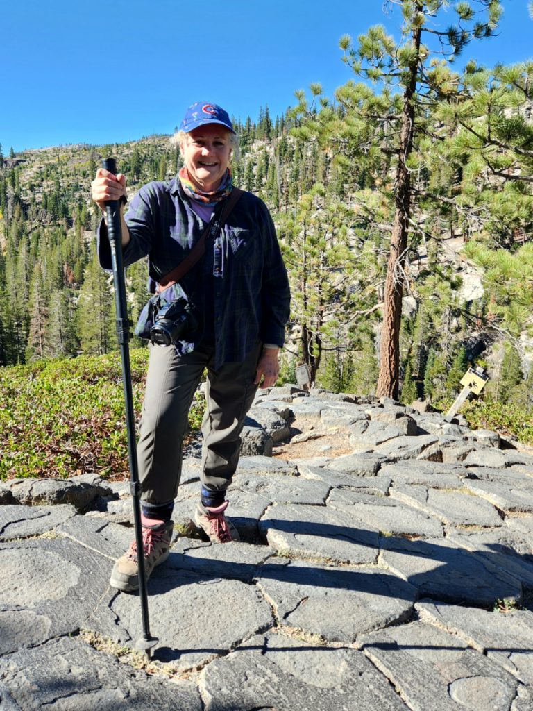
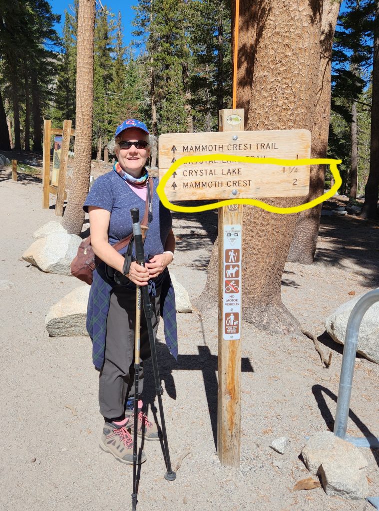
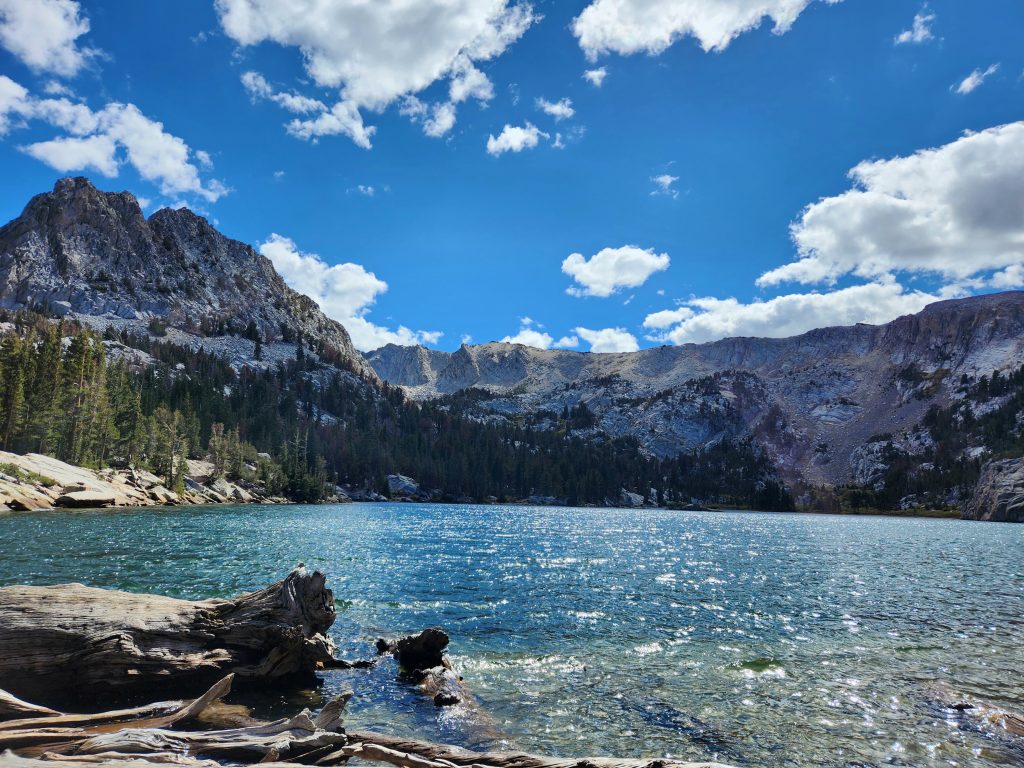
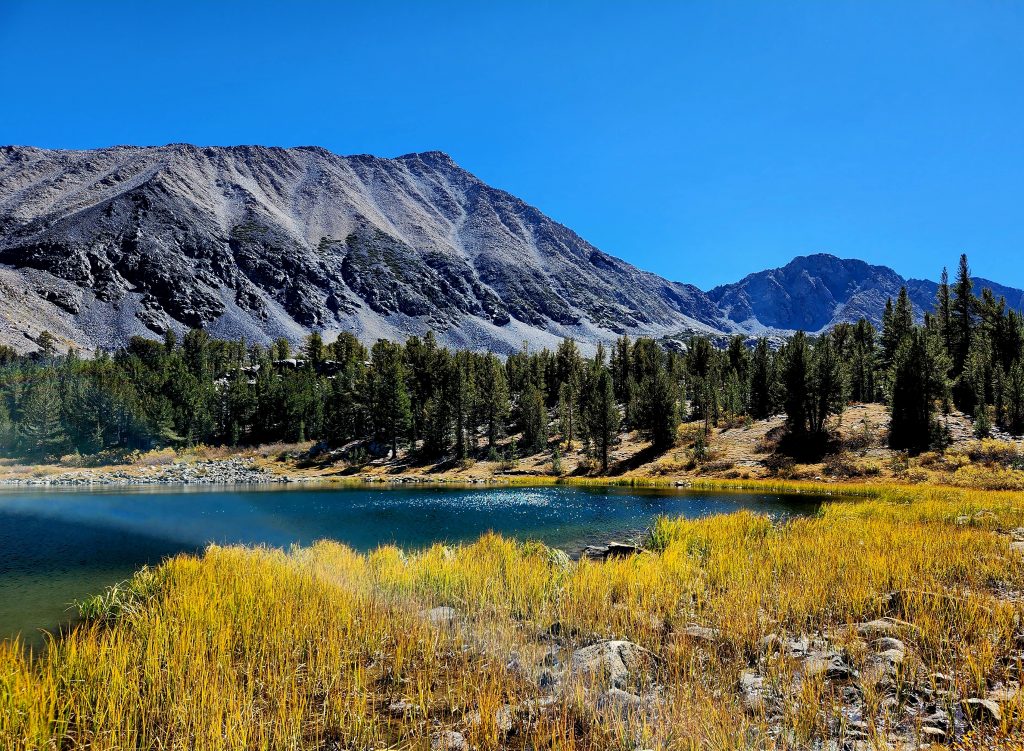
After this short hike to warm us up, we drove to Lake George and set out on the Crystal Lake Trail (3.4 miles round trip). This was our steepest hike of the trip, though the views of Lake George along the way made it completely worth it.
At the trailhead to Crystal Lake
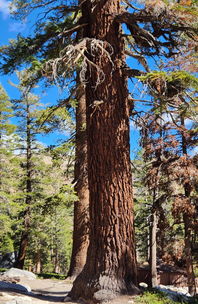
Stunning pine trees along the route
We lunched at Crystal Lake, which looks like a cirque, an amphitheater-like valley formed by a glacier (though I couldn’t confirm this in my internet searching). It’s a beautiful lake at the base of Crystal Crag, and we hiked among lodgepole pine and mountain hemlock trees to almost 10,000 feet to get there.
Crystal Lake lives up to its name.
The views of Lake George and Lake Mary kept us motivated throughout the steep hike.
We unfortunately did not have time to rent eBikes and ride along the excellent bike path through and above the town of Mammoth Lakes, but that just gives us a reason to come back to this area in the future.
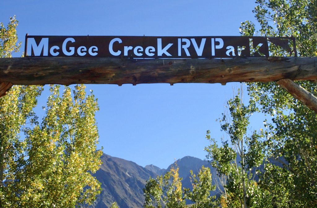
The next day we moved the motorhome out of June Lake, heading further south down the 395 to McGee Creek, another small community not far from Mammoth and across from Crowley Lake.
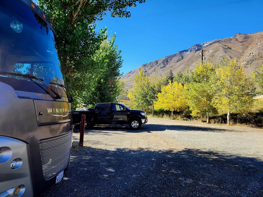
Our campsite at McGee Creek
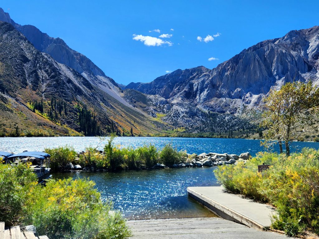
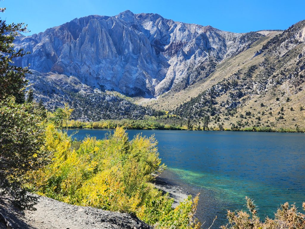
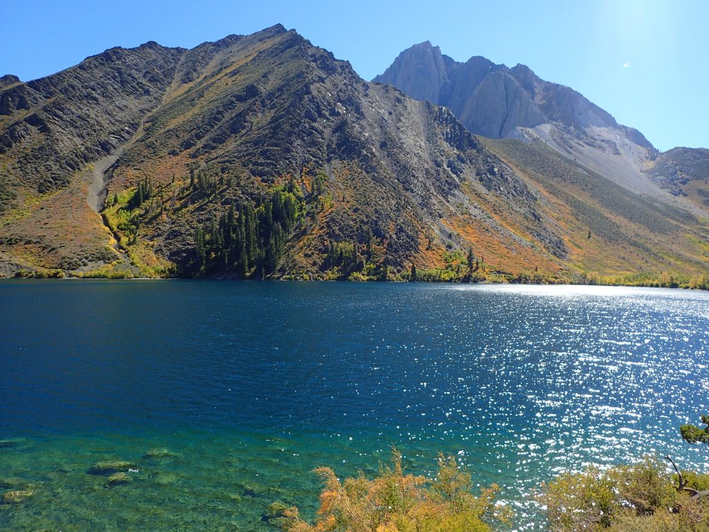
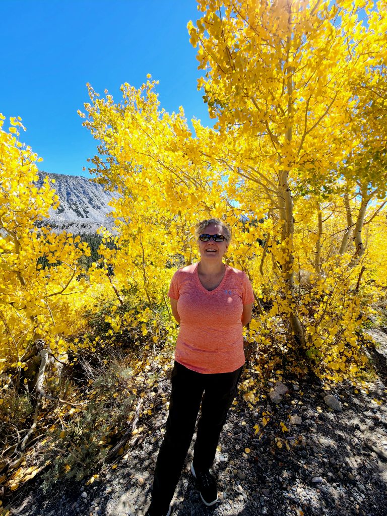
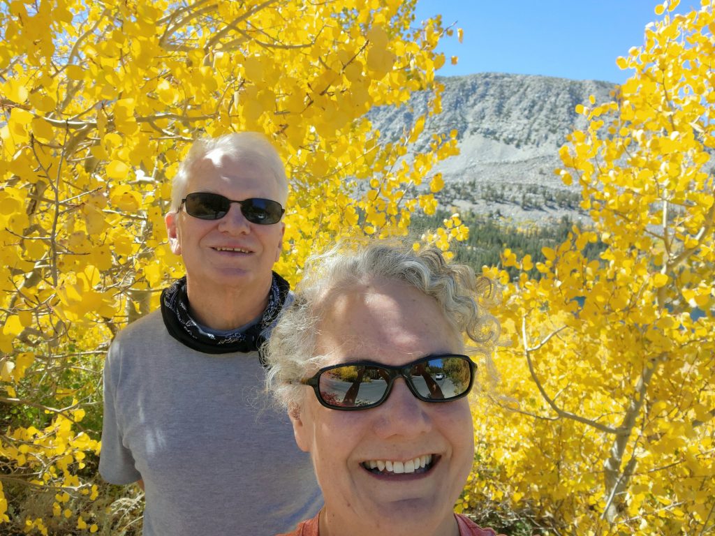
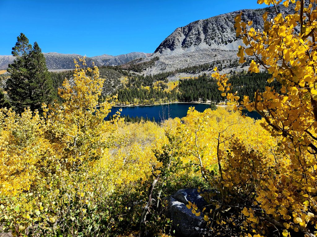
Our first hike in this area was at Convict Lake, where we circled the lake in a 2.5-mile hike among aspens and cottonwoods that were just starting to change to fall colors. The mountains that surround the lake are just as stunning as the lake itself.
Convict Lake and surrounding mountains as seen from the dock
Convict Lake and fall foliage
Convict Lake is named for an 1871 event where a group of escaped convicts hid out near the lake when they were pursued by a posse. The ensuing shootout resulted in several deaths on both sides, and eventually all the escaped convicts were killed, rather than being returned to prison. A sad story and an unfortunate name for the lake, but the lake is stunning nonetheless and worth a visit.
Another view of beautiful Convict Lake
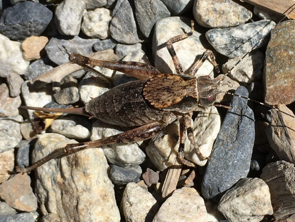
Shieldback katydid
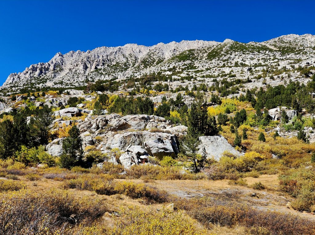
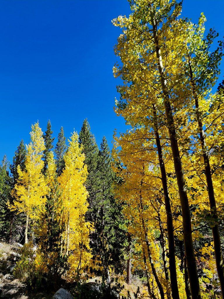
We followed the Convict Lake hike with a drive up McGee Creek Road into McGee Creek Canyon to a parking lot at the McGee Creek Trailhead. We didn’t hike, but we did enjoy the aspens and cottonwoods that were practically turning yellow/gold before our eyes. At this time of year, it’s fun to take scenic drives to enjoy the beautiful fall foliage (even though we’re not in New England). There’s even a website that tells you about the different places you can explore fall foliage in California: www.californiafallcolor.com
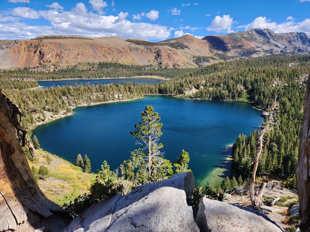
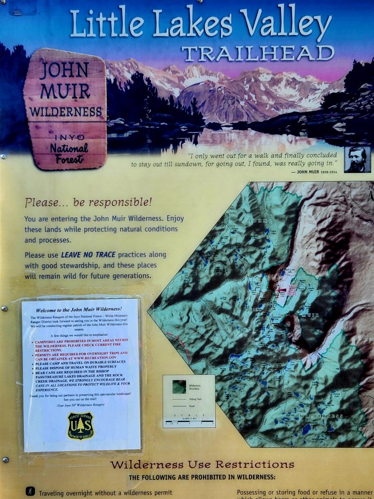
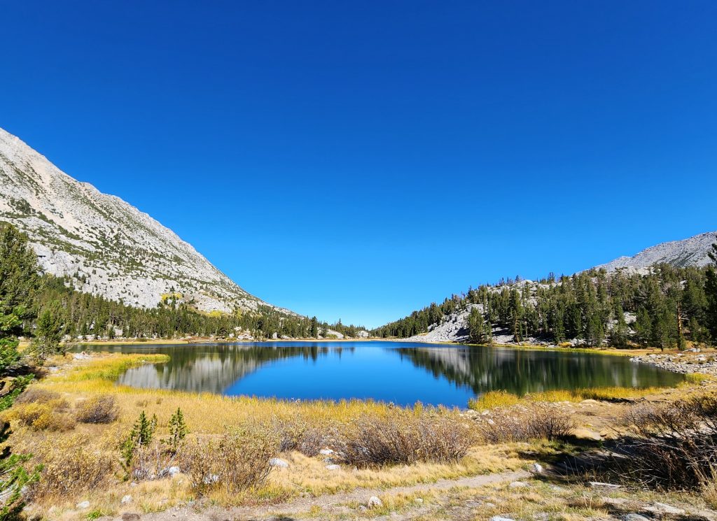
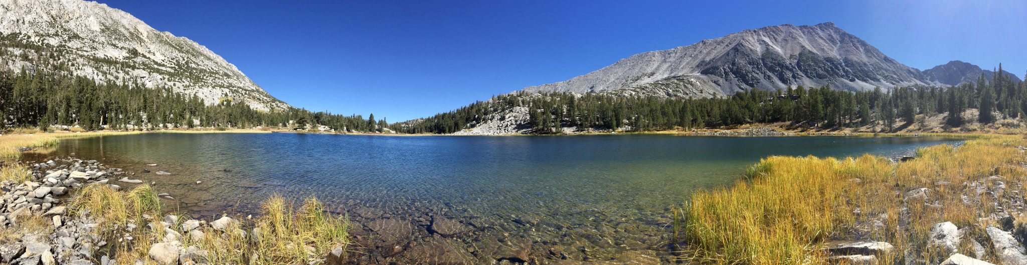
On our last full day at McGee Creek, we visited a place that I had heard about for our entire 33 years of marriage, but had never visited before (though Hank had hiked and backpacked in this area with friends before we were married). On this trip, we drove about nine miles up Rock Creek Canyon to the Mosquito Flats parking area, where we embarked on our 5.3-mile hike through the Little Lakes Valley. This gorgeous hike starts above 10,000 feet, and we traveled to about 10,575 feet, our highest hike of the trip. It’s a good thing we had several days to acclimate to these higher elevations.
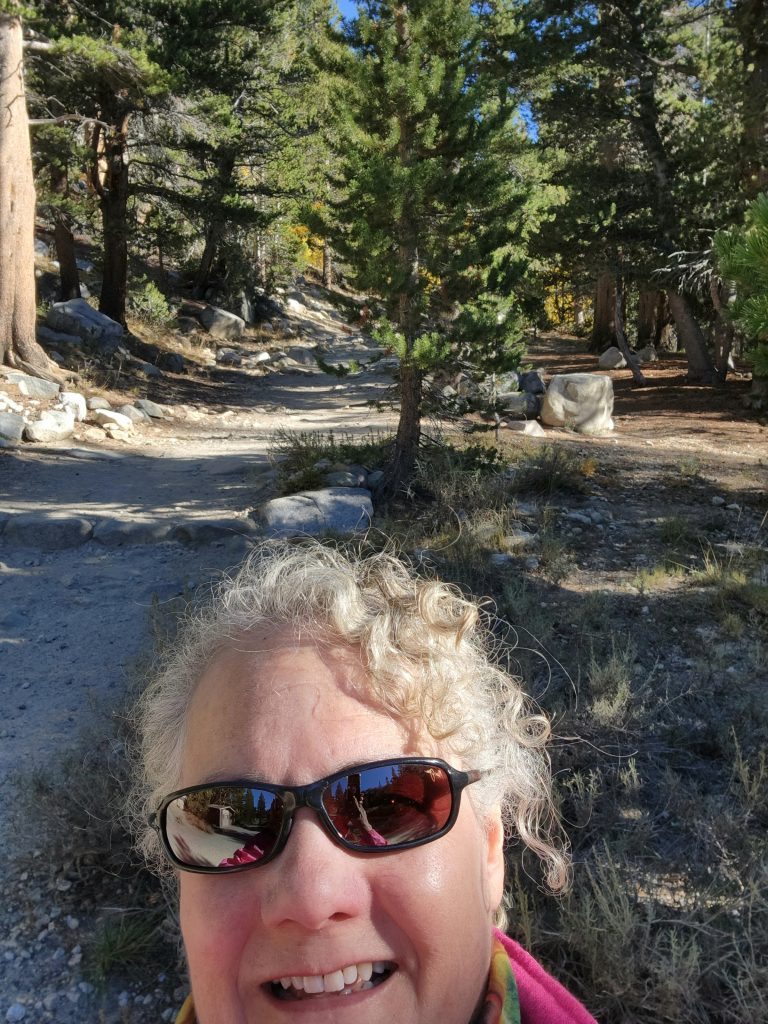
Starting our high hike through the Little Lakes Valley
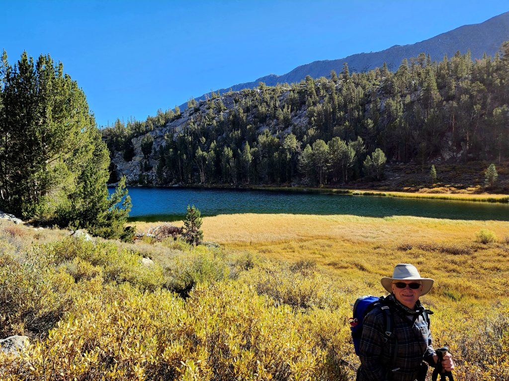
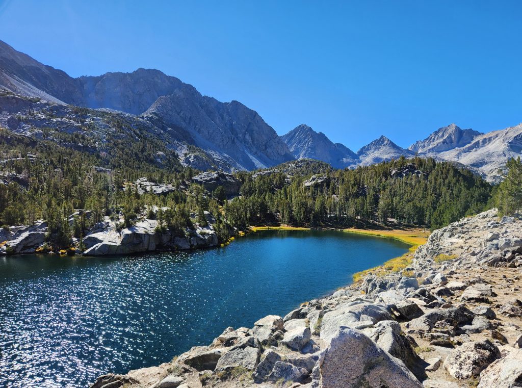
But what was truly remarkable about this hike through the Little Lakes Valley was the stunning lakes themselves: Mack, Marsh, Heart, Box, and Long Lake. Many hikers continue on to Chickenfoot Lake, or the Gem Lakes, but we decided that Long Lake was a worthy destination and a good early lunch spot.
Hank at Mack Lake
Box Lake
The view of Mt Abbot and friends from Long Lake
Heart Lake (though you can't see the heart from this direction)
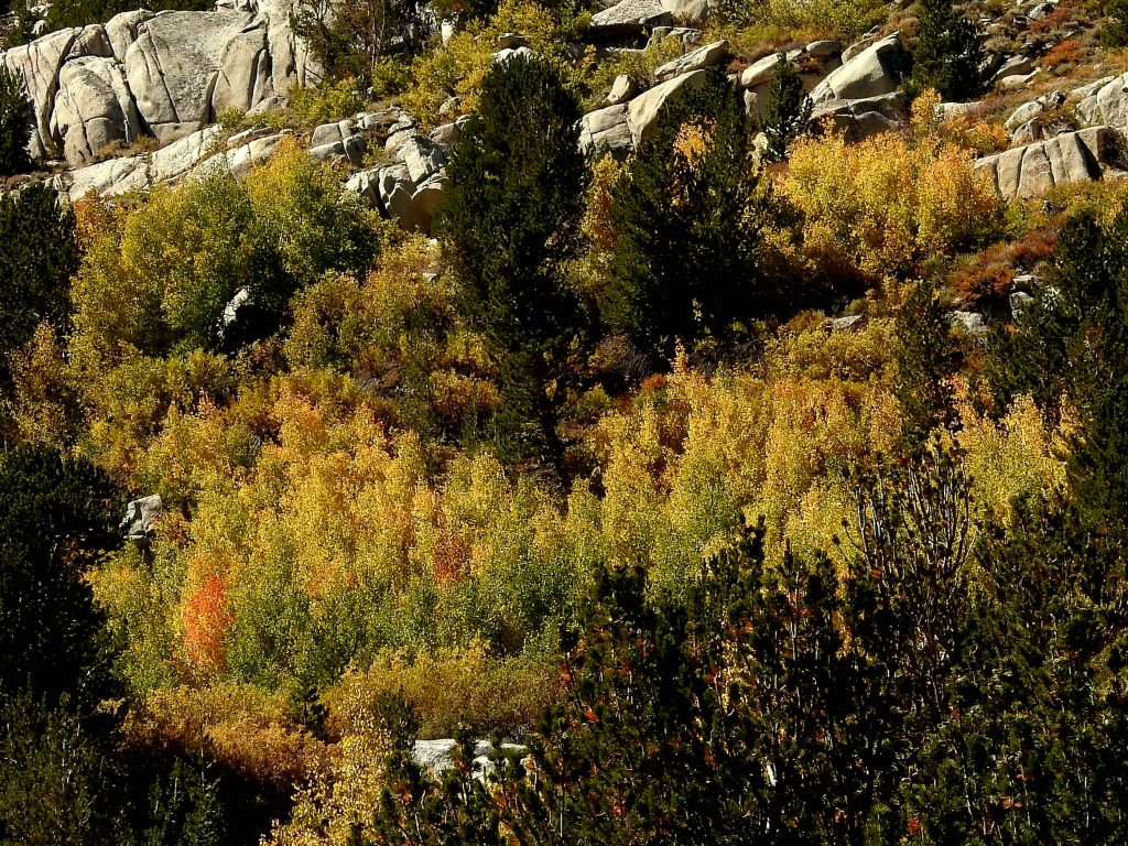
Not only are you treated to stunning views of the lakes, but you have huge, 13,000-foot mountains around you, including Mt. Abbot. And it was in this area that we saw the most fall foliage of the entire trip—huge sections of hillsides were turning yellow, orange, and even red in a few spots. One fellow hiker commented that the Little Lakes Valley hike is the prettiest hike in the Sierras, and we are inclined to agree, at least based on this experience.
We’re pretty sure that on the drive back down Rock Creek Canyon at the end of our hike, there were more aspen trees that had turned yellow than we had seen on the drive up that morning. That’s how quickly things can change in the Eastern Sierra.
This beautiful hike in the Little Lakes Valley was a great way to end our time in the Eastern Sierra. The next day we headed back to Lone Pine (see our previous post), and then headed home.
To close, here are a few more shots of the beautiful fall colors. As always, thanks for reading.
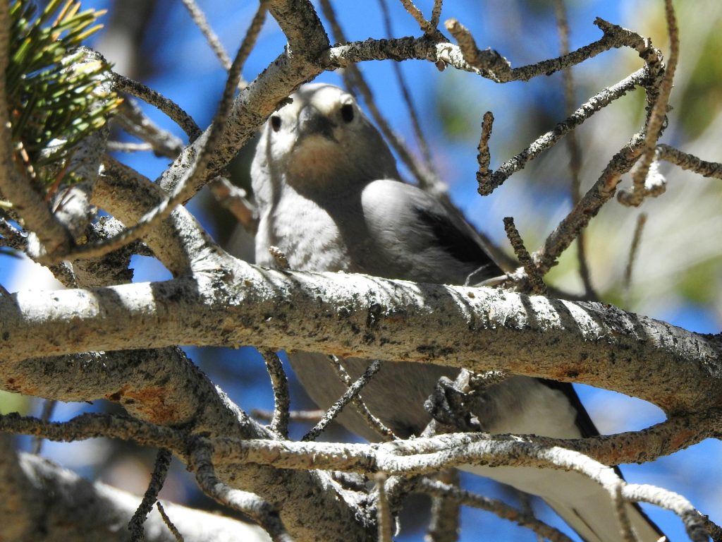
Clark's Nutcracker in Little Lakes Valley
Here is a 6 minute video summary of the the entire Eastern Sierra trip.
3 thoughts on “Eastern Sierra-Around Mammoth Lakes”
I truly love these posts! What wonderful adventures in such beautiful places. Thank you for taking us along.
GORGEOUS!!! This trip looks so incredible. Great weather, great hiking, great views! It looks so picturesque and calm. And you both look like you are really enjoying it.
A little jealous over here!
Thanks for posting & love, love the pics!!
Wonderful views and fond memories.
Thanks Cindy and Hank!