In this blog post, we will highlight our journey from the Kenai Peninsula to the Mat-Su Valley and on to Denali, where we spent several days.
To Alaska Part 8: From the Mat-Su Valley to Denali
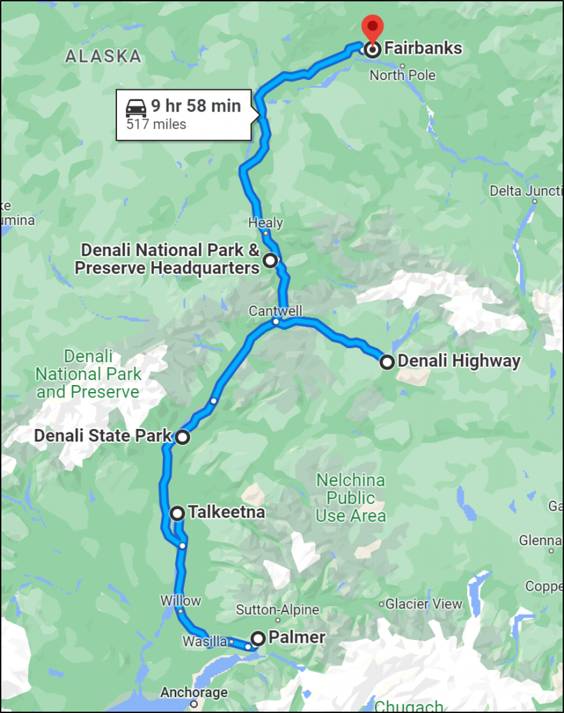
Day 45 We left the Kenai Peninsula today, driving back along the Sterling Highway, the Seward Highway, along Turnagain Arm, near Potter Marsh, through Anchorage, and we landed at our RV campground in Palmer in the Mat-Su Valley. The Mat-Su Valley (short for Matanuska-Susitna) is known for giant vegetables and the towns of Palmer, Wasilla, and Houston. A traditional home for several Native Alaskan bands, this area also was part of FDR’s New Deal plan. In 1935 during the Great Depression, several hundred families were relocated from Minnesota, Wisconsin, and Michigan to see if they could establish an agricultural center in this part of Alaska. The Matanuska Valley Colony was uneven in terms of its success, but from that tenuous beginning, this area became a key part of producing food in Alaska. While we were too early in the summer to see the 100-pound cabbages, we enjoyed exploring the valleys and surrounding mountains of this area north of Anchorage.
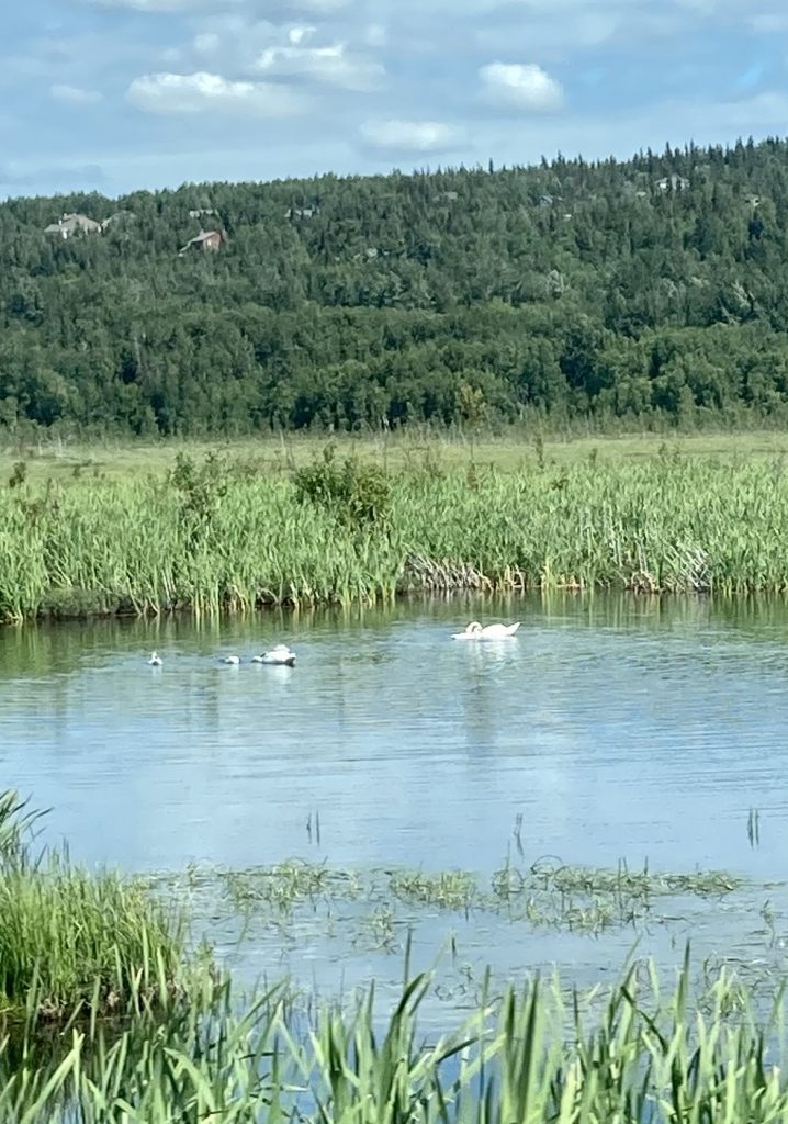
Trumpeter swans along our drive (Judy's photo)
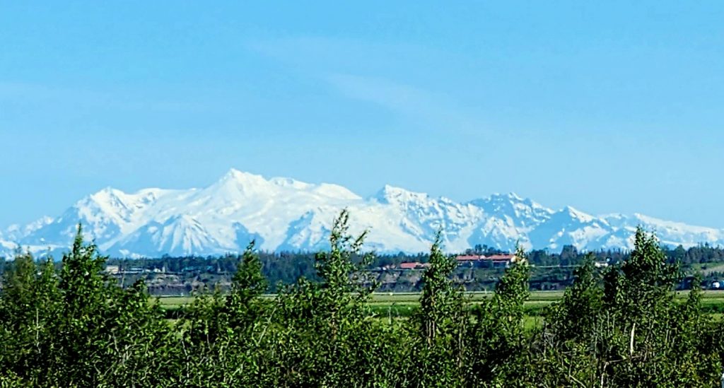
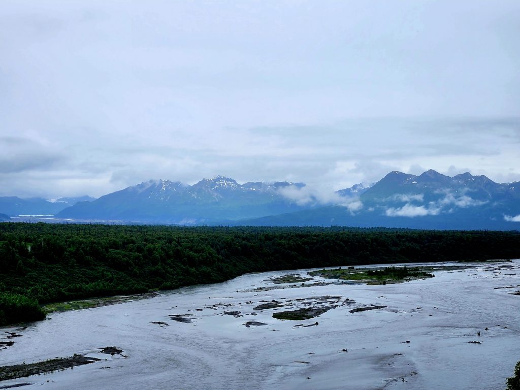
A view of the Alaska Range (possibly including Denali) as we drove today
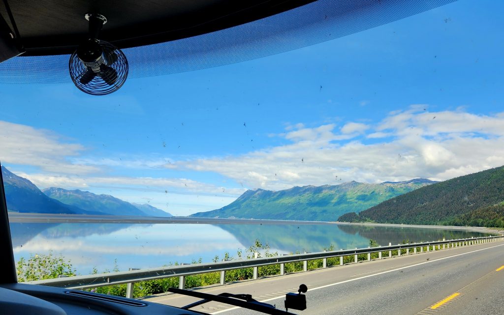
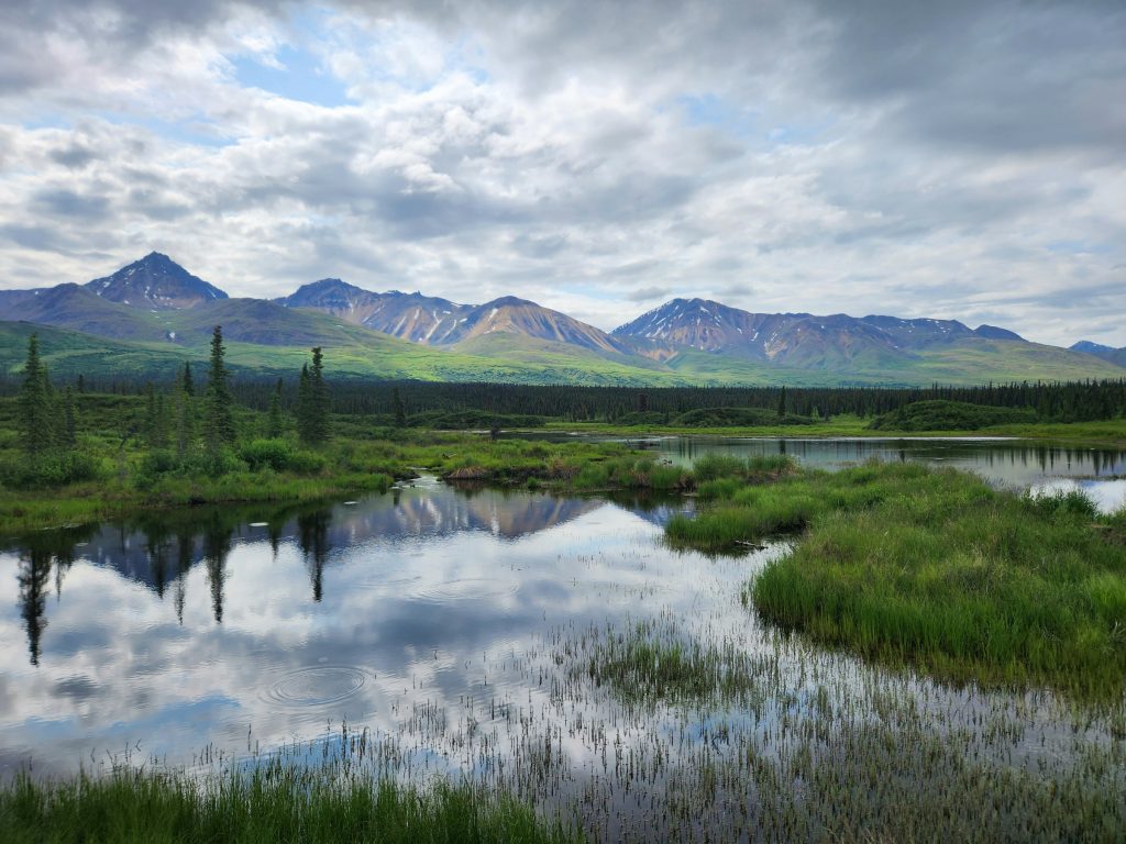
Beautiful reflection of the mountains in Cook Inlet
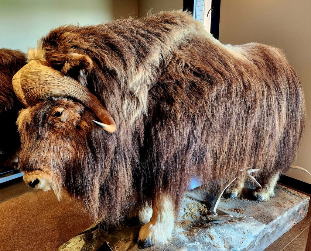
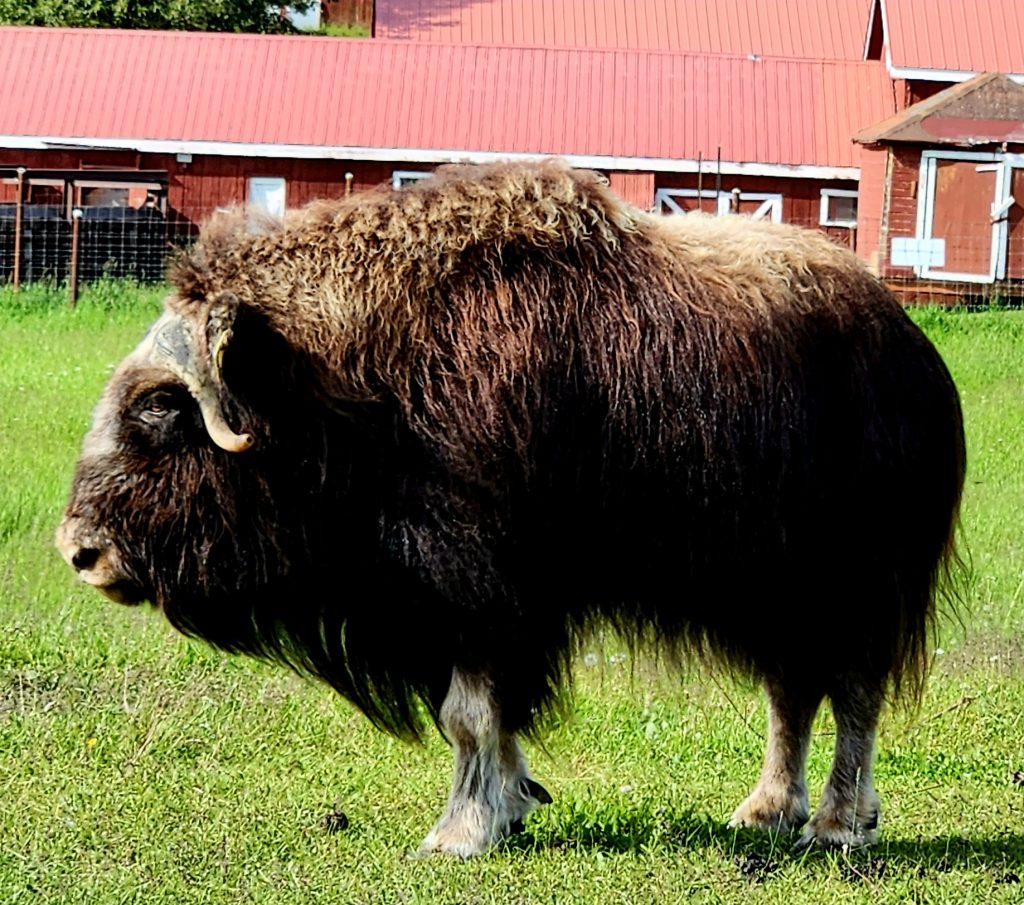
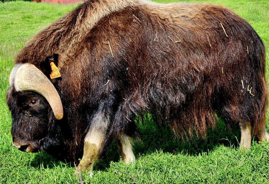
After getting settled, we headed to the Musk Ox Farm near our campground, where they have raised, bred, and cared for musk oxen for over 60 years. These animals are not actually oxen and do not produce musk. They are most closely related to mountain goats. The musk ox has been around since the Ice Age, but was hunted to extinction in Alaska and then reintroduced (from a population in Greenland) in the 1930s. No longer endangered, there are about 5,000 musk oxen in Alaska, and this farm has about 76 animals. To help support this non-profit organization, workers collect and sell the animal’s wool, called qiviut (kiv-ee-yoot), which many consider the finest wool in the world.
Musk ox on display
A female poses for us
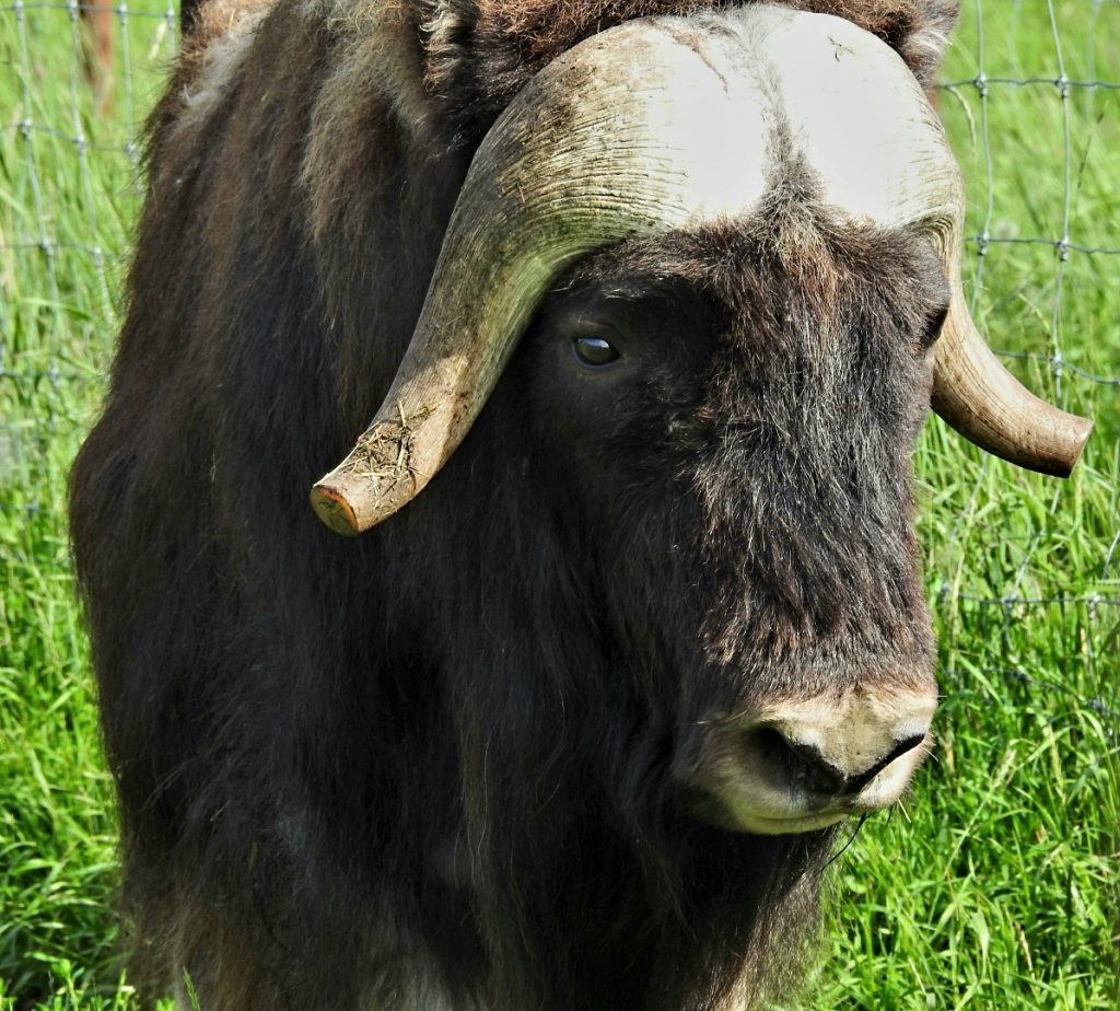
Alex Trebek, former host of Jeopardy!, considered the musk ox his favorite animal. In his book, Alex described how the male musk oxen, when threatened by predators, will circle around the young oxen facing out. As long as the adult males maintain a tight circle, predators are not able to break through and attack their young.
On our educational one-hour tour, we got to meet several musk oxen, including a male named Trebek. How fitting!
A young male named Trebek
Trebek in profile
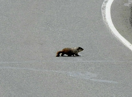
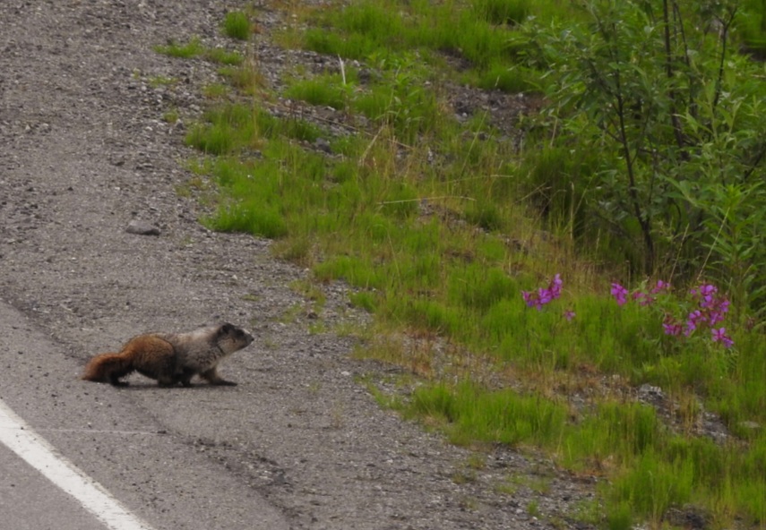
Day 46 With a bit of warmth and sunshine in the air, we drove up to Hatcher Pass, and on the way we met a couple of hoary marmots using the road as an easy trail.
Hoary marmot crosses the road
Made it
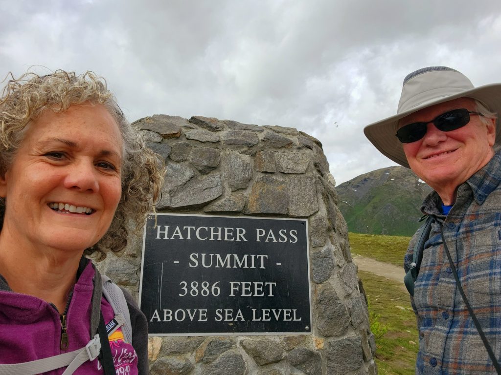
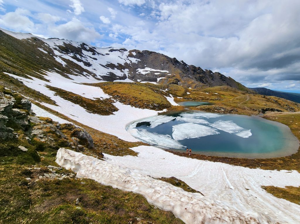
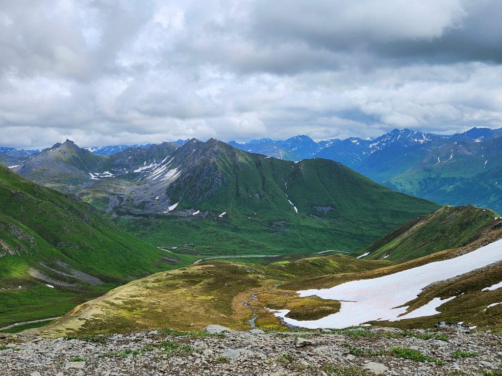
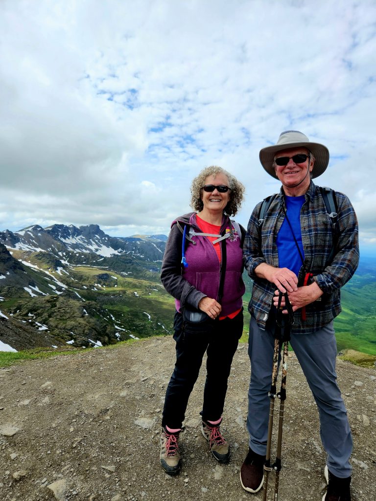
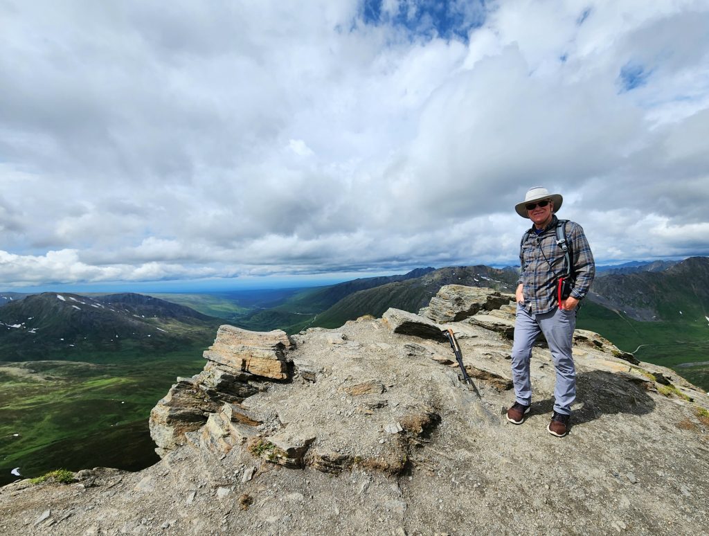
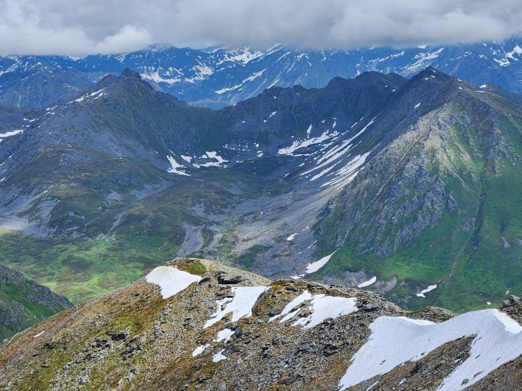
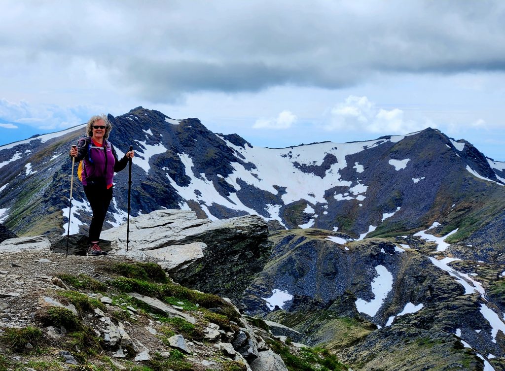
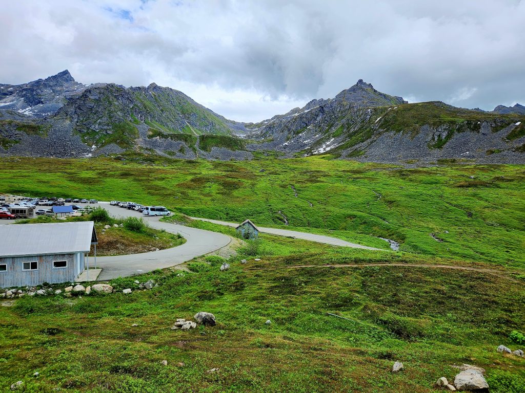
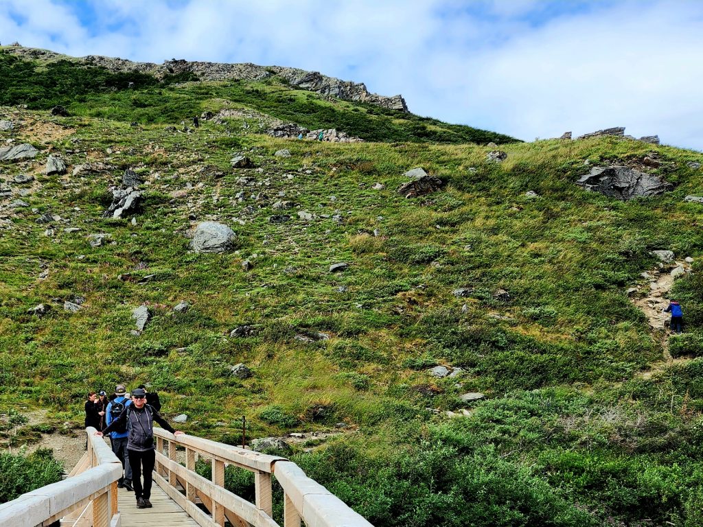
Hatcher Pass is famous for its beauty and its many hikes among the peaks. We did one of the easier hikes, the 2 ½-mile April Bowl Hike to Hatch Peak and back. While quite short, it was also very steep and even had snow in a couple of places.
We enjoyed gorgeous views on the way and at the top, and we felt like we had gotten a workout because of the steepness of the hike. This was a hike for which we really needed our hiking poles!
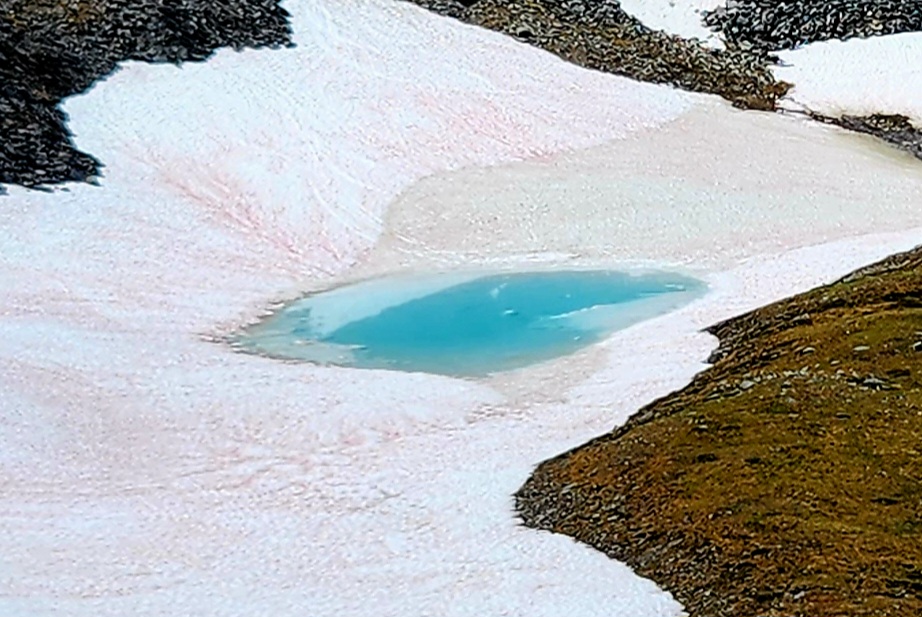
This little lake still has ice on it!
One of many beautiful views near Hatcher Pass
On top of Hatch Peak
The view from Hatch Peak
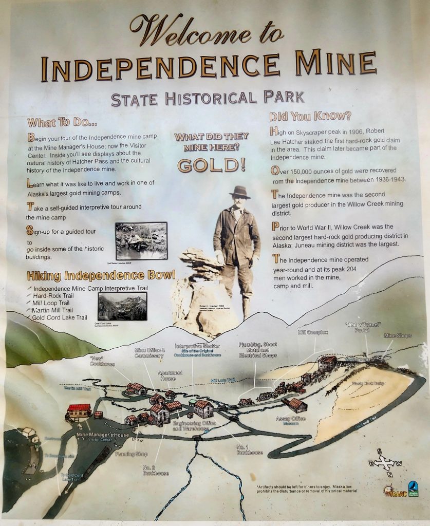
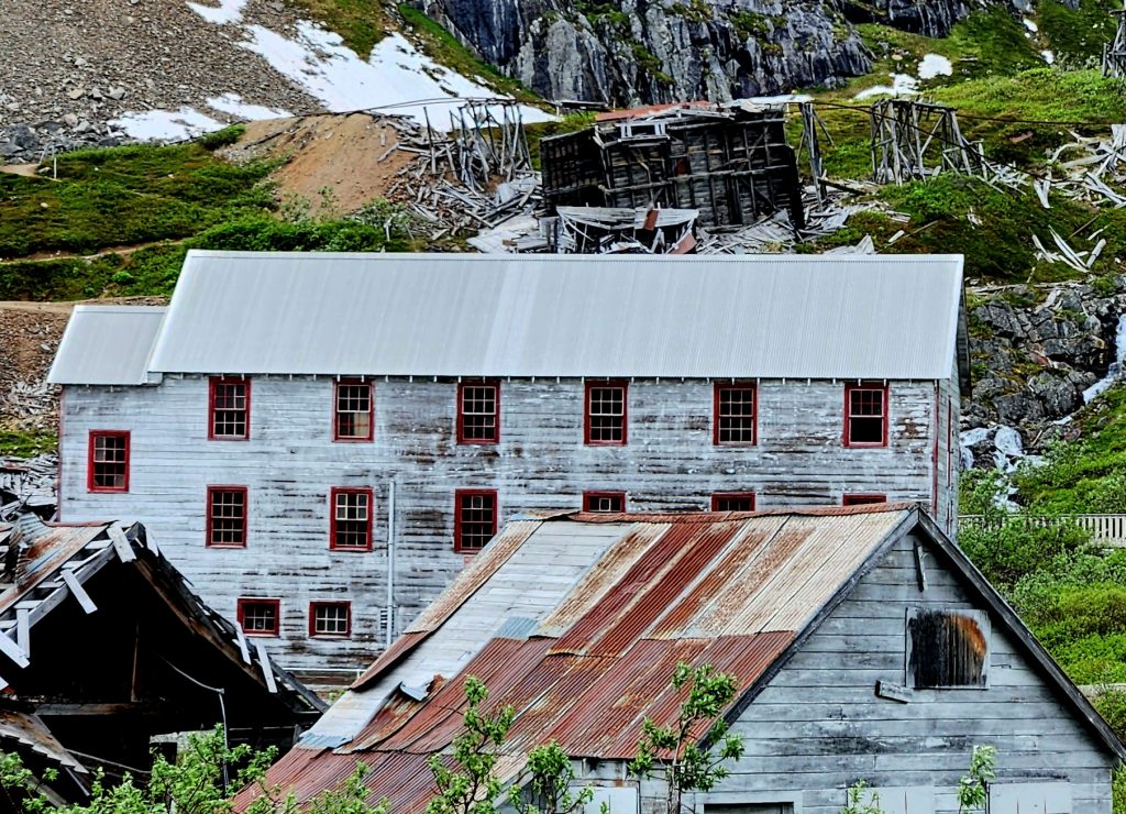
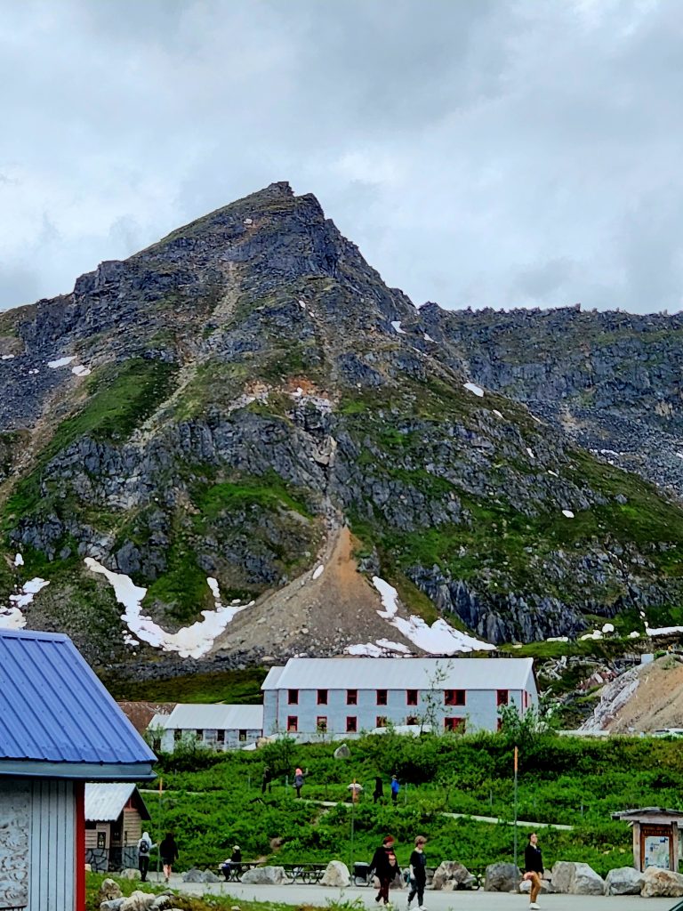
We then drove to the Independence Mine State Historical Park and enjoyed exploring these mine buildings in various states of renovation and disintegration. The Independence Mine was a gold mine that operated in the early 20th century until it cost more to extract the gold than the gold was worth. You can still pan for gold in the area, if you are so inclined!
Buildings falling apart
The view from Independence Mine
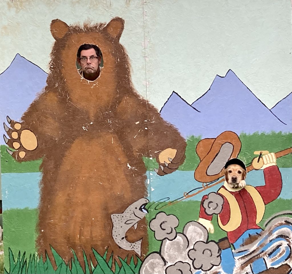
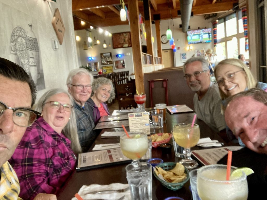
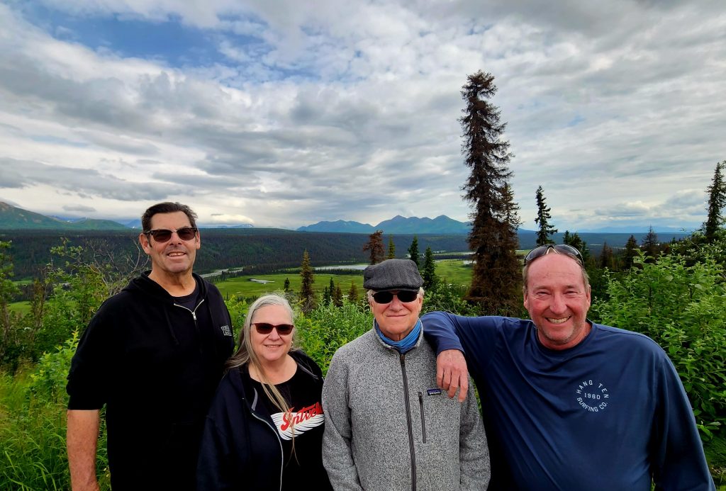
While we were hiking, Allyn and Blazer were posing. Dinner with the Alaska 7 at a Mexican restaurant, followed by drinks around the campfire, completed our day.
Where's Allyn? Where's Blazer? (Judy's photo)
Allyn's photo of the group
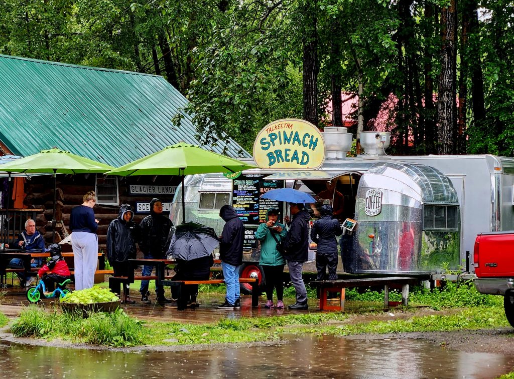
Day 47 It rained all night and all day, but we broke camp and began our relatively short RV drive, heading northwest toward Denali. Halfway to Denali State Park, we took the Talkeetna Spur Road and explored the little tourist town of Talkeetna. Famous for its spinach bread and lots of shops with Native Alaskan arts and crafts, Talkeetna is a popular place with tourists, even in the rain. Normally it has great views of Denali, but no such luck today.
Lunch at Denali Brewing Company
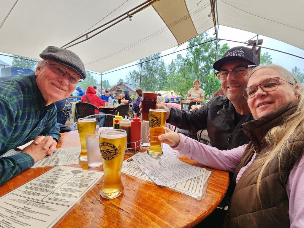
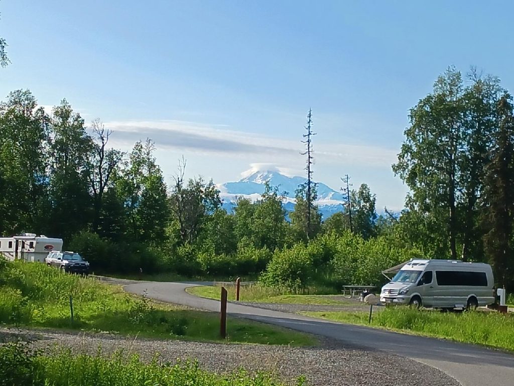
After exploring the two blocks that make up the main section of the town, we enjoyed lunch at the Denali Brewing Company, then continued our drive (still in the rain) to the K’esugi Ken Campground in Denali State Park. This park is located south of Denali National Park, and when it’s clear, you can supposedly get great views of Denali from here. The campground is not named for a person, but the name means “Base of the Ancient One” in the Athabascan language, referring to the ridge between two major rivers.
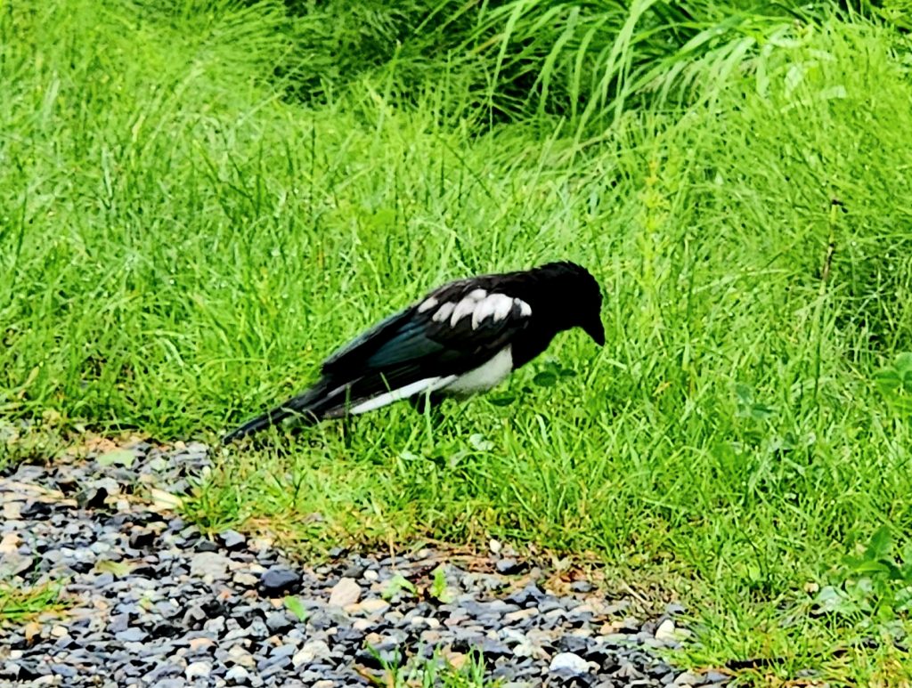
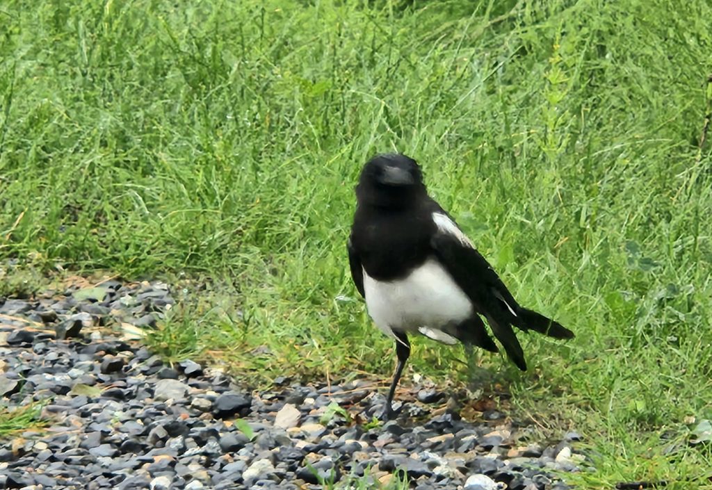
Black-billed magpies were our only wildlife sightings this evening.
Day 48 More rain! It’s been a very wet summer (even the Alaskans tell us that), in contrast to much of the Southwest U.S., which is currently sizzling. But it finally cleared to just a drizzle, so we walked the Moose Flats Loop Trail from the state park campground, a bit buggy, but otherwise nice. And we drove down to Denali Viewpoint South to see if we could get a glimpse of the mountain. The hike to the lookout was short and sweet, but Denali did not reveal itself.
We know Denali is back there but we can't see it!
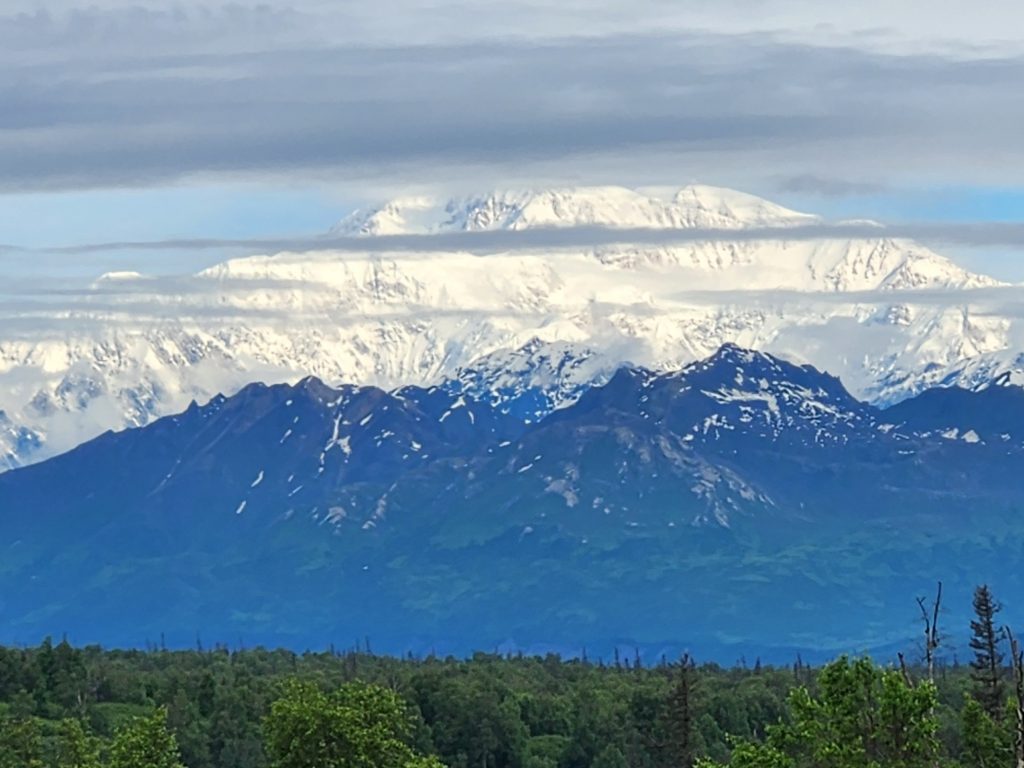
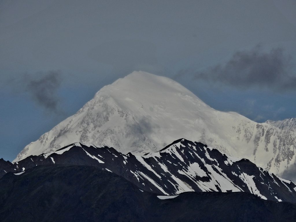
Day 49 We woke up to some blue sky and a beautiful view of Denali! As we headed to our next campground, we stopped back at Denali Viewpoint South for beautiful shots of the mountain. We stopped again at the Denali Viewpoint North for a slightly different view, this time with Denali’s peak completely uncovered.
Denali from the South Viewpoint, only 40 miles away as the crow flies
And from the North Viewpoint--we can see the peak!
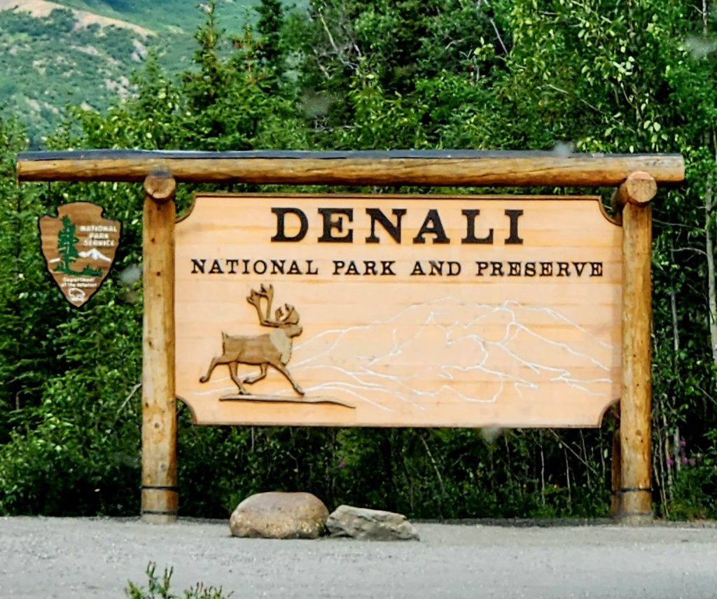
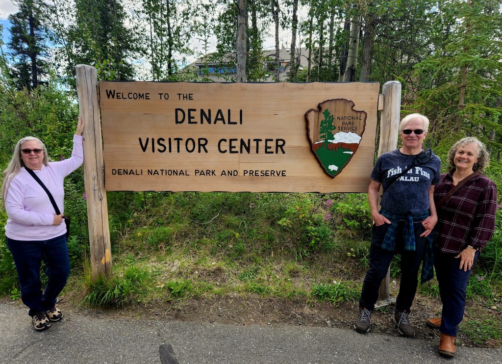
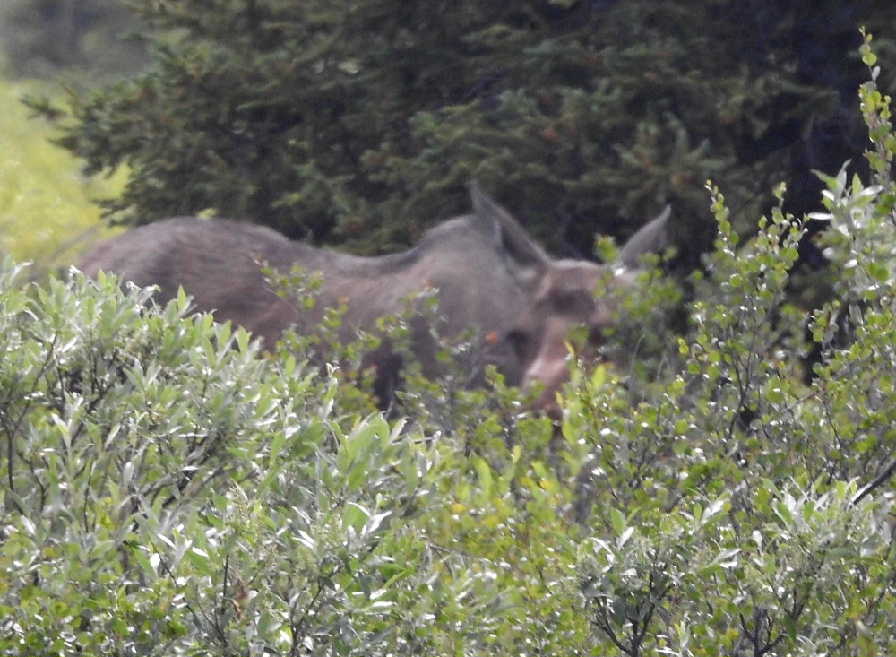
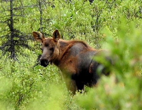
Once we got to Denali National Park, we checked in to the Riley Creek Campground, stopped at the visitor center, and then drove as far into the park as you’re allowed to take a private vehicle (Mile 14.8). We spotted a moose along the road and enjoyed being in the national park (our 54th out of 63!), but we did not see another view of Denali today.
A female moose--our first wildlife sighting in Denali
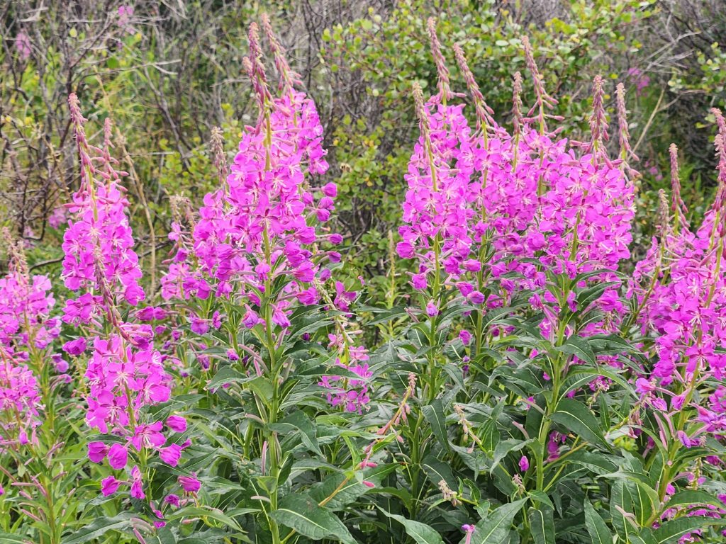
Fireweed is gorgeous all over the park!
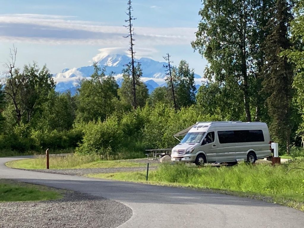
Back in Denali State Park, Ron, June, and Tom also had some great views of Denali—from their actual campsites (see their photos below).
Ron's photo of their van with Denali in the background
Tom's photo of both his and Ron/June's RV--with Denali again in the background
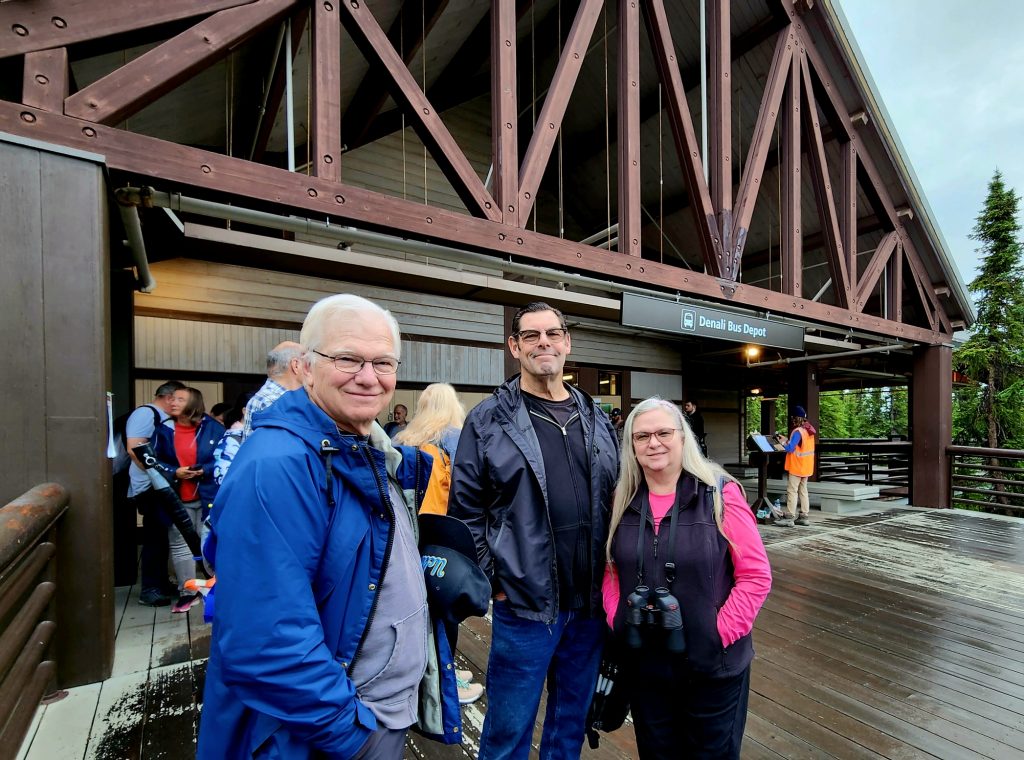
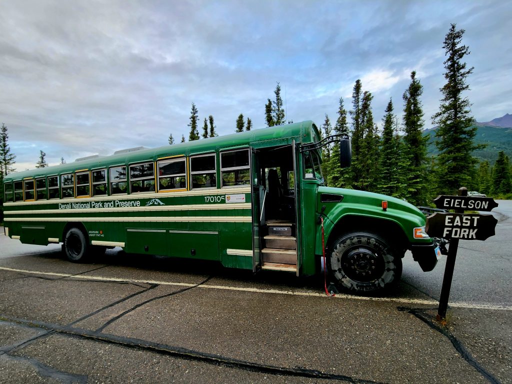
Day 50 We got up early to catch our 7:00 a.m. Denali National Park transit bus that would take us as far into the park as you can currently go. Normally, that would be 92 miles to the end of the road, passing Wonder Lake and ending at Kantishna, but because of a landslide/rock glacier where the earth shifted and dropped the road about 50 feet, the buses can only go to Mile 43 before they turn around at the East Fork Bridge. The contractor won’t finish the new bridge and reopen the road all the way until at least 2026.
These green converted schoolbuses have been used for transporting visitors along the Denali Park Road for decades.
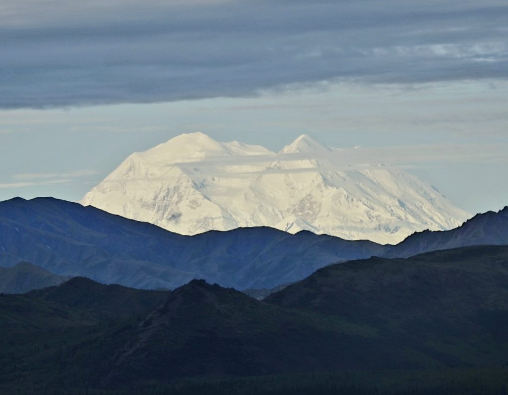
Nevertheless, we got a wonderful bus tour from our driver Bear, who stopped along the road for wildlife and scenery. And this morning Denali was showing off—very beautiful, and giving us a different angle from what we had seen driving up the day before. We learned that we are now members of the 30% Club, because only about 30% of visitors to the national park actually see any part of Denali. And we are even members of the 10% Club because only about 10% of those who see a part of Denali actually see its peak, which was clearly visible this morning! It’s a different angle from the one we saw near the state park. Fun to see the mountain from more than one side!
A view of Denali about 70 miles away
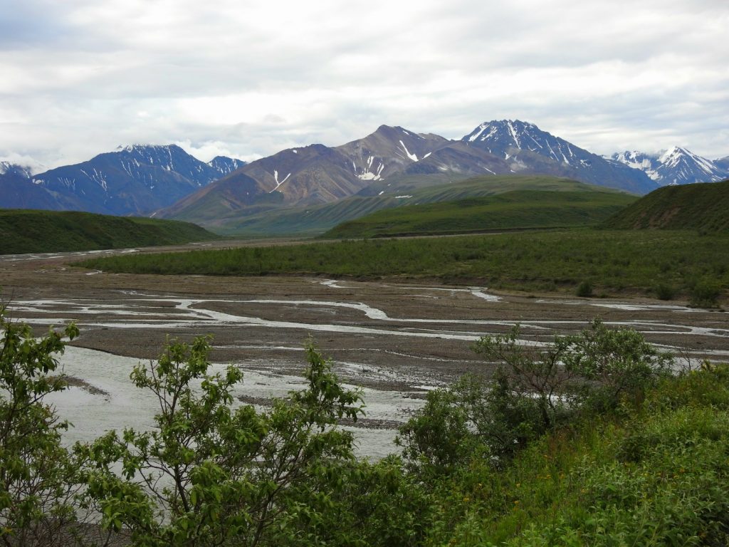
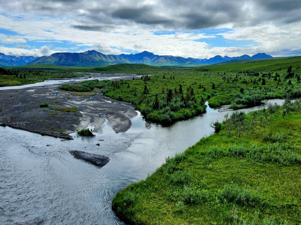
A view of the Teklanika River, which is one of many braided rivers in Alaska (with multiple streams along a wide riverbed)
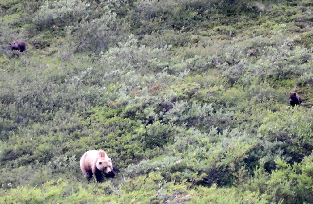
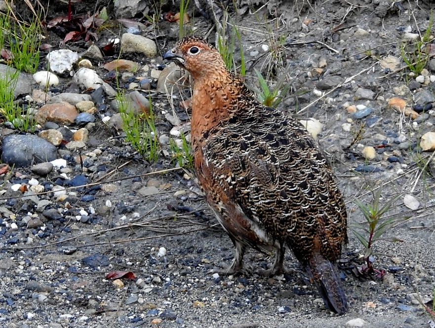
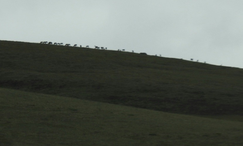
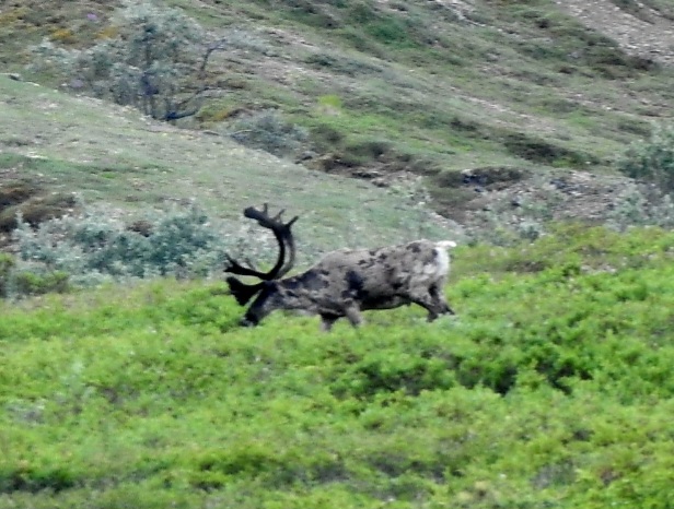
We also saw a mama grizzly with her three cubs (quite far in the distance, so the pictures aren’t great), and a herd of caribou (at long last). Again, the caribou were a long ways away, so the pictures aren’t great, but this was definitely one of the animals I was hoping to see in the wild. Yay! And ptarmigan, the state bird of Alaska, also made an appearance. (Most people claim that the mosquito is the state bird of Alaska, but that’s a whole other story!😊)
Mama grizzly with 2 cubs visible
A couple of ptarmigan greeted us along the road.
Those little sticks at the top of the hill are caribou!
A male caribou got close enough for a little better shot.
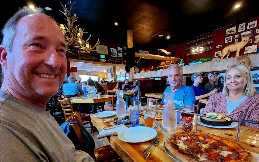
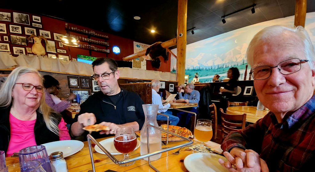
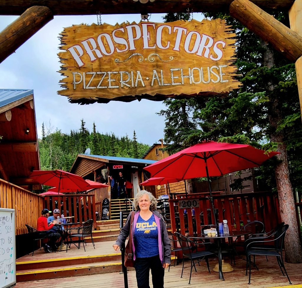
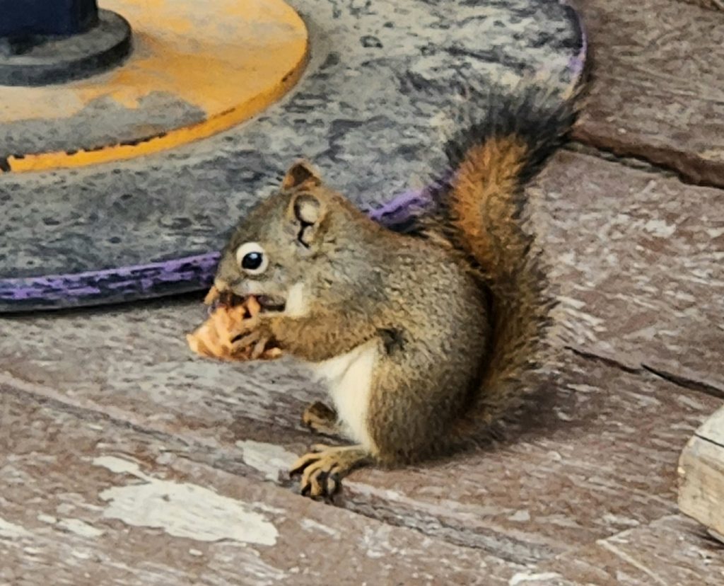
Ron, June, and Tom arrived this afternoon (they were a day behind us at the state park and here in the national park), so we enjoyed a reuniting dinner together at Prospectors. A squirrel entertained us by eating its own ice cream cone!
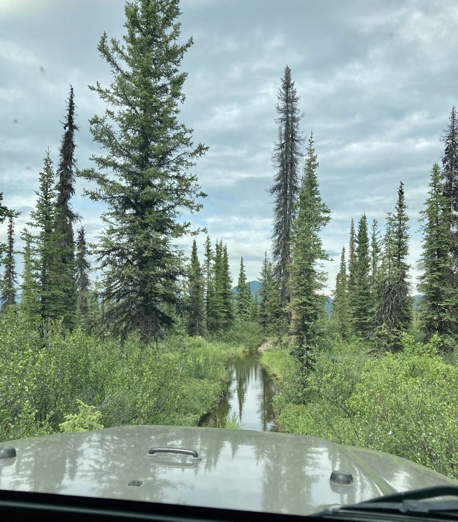
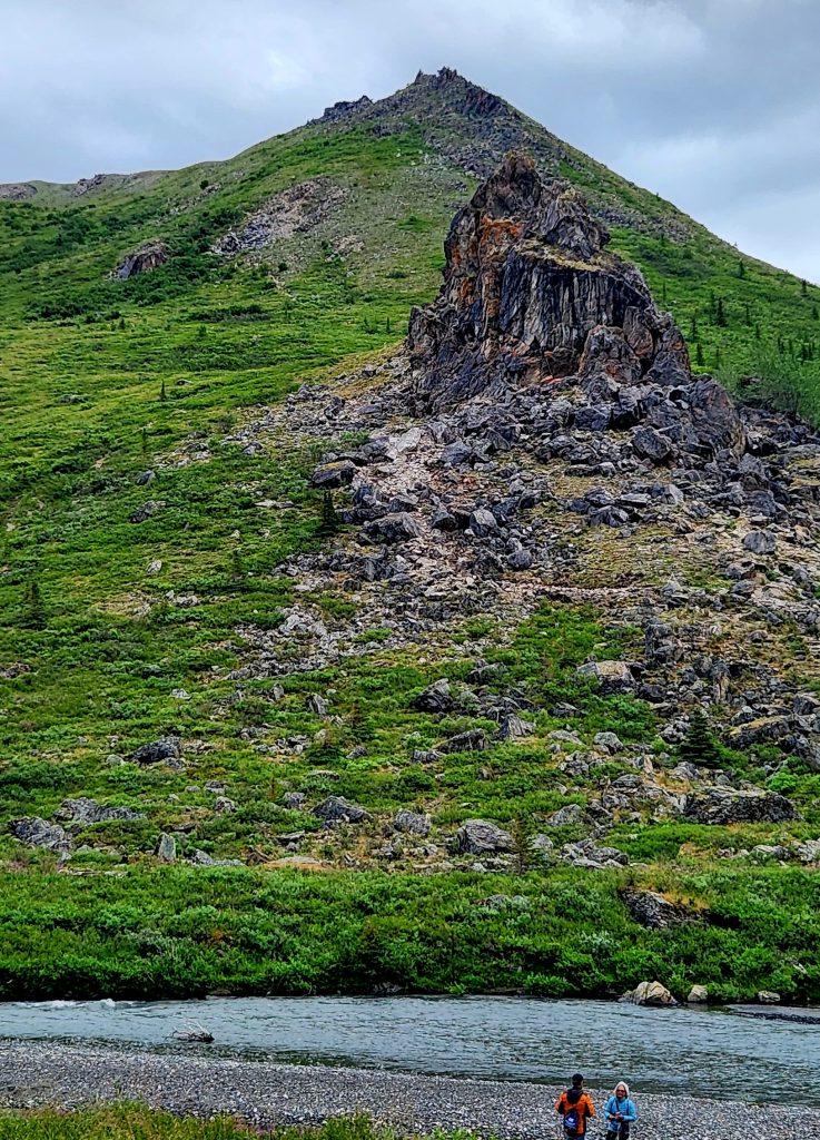
Day 51 Today’s agenda was driving a portion of the Denali Highway. This unpaved road about 30 miles south of the national park is known for beautiful views of the mountain as well as good wildlife viewing. We hopped in the Jeep with Allyn and Judy, and Tom drove his 4-Runner with his dogs for company.
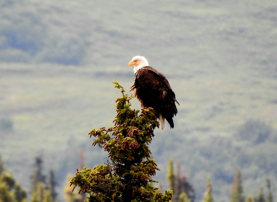
We didn’t have views of Denali today because there were too many clouds. But we did stop to see a beaver dam and a couple of bald eagles near the pond that the beavers created.
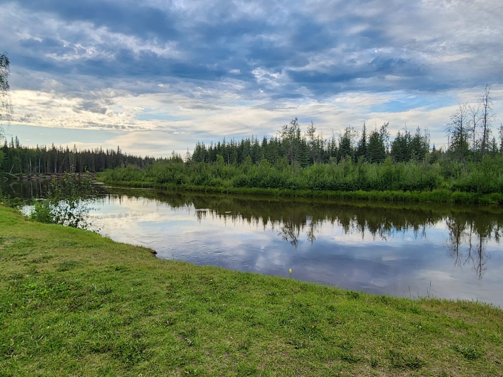
A beaver dam created this beautiful pond that gave us a great reflection of the Talkeetna Mountains.
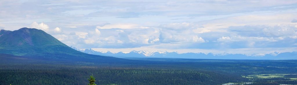
Along the way, we enjoyed lovely views of the Talkeetna Mountains and the Alaska Range.
Enjoying the view
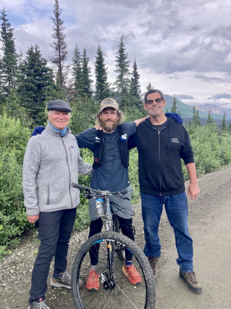
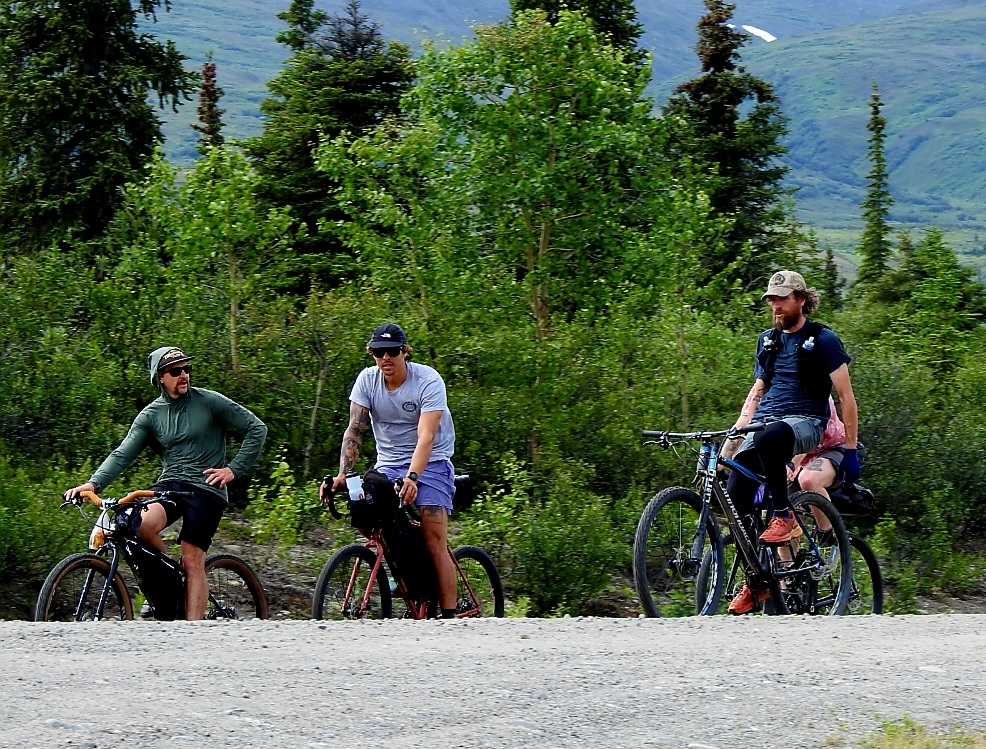
One total surprise was encountering Jesse from the National Geographic program, Life Below Zero. People like Jesse that we had seen living off the land in Alaska were part of what inspired us to take this trip. We knew Jesse had moved to the Brushkana Creek area, but we didn’t expect to encounter him on a bike ride with friends along the Denali Highway. He graciously posed for a picture with Allyn and Hank. Later on, he rode past us when we stopped for a view.
Jesse poses with Hank and Allyn
Jesse and friends bike the Denali Highway.
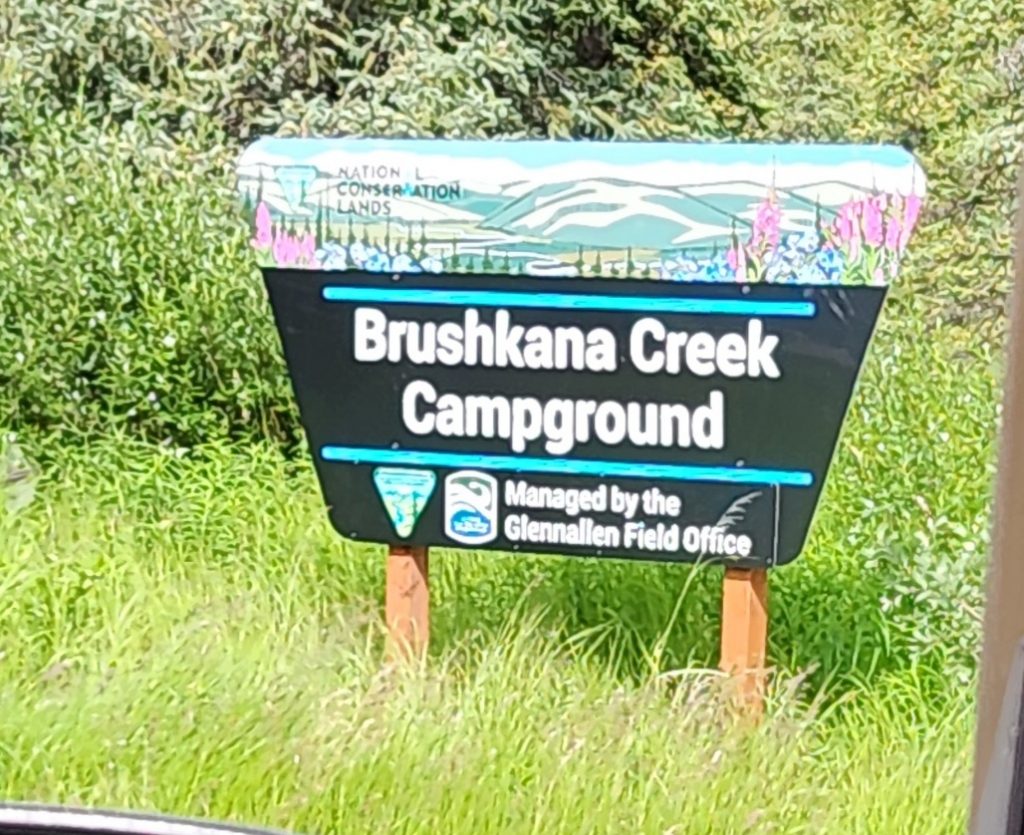
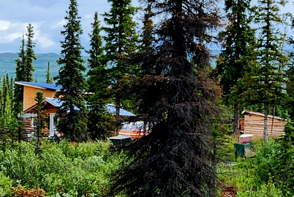
And when we pulled into the Brushkana Creek Campground, we discovered Jesse’s house and other buildings were visible on the other side of the creek. We turned into paparazzi or stalkers for a few minutes. It was fun to discover one of the people featured on a TV show that the four of us had watched for several years.
Jesse's complex from "Life Below Zero"
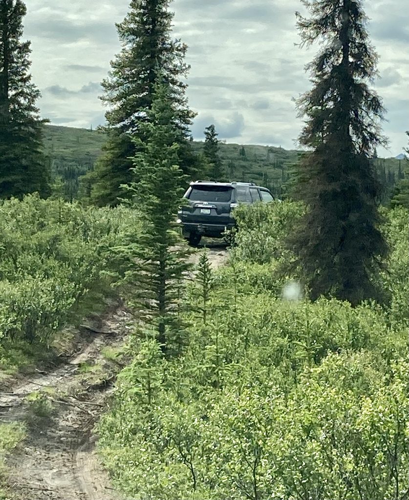
We also got to do a bit of off-roading today, much to the delight of Allyn and Tom, who could practice their 4-wheel-drive techniques.
Tom's 4-Runner gets a workout.
Allyn decided this was a good place to turn around.
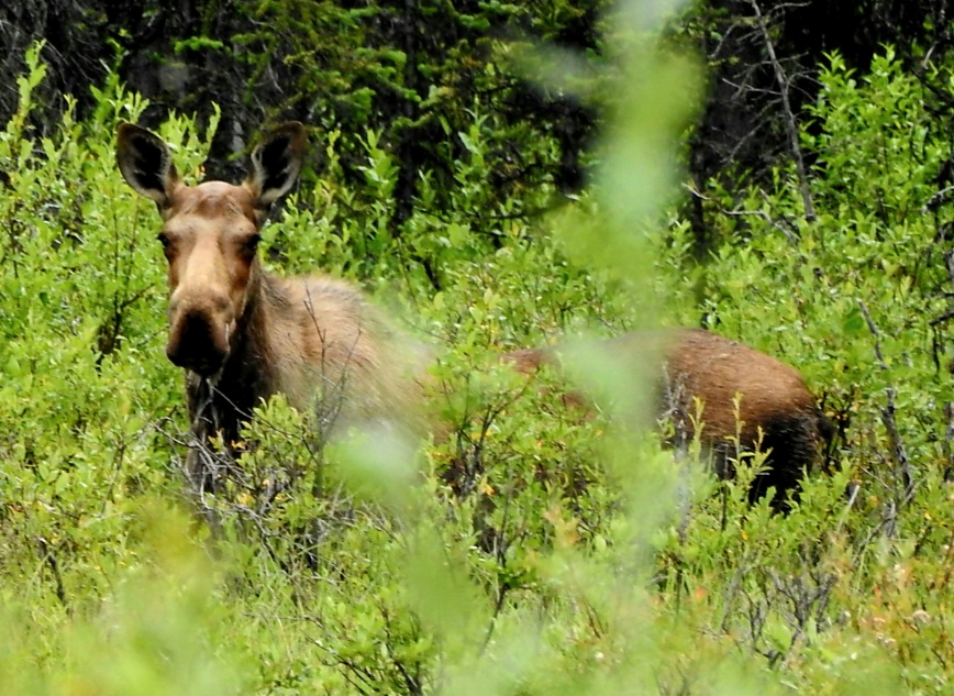
And on the way home, we encountered a couple of mama moose and their calves. The mamas kept a wary eye on us, and the calves were barely visible, but it was a great treat nonetheless.
Mama #1 with baby behind her
Mama #2--her baby was behind branches
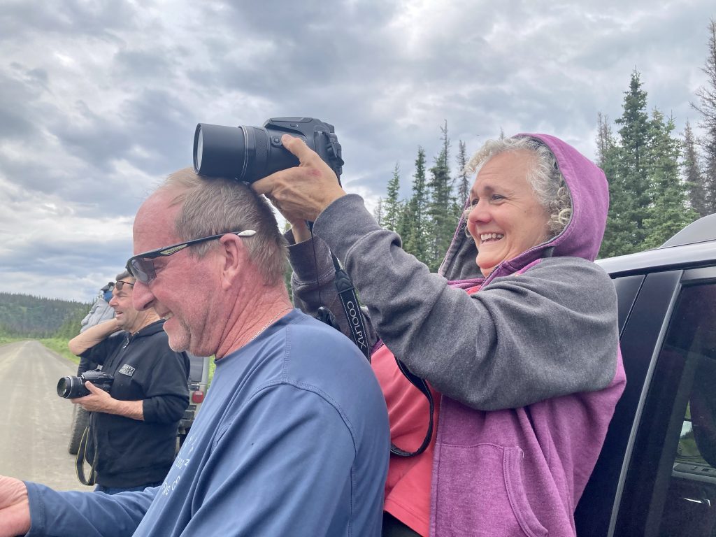
Cindy uses Tom as a tripod for shooting pictures of the moose.
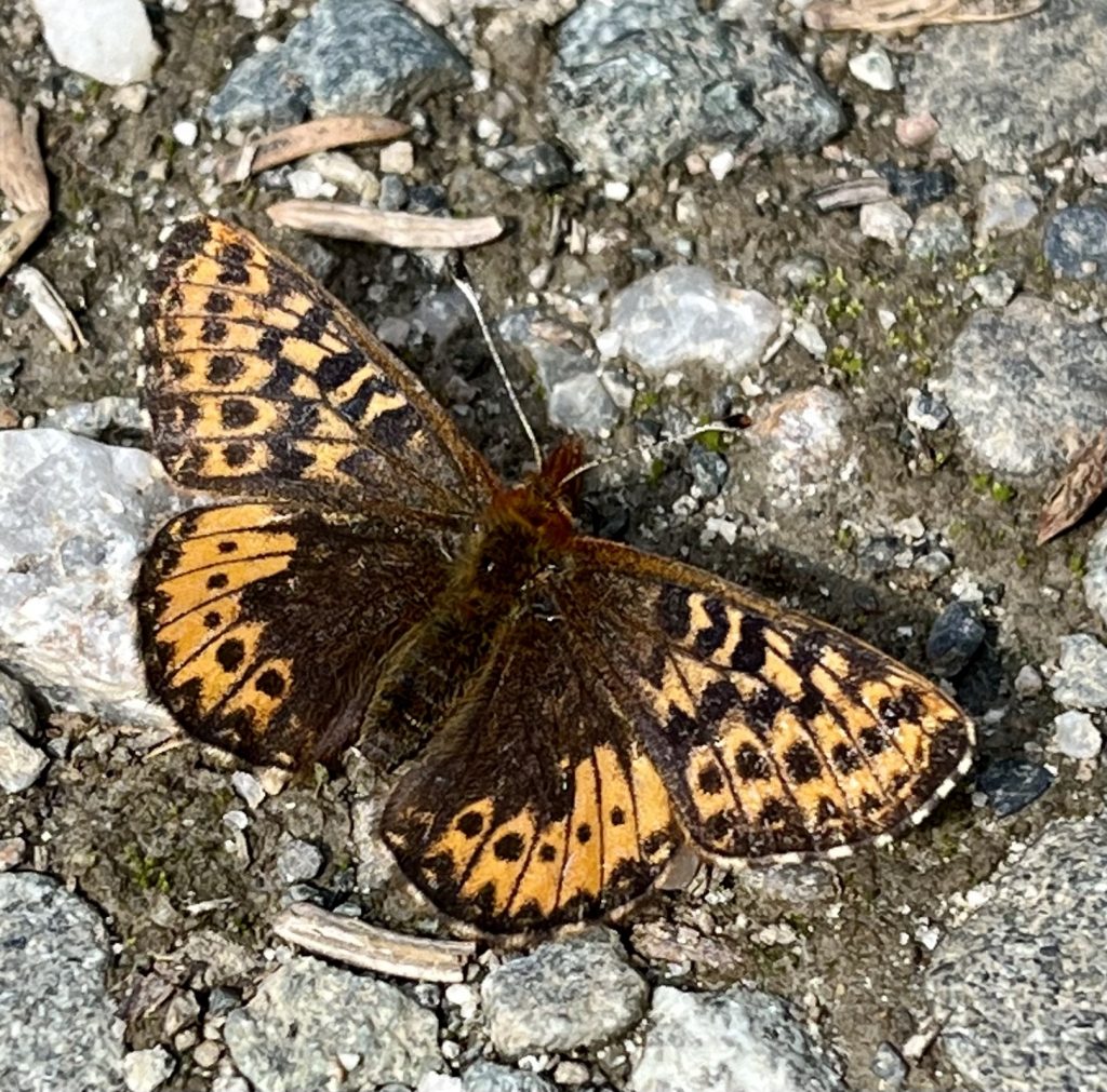
An Arctic fritillary butterfly on the Denali Highway
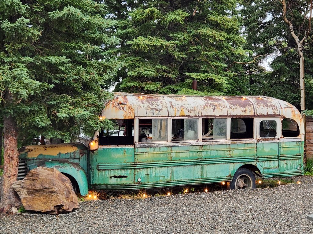
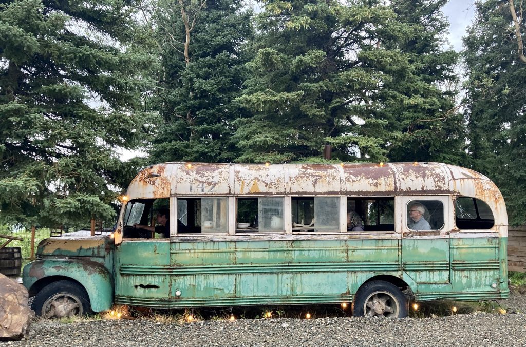
This restaurant also hosts the replica bus used in the filming of Into the Wild, the adaptation of Jon Krakauer’s book about the young man who tried to survive alone in the Alaska wilderness, not far from Healy. It’s a sad story and a cautionary tale. We had all either read the book or seen the movie, so it was meaningful to be reminded of that tragedy and contemplate how well we would have survived in the Alaska wilderness alone.
Where's Allyn? Where's Cindy? Where's Hank?
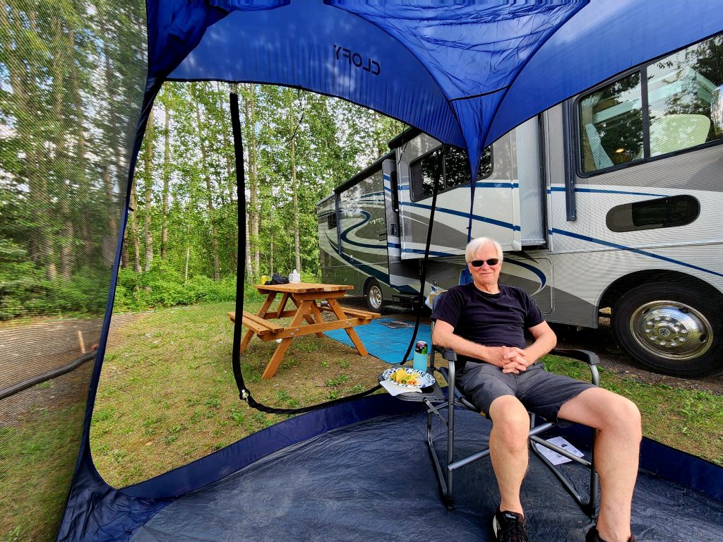
It had been a long day, so we were pretty tuckered out by the time we got back to the RV!
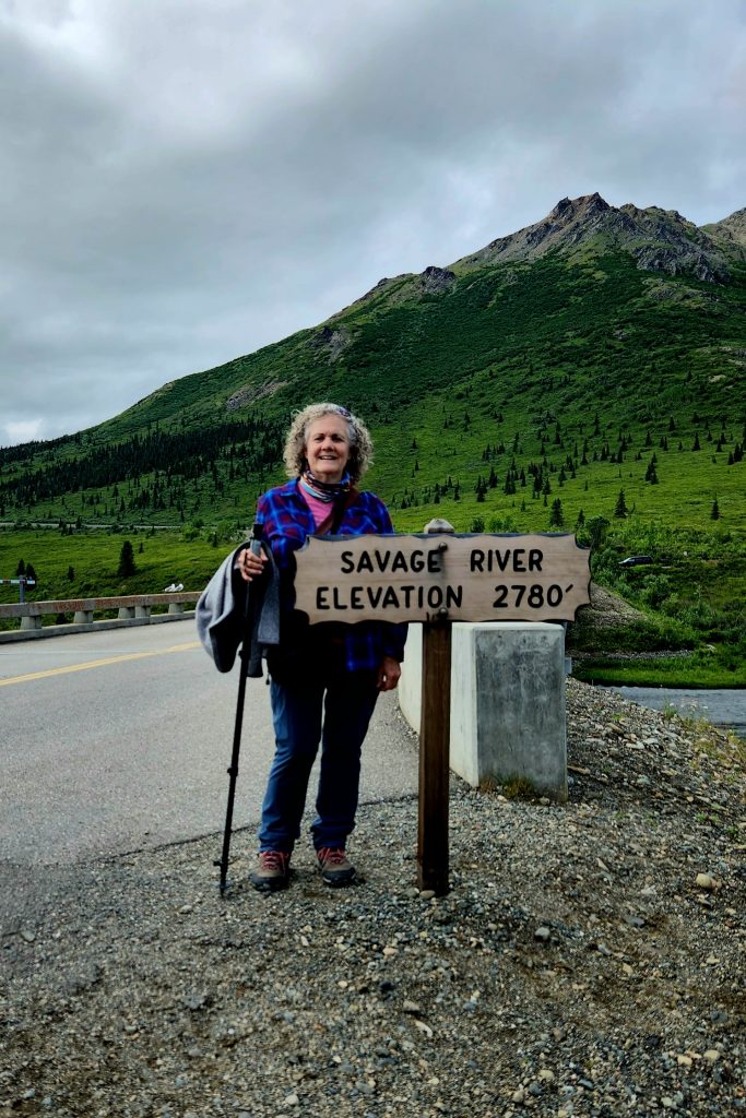
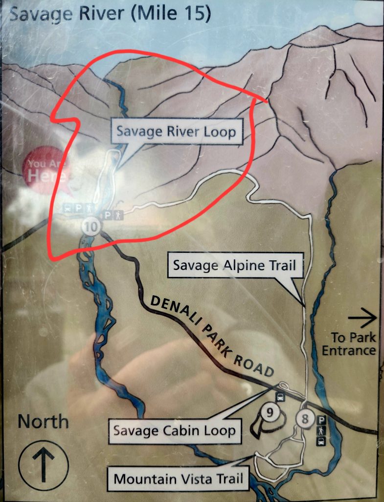
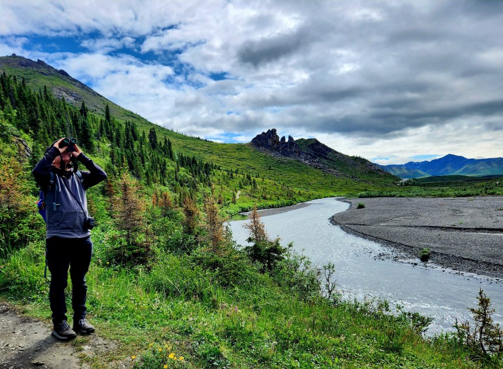
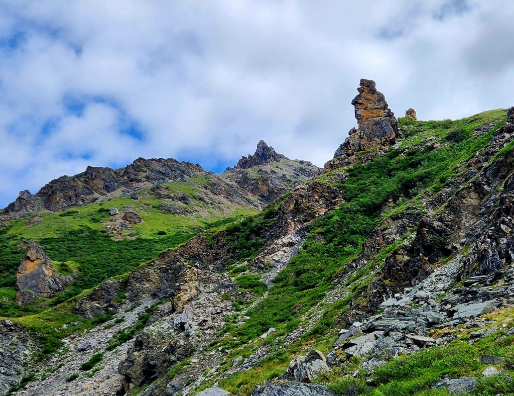
Day 52 Hank woke up with a cold this morning, so we took it easy. This afternoon the two of us drove further into the national park on the Denali Park Road (the first 15 miles that private vehicles are allowed on), parked the car at the Savage River Bridge, and did a short, easy hike—the Savage River Loop Trail.
Hank on the hunt for Dall sheep
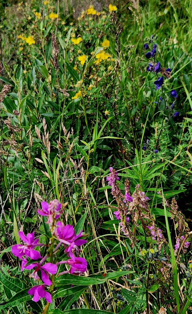
The purple, pink and yellow wildflowers were spectacular!
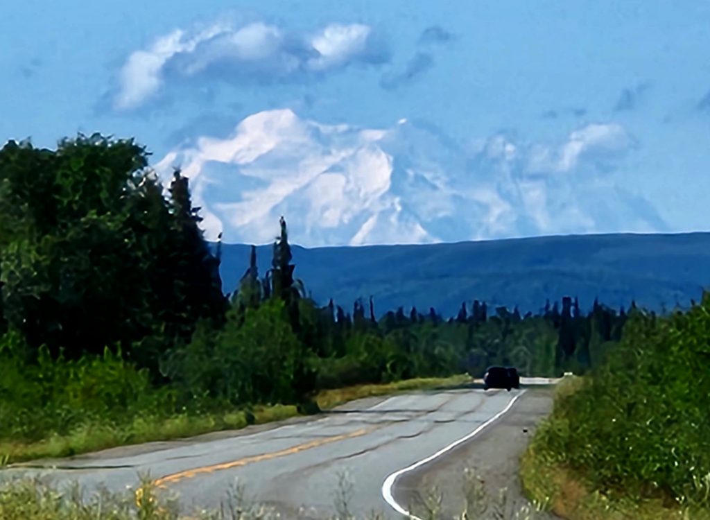
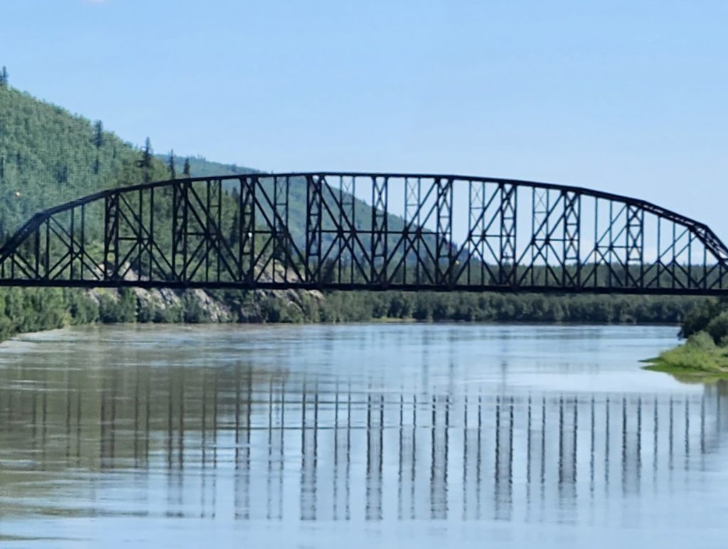
Day 53 We left Denali National Park this morning, heading north past Fairbanks to the little town of North Pole. On the way, we had one more great view of Denali. We felt so privileged to get to see this peak that most people do not see. As we drove through the small town of Nenana, we got a glimpse of the Mears Memorial Bridge, the third-longest single-truss bridge in North America at 700 feet long. This railroad bridge was built in 1923 and was the longest single-span bridge in the country at the time. President Warren G. Harding traveled to Alaska to drive the ceremonial last spike into the north end of the bridge and died 18 days later, probably of cardiac arrest.
Our last view of Denali as we headed north toward Fairbanks
The Mears Memorial Railroad Bridge over the Tanana River in Nenana
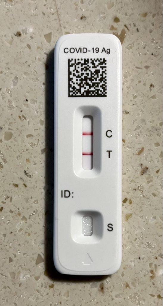
When we arrived at our campground, Hank did another test and discovered it wasn’t a cold—it was Covid. A quick call to his doctor, and Ron and June picked up medication so that Hank could start on that immediately. The new protocol is to isolate for 5 days while taking Paxlovid, so we made sure to keep distance between us and the rest of our Alaska 7 group.
Hank's positive Covid test. Darn!
Day 54 We didn’t get to do anything in Fairbanks because of the Covid diagnosis, but Hank rested today and already began to feel better. We did walk to the Chena River to see if there were any eagles—nope! Danno and Leilani enjoyed some outdoor munching time. They apparently like the grass in this campground!
A view of the Chena River from our campground in North Pole
Hank rests in our screen house
Danno likes it here!
A little mouse ran under our RV!
Day 55 I had been testing negative, but today I too tested positive for Covid. Again, our friends came to the rescue, and Tom picked up medication so that I could get started with my 5 days on Paxlovid. Judy and Allyn brought back some blueberry tea to speed our recovery. We were thankful to have this happen in a city like Fairbanks, rather than in a very isolated area. We’re pretty sure we picked up Covid from a fellow passenger on the Denali transit bus that we rode for 5 hours on Day 50☹.
While we hunkered down in our motorhome, the others (who are all feeling fine) explored North Pole, found a bull moose, and visited the northernmost brewery in North America. Those pictures will be saved for the next blog installment. Tomorrow we’ll take off for the last leg of the Alaska Highway—more on that in the next blog.
Thanks for journeying along with us. We are not done with our 80-day trip yet!
10 thoughts on “Alaska-Part 8-From the Mat-Su Valley to Denali”
Hope you’re feeling much better! Brings back fun memories of our AK trip— Matsuka valley and Talkeetna. We were also so fortunate to see multiple views of Denali. I think we had the same bus driver, named Bear.
That’s funny that you had the same bus driver. He said he’d been doing the driving there for many years, so it’s possible. Glad the photos and stories are bringing back good memories for you. And we are feeling better 🙂
Thank you, Adrienne. We are done with our Covid medication and just trying to get back to full strength. Every day is better, and seeing the beautiful scenery and wildlife definitely helps!
COVID probably wasn’t a memory you wanted to bring back from this trip, but glad to know you are feeling better. This was another wonderful blog – loved the pictures and commentary. Denali looks spectacular! And Blazer’s pose really made me chuckle! Safe and healthy travels!
Thank you, Peggy. We’re doing much better! We really enjoyed seeing Denali and all the beautiful mountains in Alaska. We never get tired of these gorgeous views. Thanks for reading!
get well soon, travelers
Thank you, Beth! We are doing much better, thanks to the new medication that’s available.
Hope you’re feeling much better! Brings back fun memories of our AK trip— Matsuka valley and Talkeetna. We were also so fortunate to see multiple views of Denali. I think we had the same bus driver, named Bear.
That’s funny that you had the same bus driver. He said he’d been doing the driving there for many years, so it’s possible. Glad the photos and stories are bringing back good memories for you. And we are feeling better 🙂
So incredible!you make it sound like a jaunt in the park.
Really enjoyong , vicariously. Your amazing trip.
Hope you both are feeling on top of your game again.
Thank you, Adrienne. We are done with our Covid medication and just trying to get back to full strength. Every day is better, and seeing the beautiful scenery and wildlife definitely helps!
COVID probably wasn’t a memory you wanted to bring back from this trip, but glad to know you are feeling better. This was another wonderful blog – loved the pictures and commentary. Denali looks spectacular! And Blazer’s pose really made me chuckle! Safe and healthy travels!
Thank you, Bernie. We are definitely feeling better. And you’re right–Denali is spectacular!
Glad to hear you’re feeling better. Your photos of Denali are spectacular!!!
Thank you, Peggy. We’re doing much better! We really enjoyed seeing Denali and all the beautiful mountains in Alaska. We never get tired of these gorgeous views. Thanks for reading!