Part 4: The Alaskan Interior (Tok, Chicken, Wrangell-St. Elias National Park)
Day 22
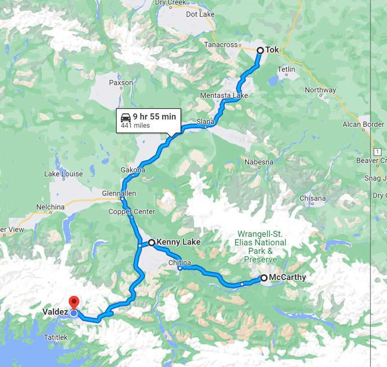
We have made it to Alaska! For the next several weeks, we will explore most of the parts of Alaska that you can drive an RV to. Some people do take their campers on dirt or gravel roads to the Arctic Circle, Prudhoe Bay, and a few other unpaved locations, but we decided to stick to the places where the roads are paved (even though we knew there would be unpaved sections because of roadwork being done, as we experienced yesterday). In this post, I’ll describe our RV travel along our 268-mile route in the Alaskan interior, as well as a key side trip we took during this leg (NOTE: Some photos were taken by other members of our Alaska 7 group and used with their permission). The Alaskan Interior (South-Central Alaska) was heavily affected by the building of the Richardson and Alaska Highways, allowing for land travel in much greater numbers than had been possible before then.
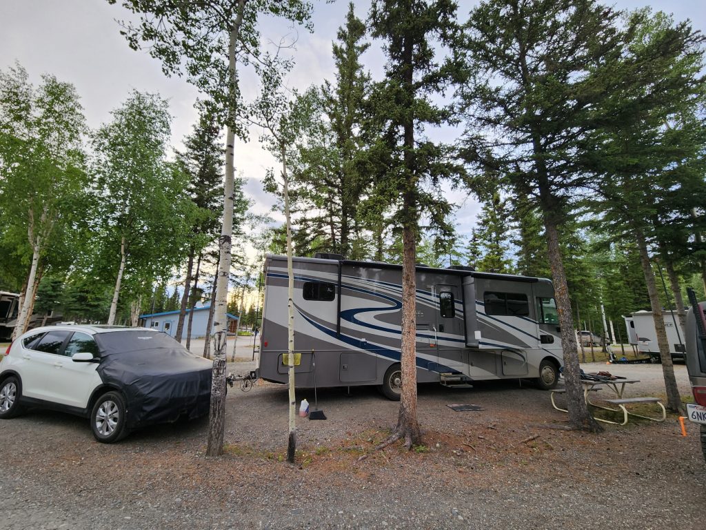
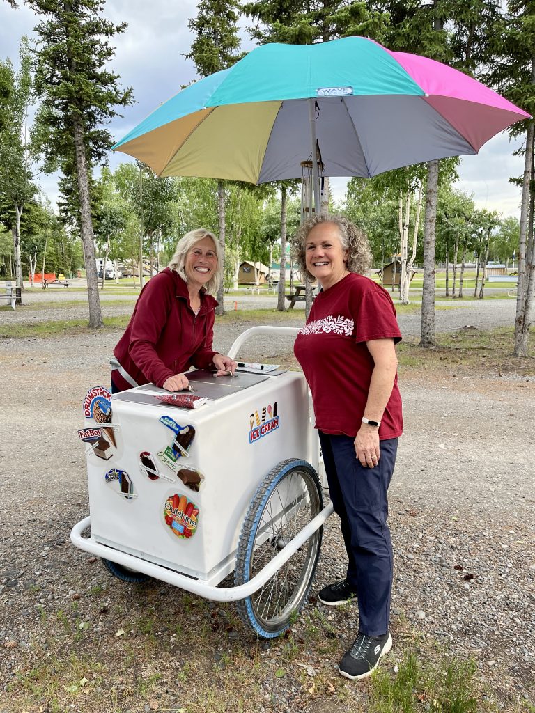
Tok, Alaska, knows that it is the first town most visitors encounter when they drive to Alaska, and it is well-equipped for the summer onslaught of tourists. After our marathon day of driving to get here yesterday, we needed a day to catch up—laundry, car wash, getting organized, and publishing our previous blog. Others in our group did some online banking, talked to family members, washed their vehicles, and bought more beer!
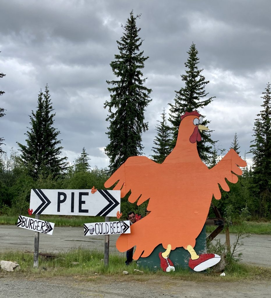
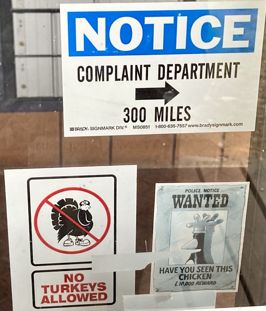
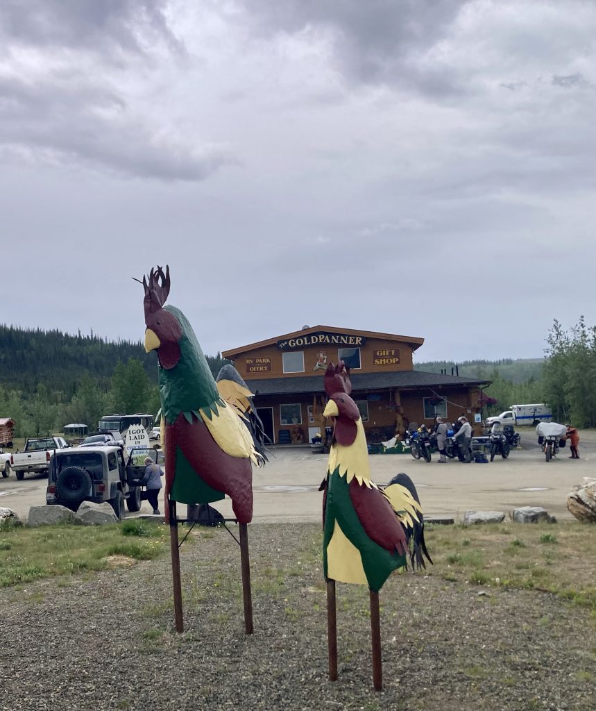
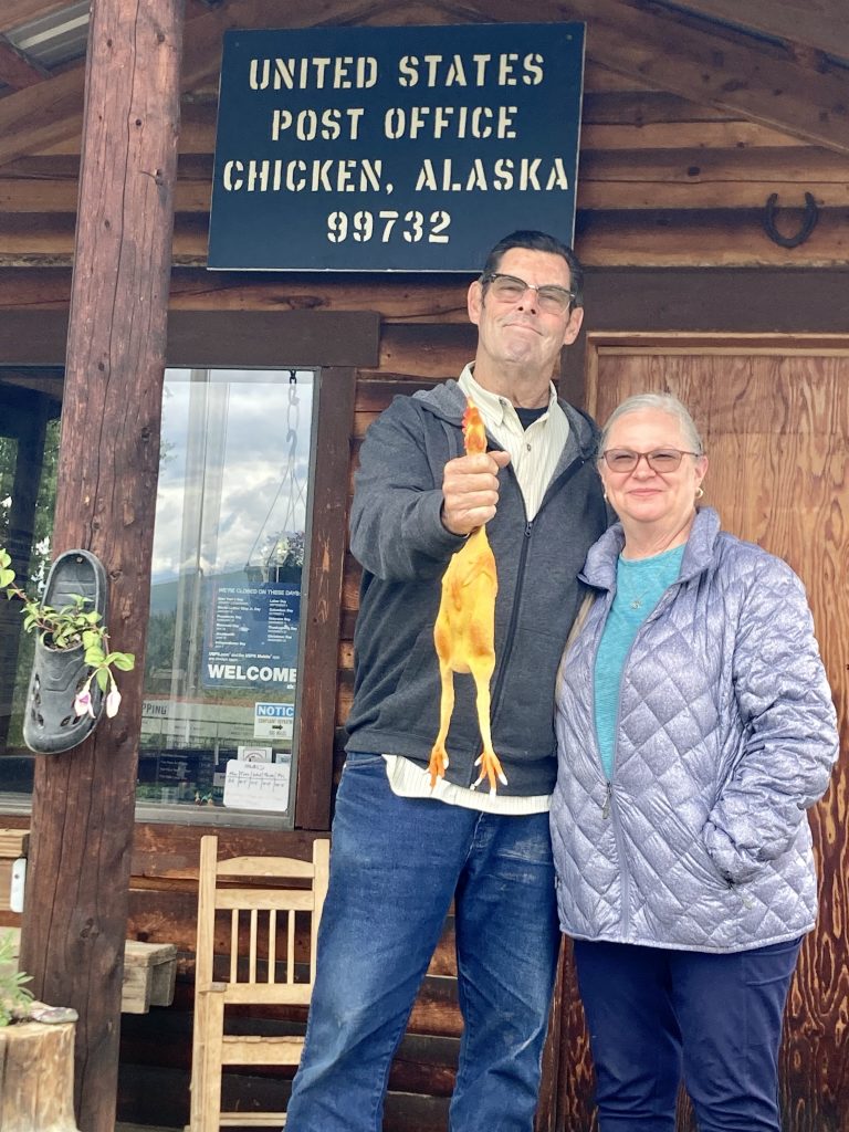
Judy and Allyn were today’s adventurers, using their Jeep to drive 77 miles (each way) to Chicken, Alaska. This is a tiny town with an exuberant personality that is due north of Tok on the Taylor Highway. The story goes that in 1902 the townspeople wanted to name the town “Ptarmigan” because of the prevalence of this wild game in the area. But they didn’t know how to spell ptarmigan, so they named the town Chicken instead.
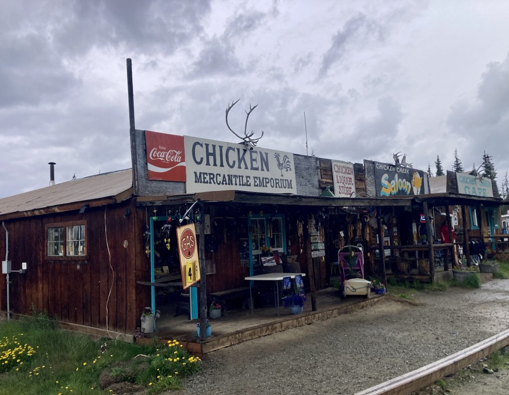
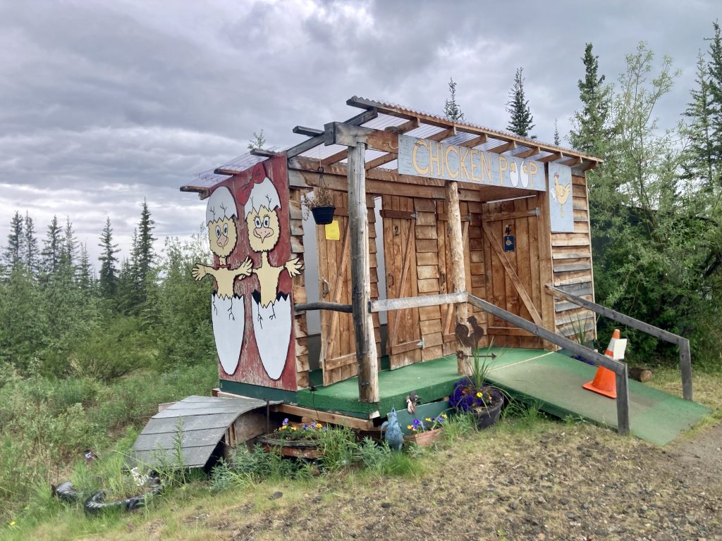
Judy wanted to learn about her grandmother’s friend Anne Purdy (from Twentynine Palms, California), who wrote a book about her life in Chicken, called Tisha (as told to Robert Specht). One of Anne’s daughters still visits Chicken regularly. A man in the RV park in Chicken shared information with Judy and Allyn about Anne and her daughter.
Joe and Jewel, family friends of the Kratzers, sent a postcard to Judy and Hank’s mom from Chicken, Alaska, and the current postmaster (Robin) probably was postmaster when the postcard was sent in 1997. Judy showed the postcard to the current postmaster, and she recognized her postmark.
Some historic buildings in Chicken are on private property, including all of Old Town Chicken, so it’s not easy to visit the historic sights. Nevertheless, Judy and Allyn enjoyed their road trip to Chicken, and we loved hearing about their adventures.
Day 23
Today was the Summer Solstice, the longest day of the year. We celebrated by driving southwest from Tok along the Tok Cutoff and then onto the Richardson Highway.
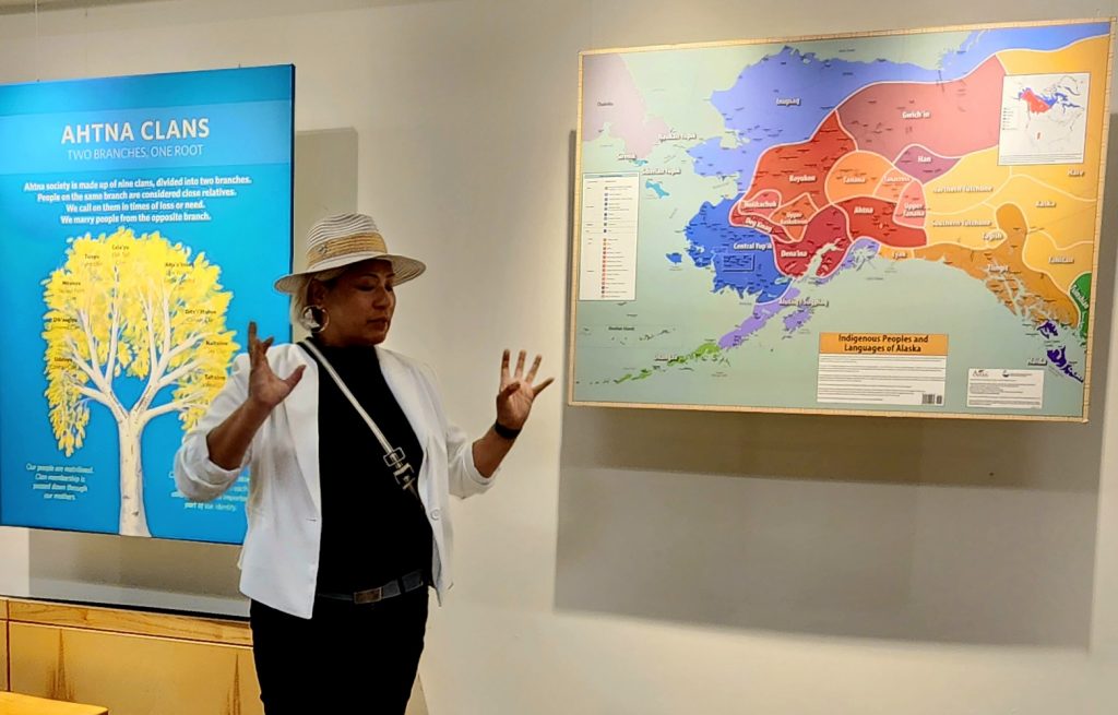
In Copper Center, we stopped at the Wrangell-St. Elias National Park Visitor Center to view a movie, hear from an Ahtna (Native Alaskan) speaker about her people’s culture and history, view some of the mountains making up the largest national park in the United States, and of course get the stamp in the National Park Passport book.
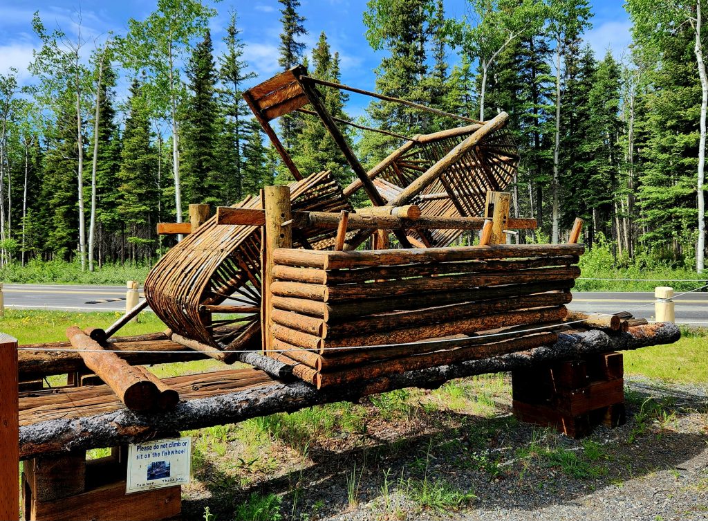
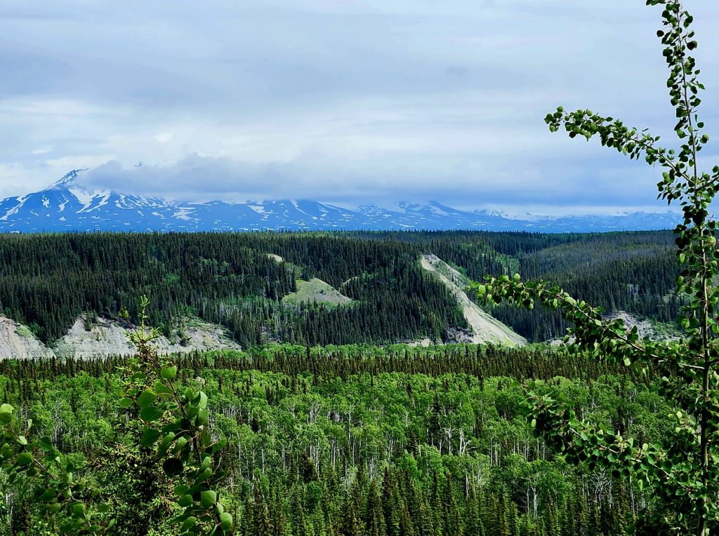
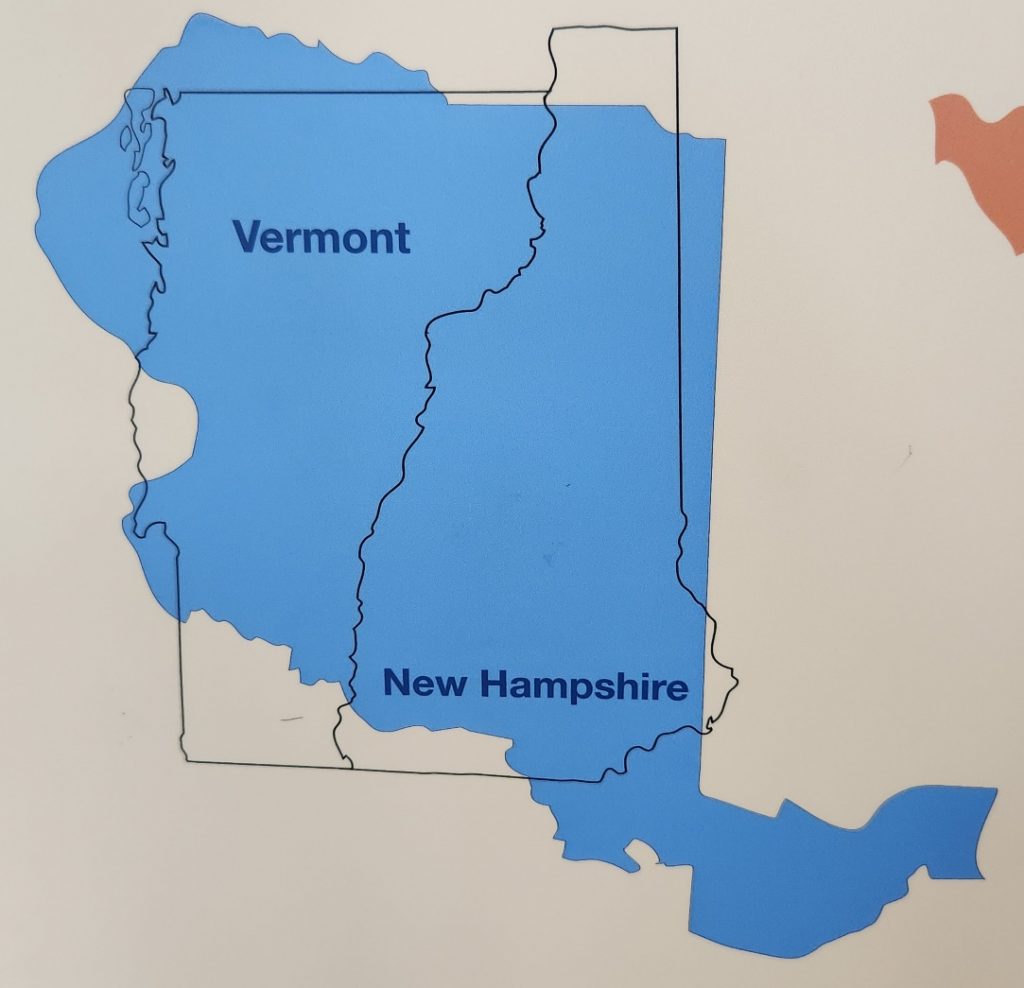
Apologies to our friends in Vermont, but Wrangell-St. Elias National Park is bigger than Vermont and New Hampshire put together! In fact, it equals six Yellowstones—and Yellowstone is a huge park. Nine of the 16 highest peaks in the U.S. are found in the four mountain ranges that meet in the national park—the Wrangells, Chugach, Saint Elias, and the Alaska Range.
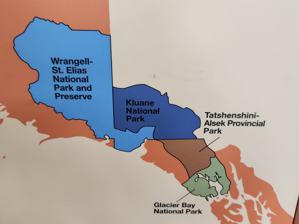
But most of the park is inaccessible, unless you have an airplane. These mountain ranges (Wrangell Mountains and St. Elias Mountains) are a continuation of the mountains we saw in Kluane National Park in the Yukon Territory (see Blog 3) with many peaks between 14,000 and 16,000 feet high. Mt. St. Elias is 18,008 feet high and is the second highest peak in the U.S., but few of us have heard of it. Mount Drum was visible from the visitor center and it is only 12,010 feet high.
Day 24
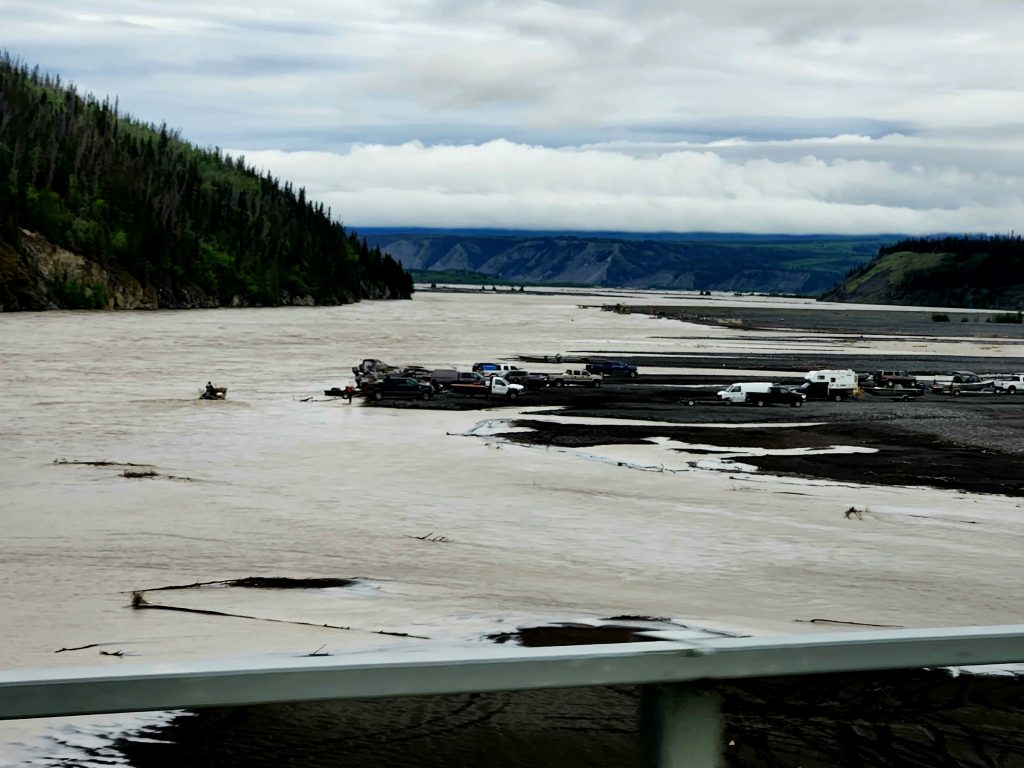
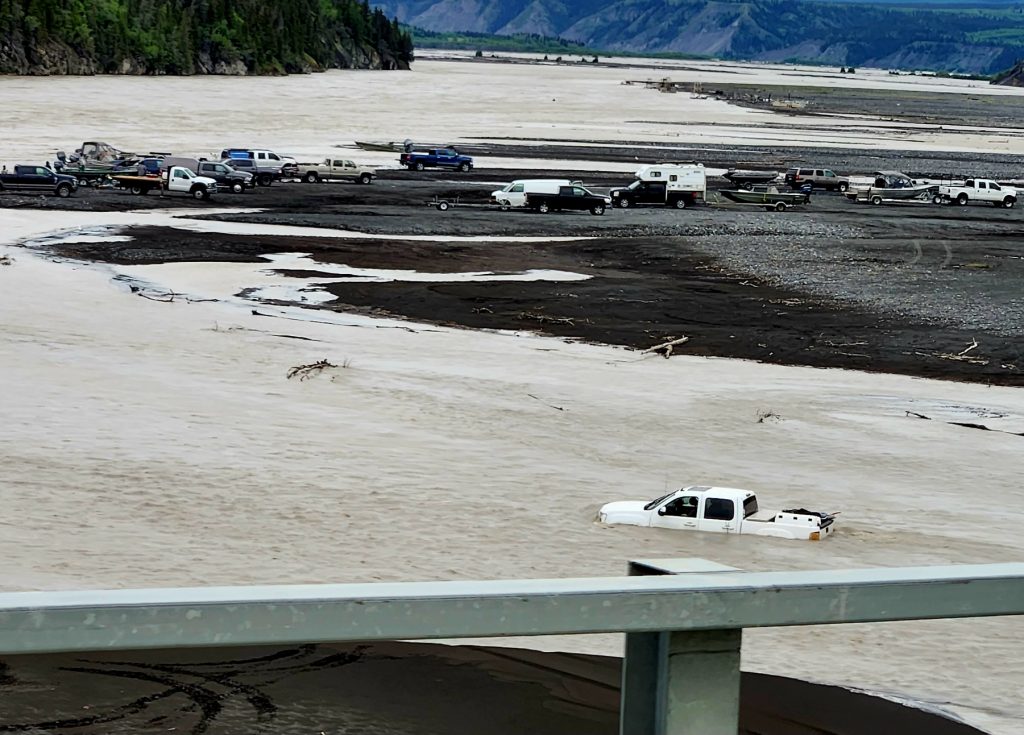
This was our day to investigate one of the only sections of Wrangell-St. Elias National Park and Preserve that you can drive to. Allyn drove the Jeep along the 61-mile McCarthy Road, which was originally a railroad bed and is notorious for causing flat tires. While there were lots of potholes, we did not find it to be as challenging as we had heard (thank you to the entities in Alaska who are working to improve the McCarthy Road). The Chitina River flows into the Copper River at the beginning of the McCarthy Road, and we saw lots of people fishing (plus one pickup truck that was not doing well).
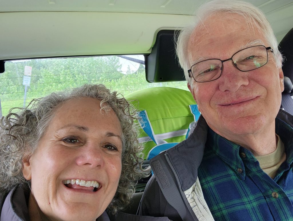
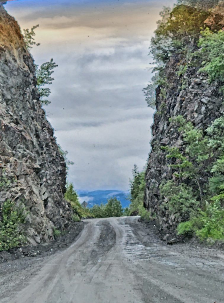
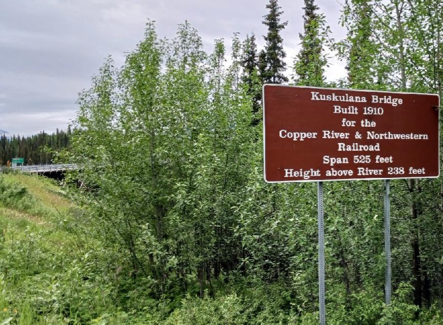
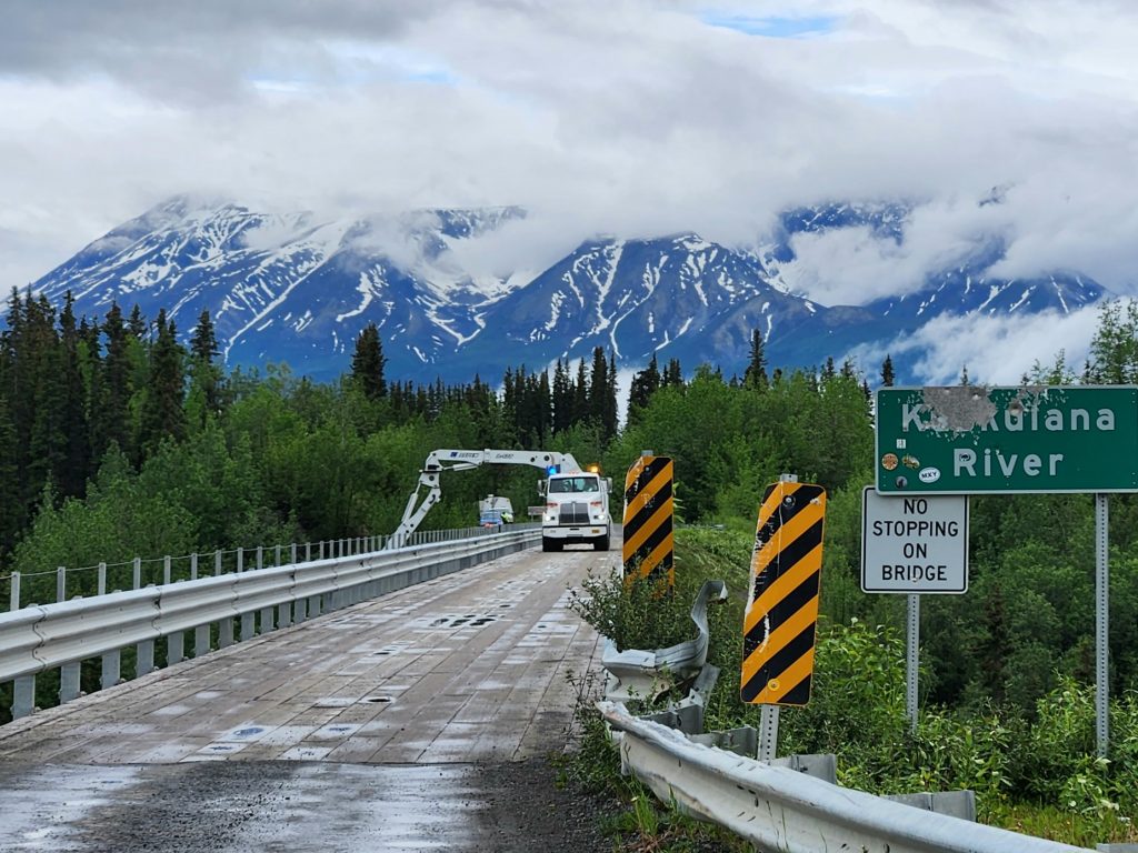
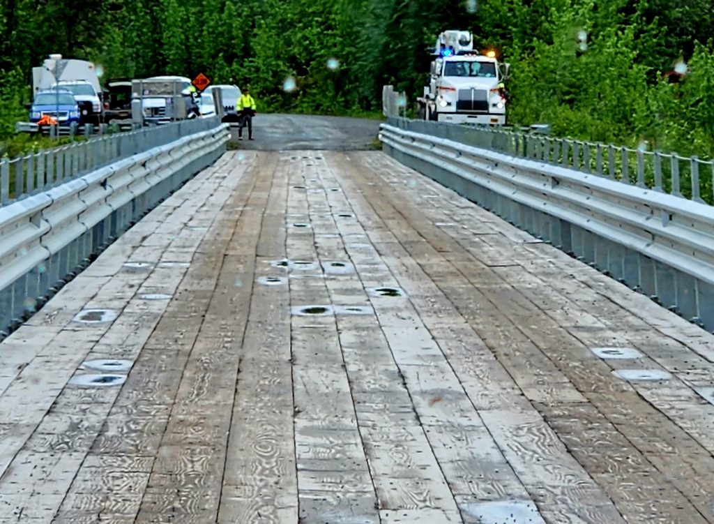
We did get delayed at the Kuskulana River Bridge, where crew members were doing safety inspections on the bridge. It was a very pretty place to be delayed, and we enjoyed talking with a worker and fellow travelers.
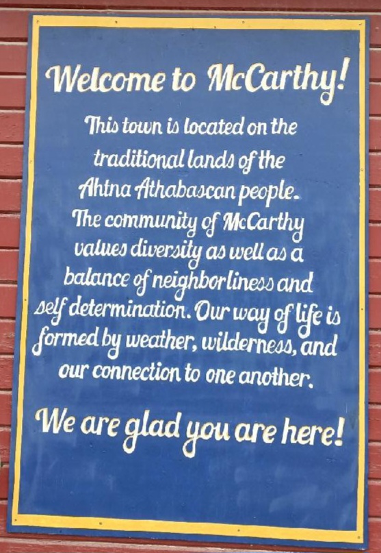
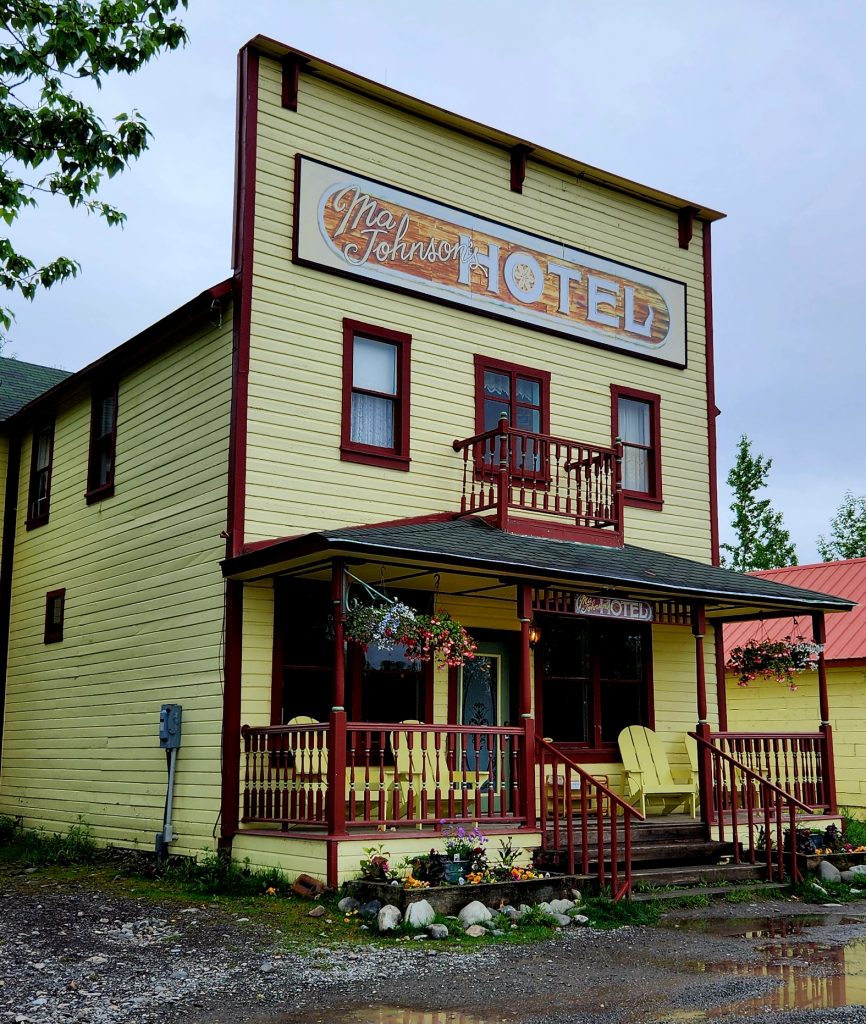
We finally made it to McCarthy, a town that is surrounded by the national park, but not technically part of it. Judy, Allyn, Hank and I were familiar with McCarthy from watching Edge of Alaska, a reality TV series a few years back on the Discovery Channel, which gave us a sense of how isolated this town is from many services we take for granted.
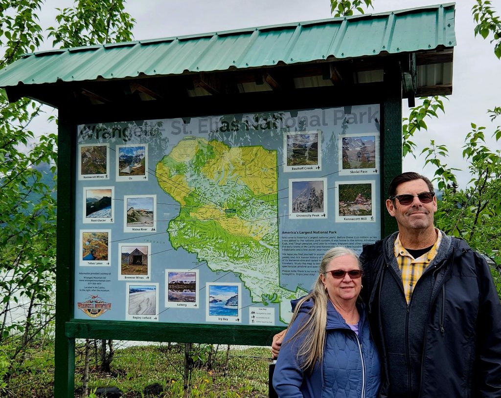
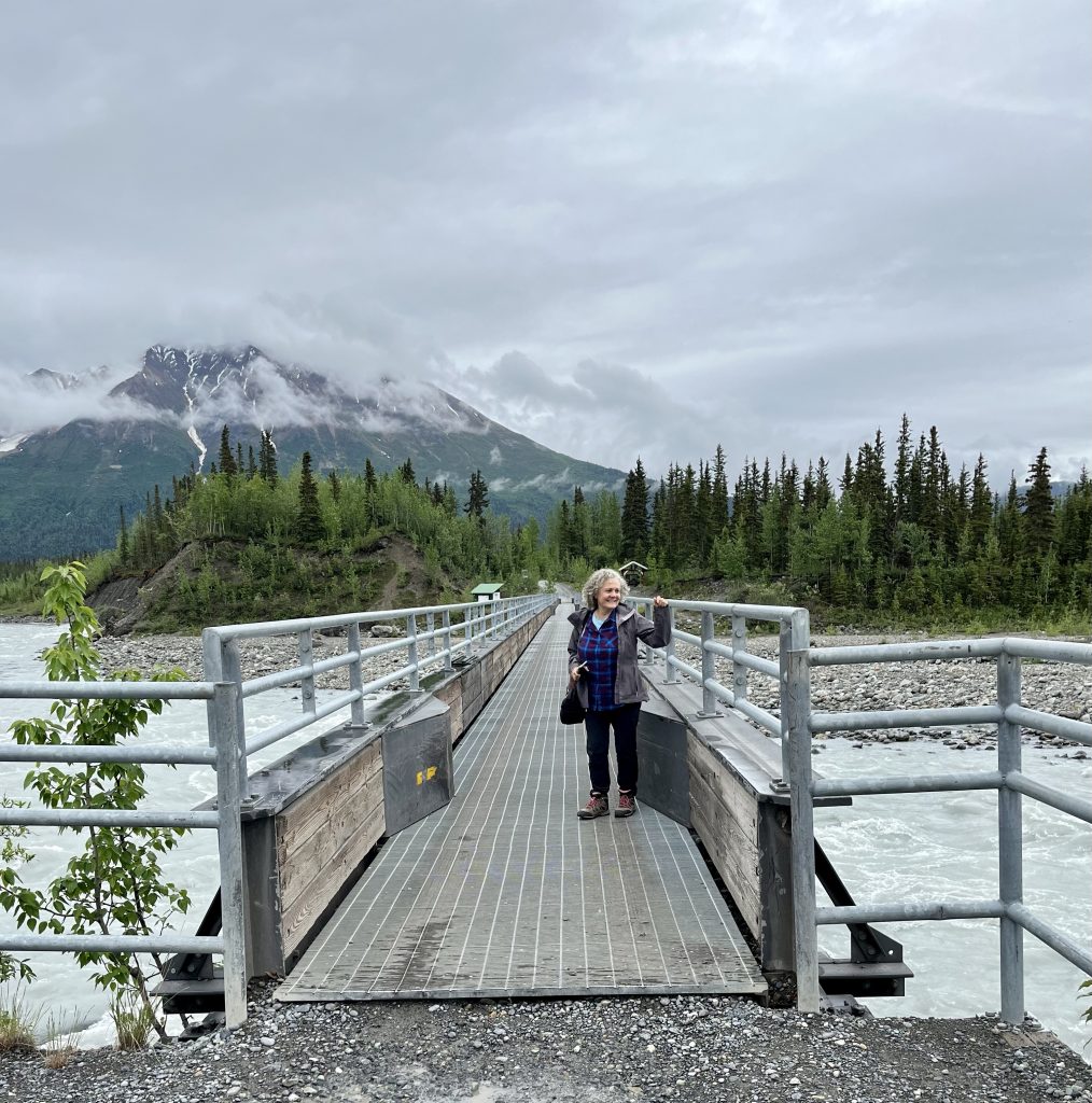
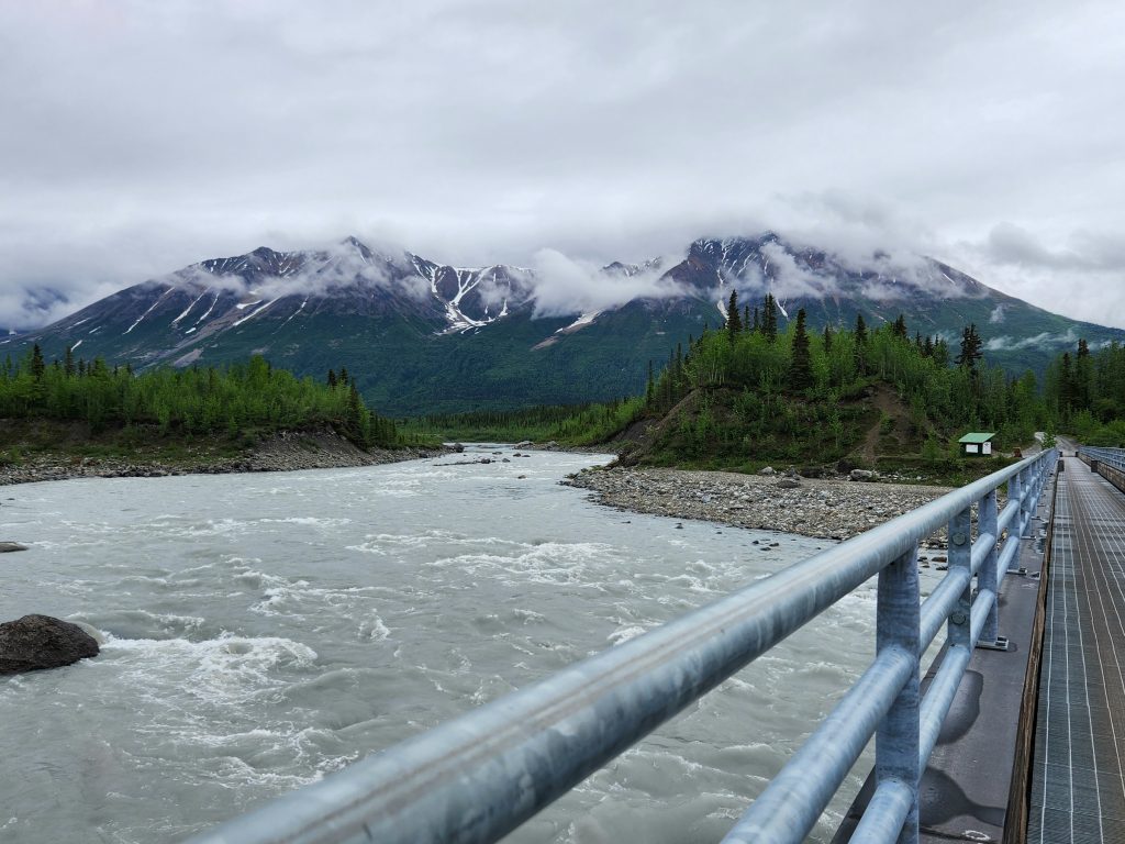
All those coming to McCarthy park their cars and then walk across the Kennicott River Bridge. There are shuttles into town and to the Kennecott Mines National Historic Landmark (yes, there is a reason for the different spellings of Kennicott/Kennecott), that is part of the national park, but since we apparently had just missed the shuttle, we walked the ¾-mile into town, found out that The Potato served lunch, and headed there for burgers and sandwiches.
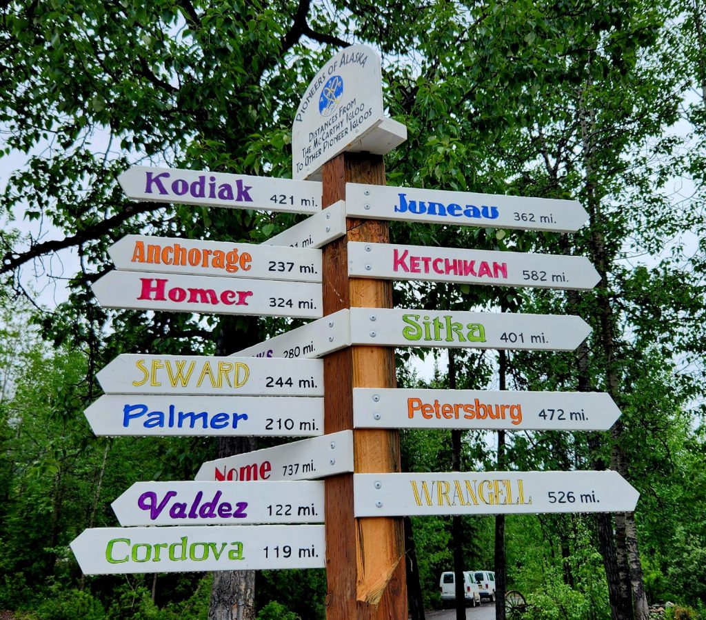
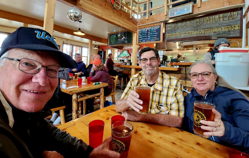
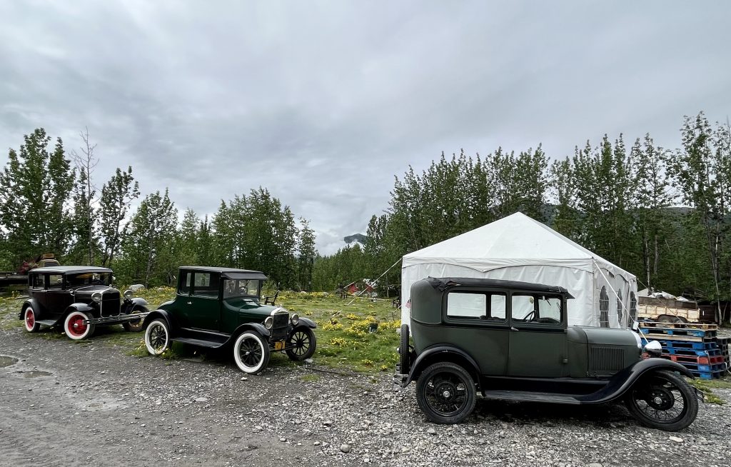
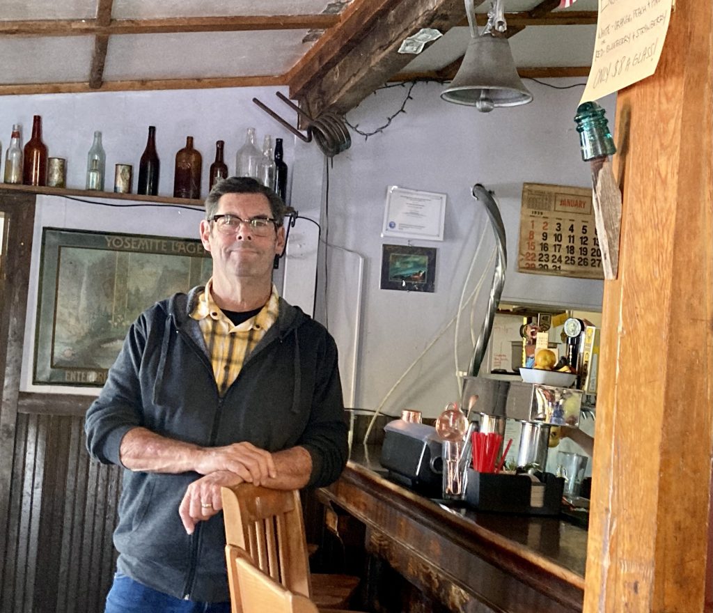
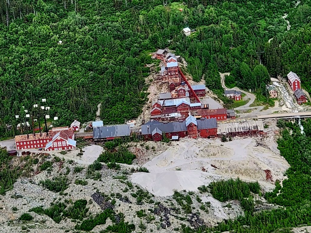
We then took the free shuttle up to the Kennecott Mines, where 200 million dollars of copper ore was mined and processed in the early 20th century. Many of the buildings have been restored, and there is a ton of history in this area.
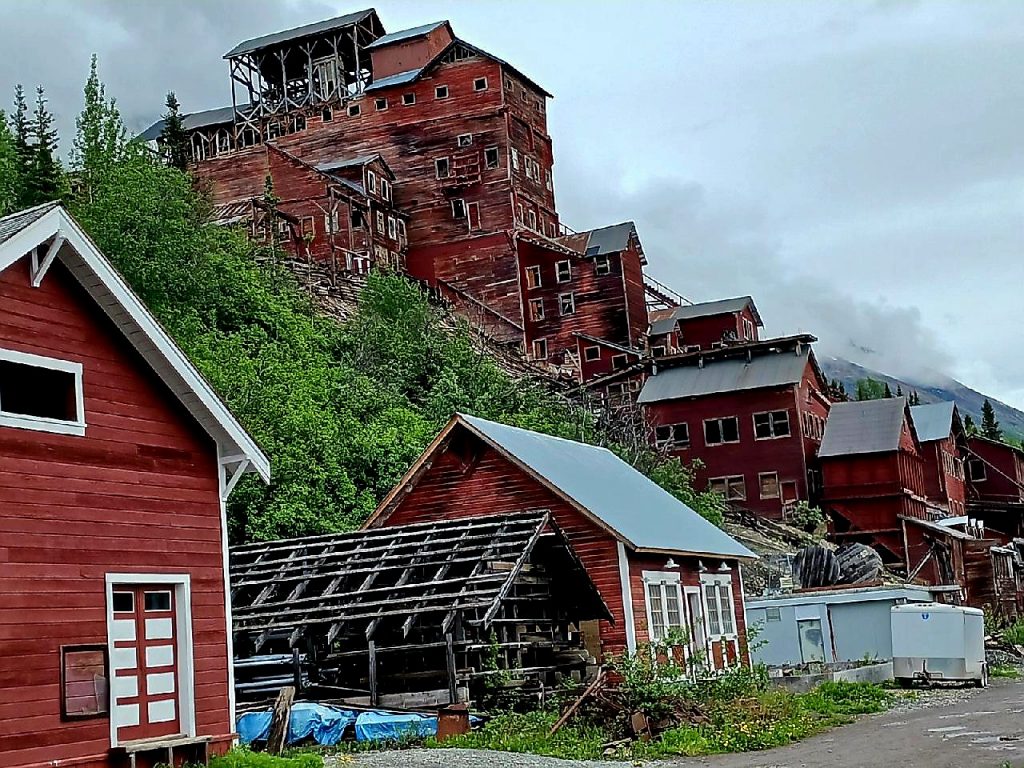
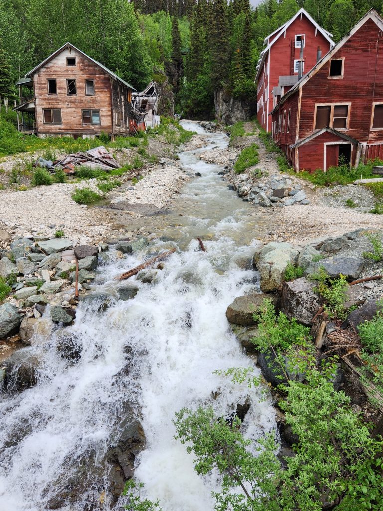
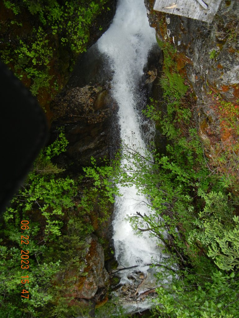
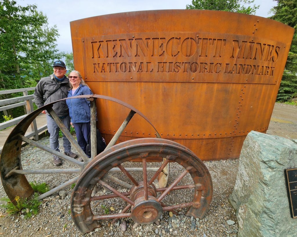
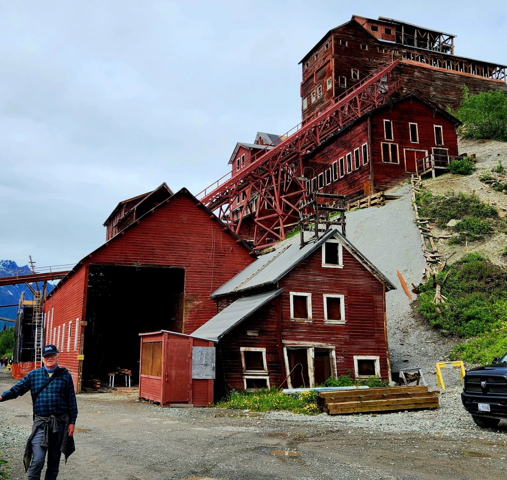
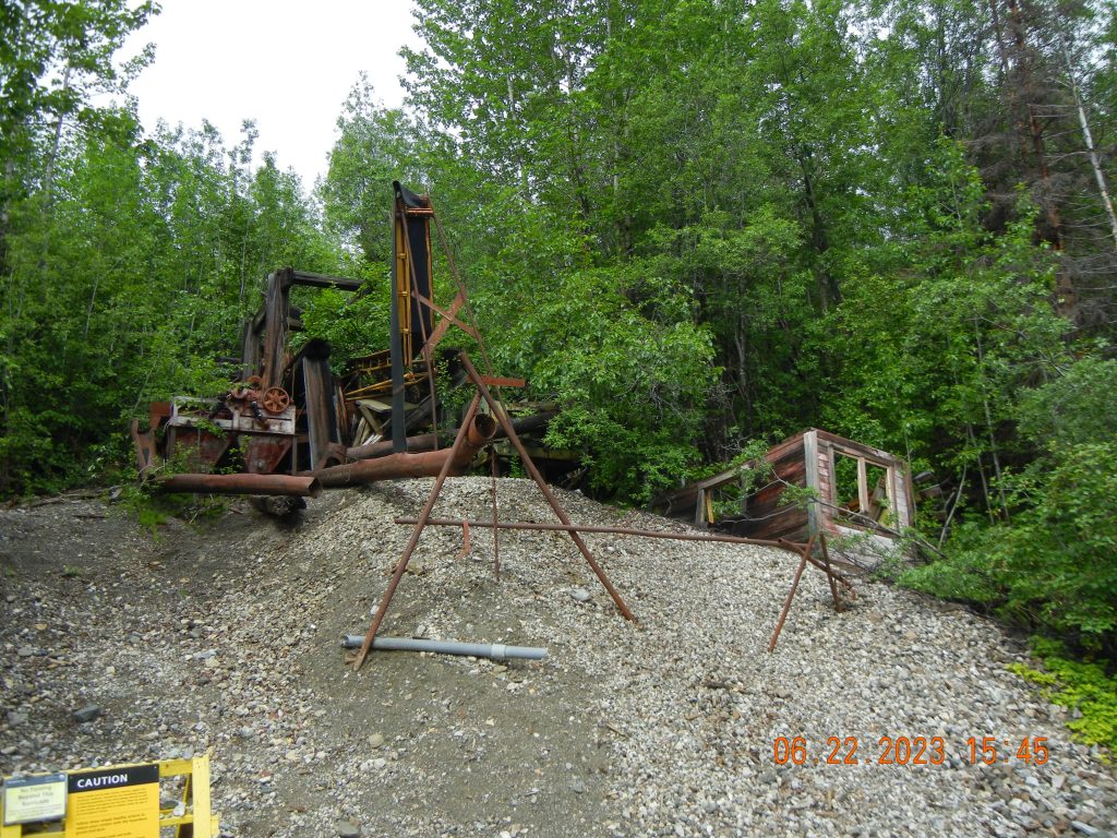
Plus, the views from the Kennecott area are spectacular, and the weather continued to clear so we could see more and more of the mountains that make up the national park.
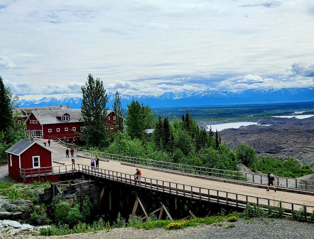
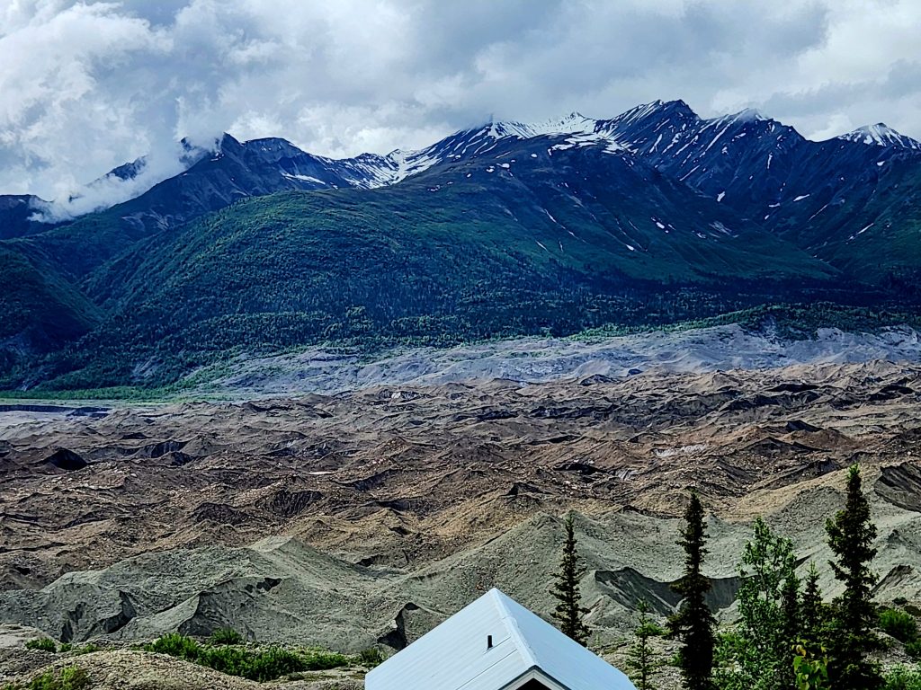
The Kennicott Glacier has receded several miles in the last 100 years, so the land directly out front of the mine area was the remaining glacial deposit.
We headed back on the shuttle, and met up with Ron, June, Tom and the dogs, who had gotten to the McCarthy Road and the national park a little later than we had.
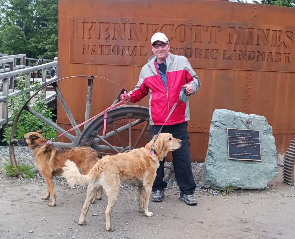
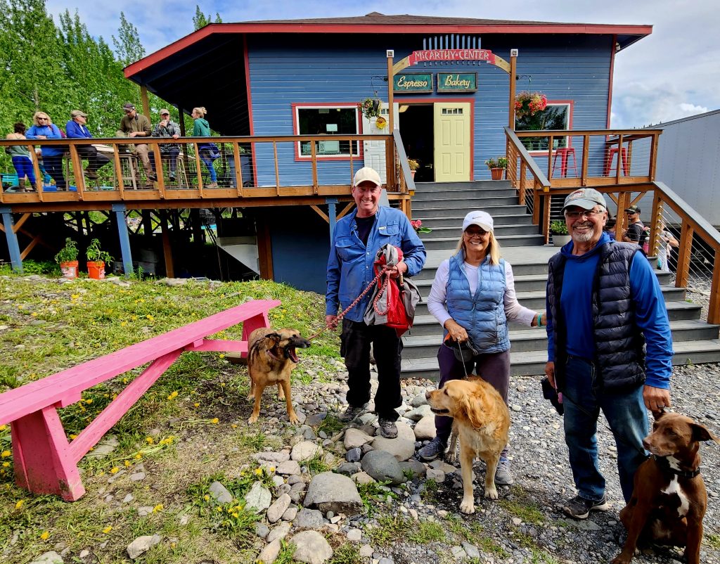
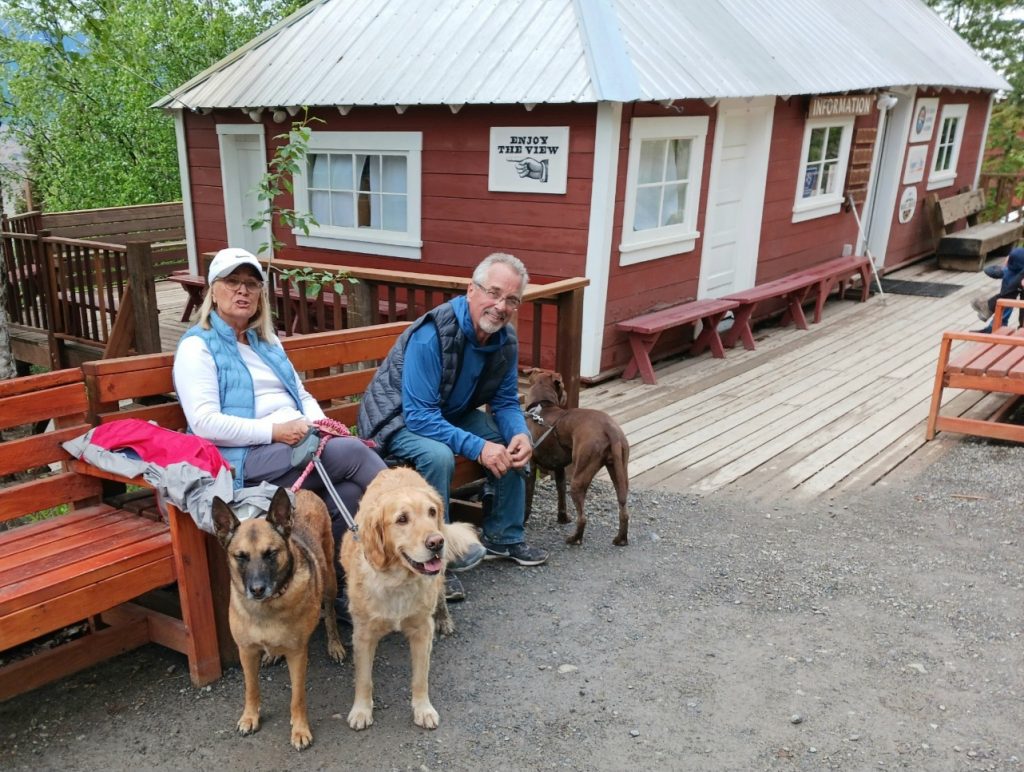
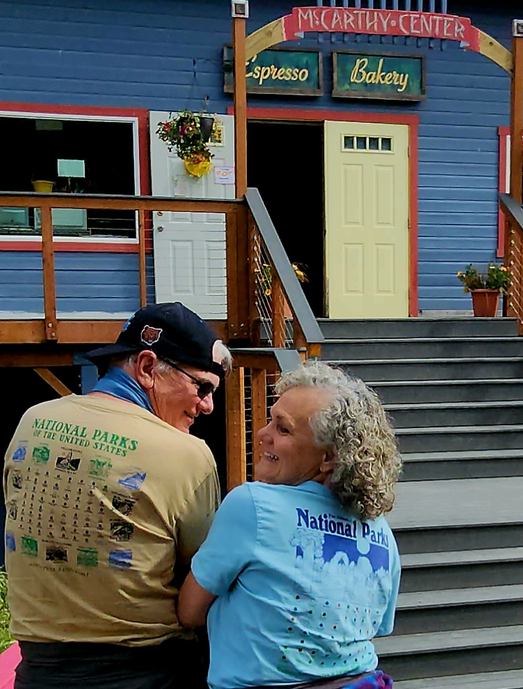
Judy and Allyn were able to visit the mine area for a little longer, but we had a plane to catch!
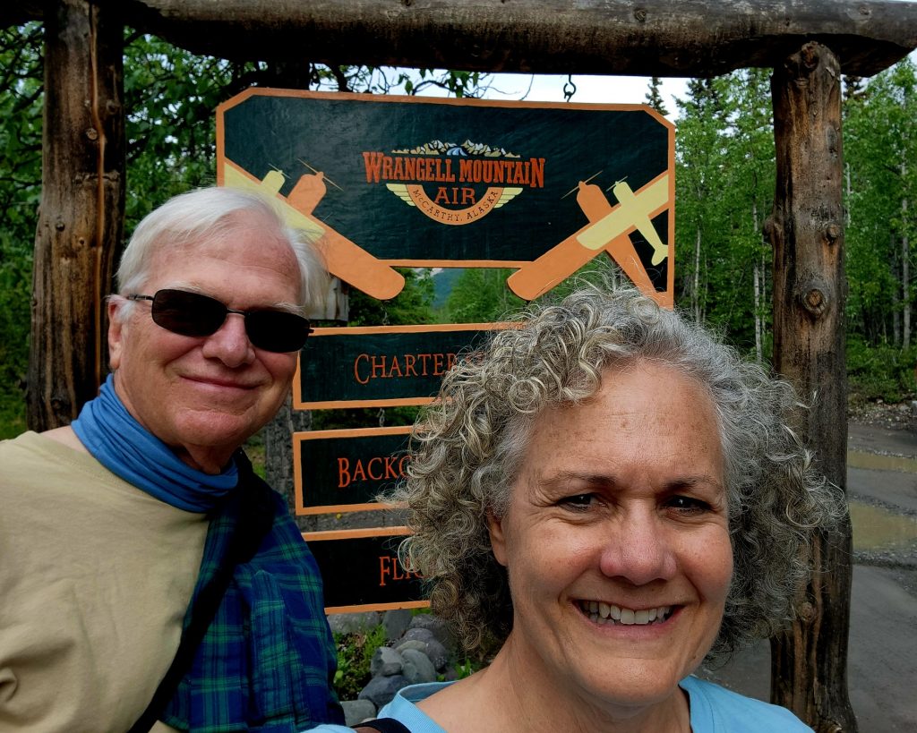
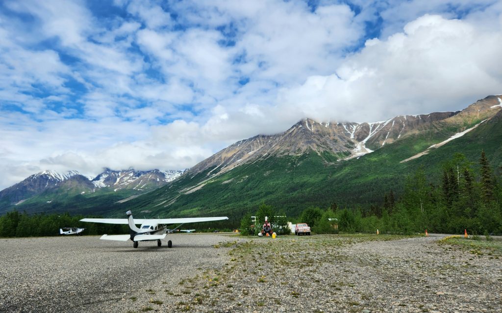
Hank and I had decided to drive in with Judy and Allyn, but fly out. Wrangell-St. Elias is such an enormous national park that you really can’t get a sense of it without getting up in the air. So, we had booked a flight with Wrangell Mountain Air to fly us from McCarthy back to the town of Chitina, where we could then drive our car back to our campground 20 miles away.
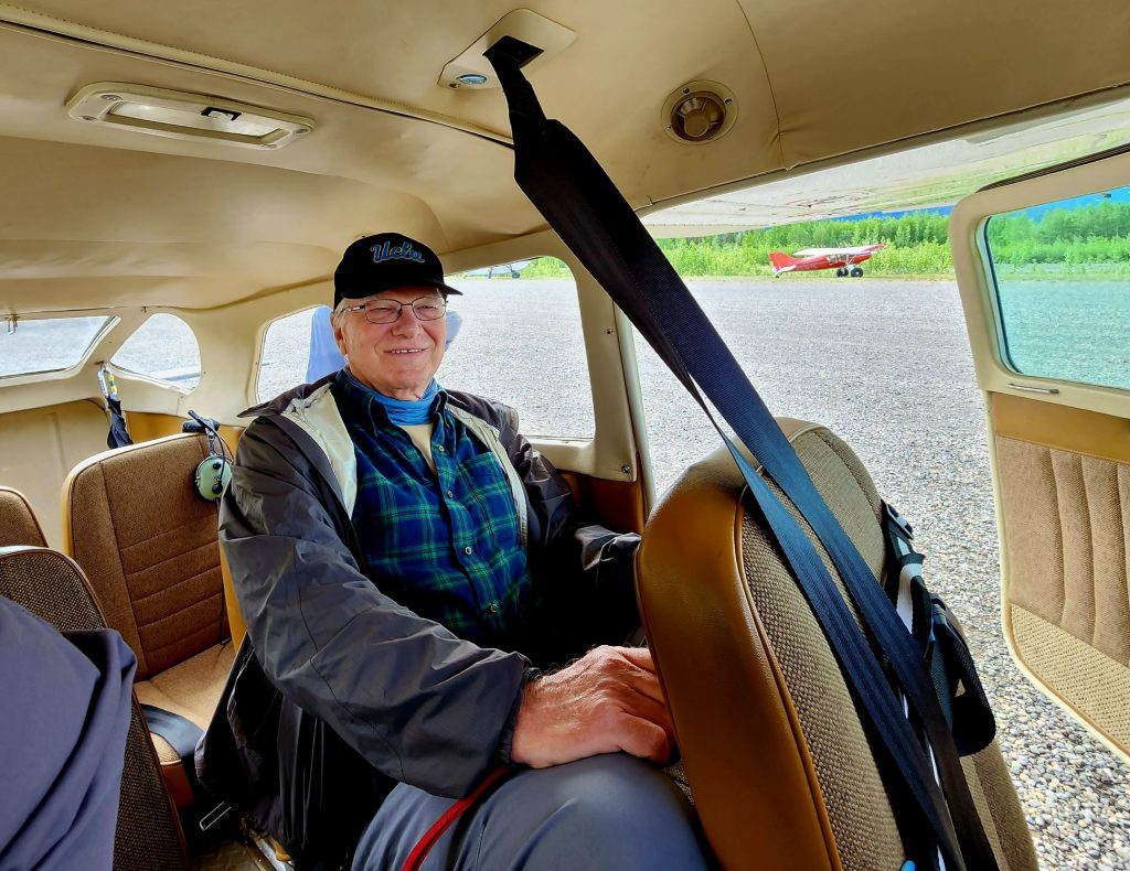
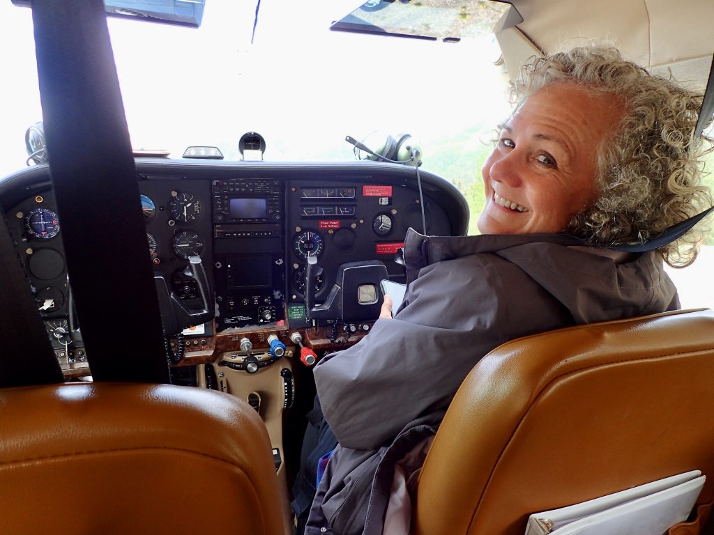
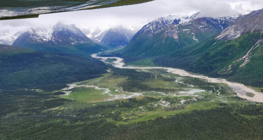
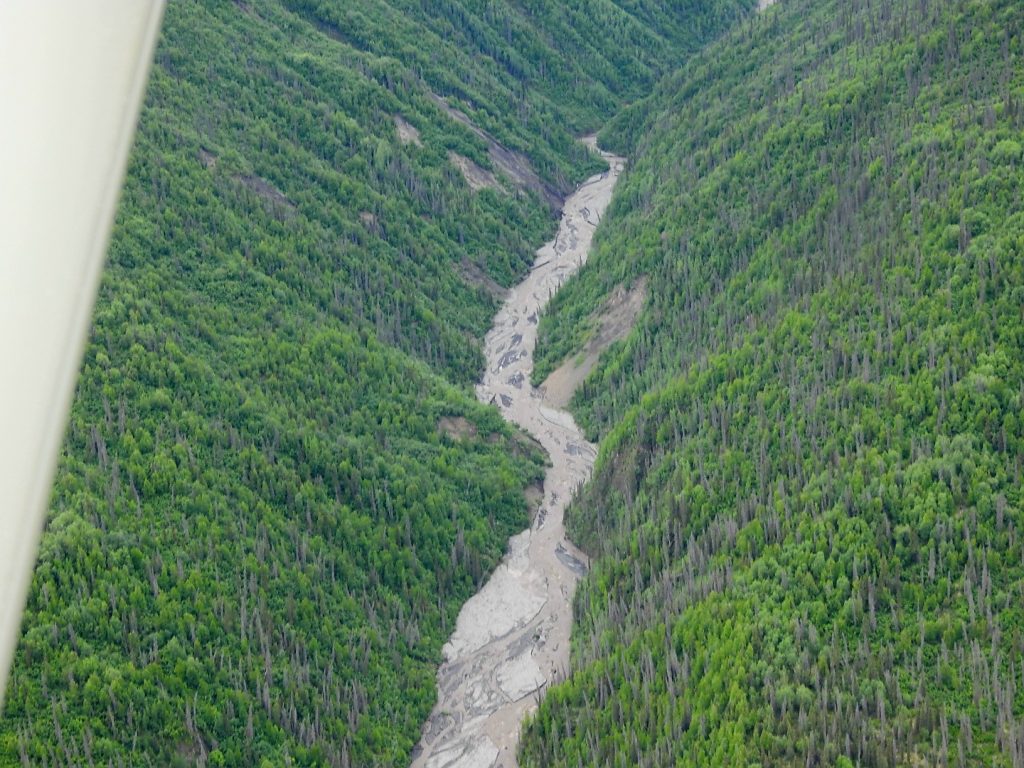
Our pilot Orrin gave us a thorough safety briefing (we were the only two passengers) and after we were up in the air, he began to point out some of the sights of the national park. We got a bird’s eye view of the Kennecott Mine area, both the buildings and where they had actually excavated the copper.
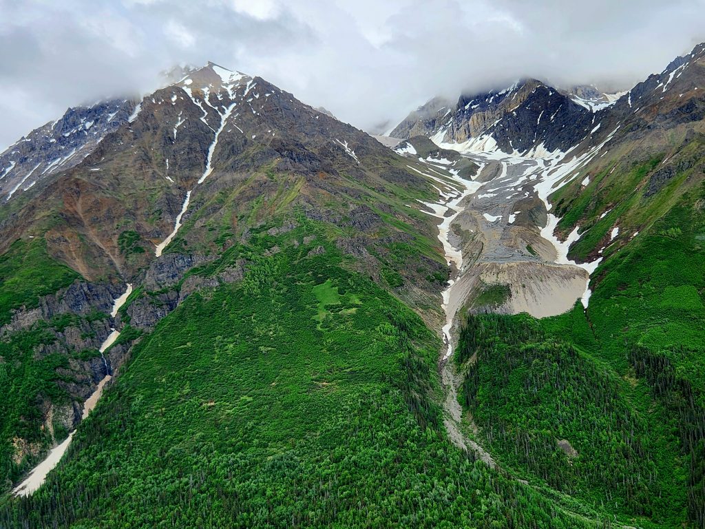
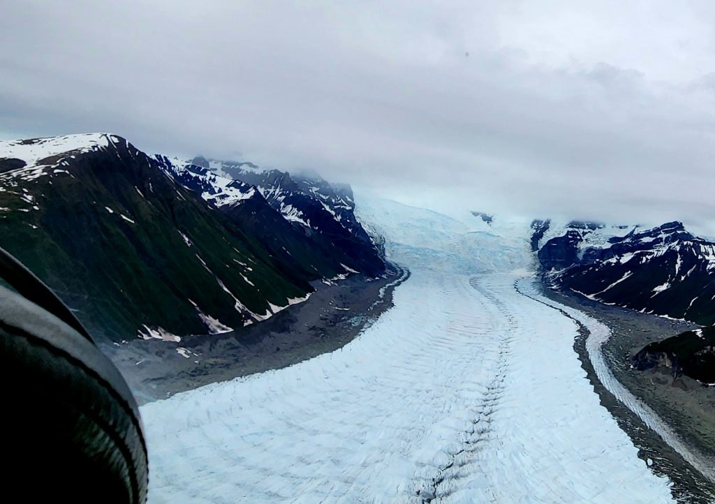
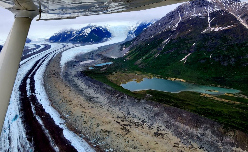
From the air, we saw three of the glaciers in the park—Root, Kennicott, and Gates—which is impossible to do any other way unless you are a backpacker.
And we just relished flying among these beautiful peaks, valleys, and rivers that make up Wrangell-St. Elias National Park. What a treat!
Day 25
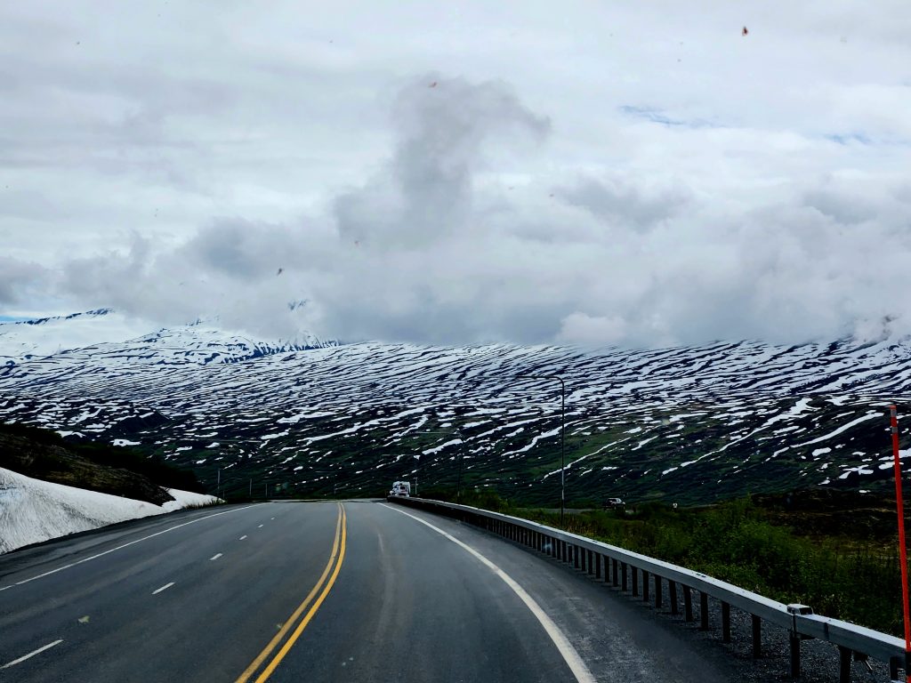
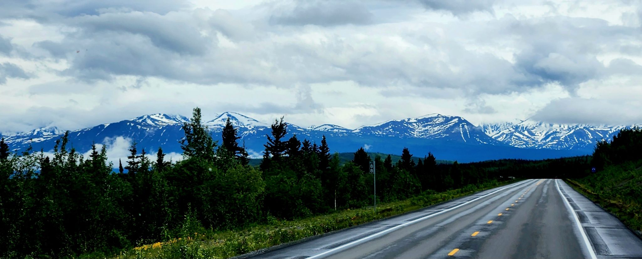
Today was the most beautiful driving day in a trip that has had many beautiful driving days! We drove 105 miles from Kenny Lake heading south to the town of Valdez on the coast (more about Valdez in the next post).
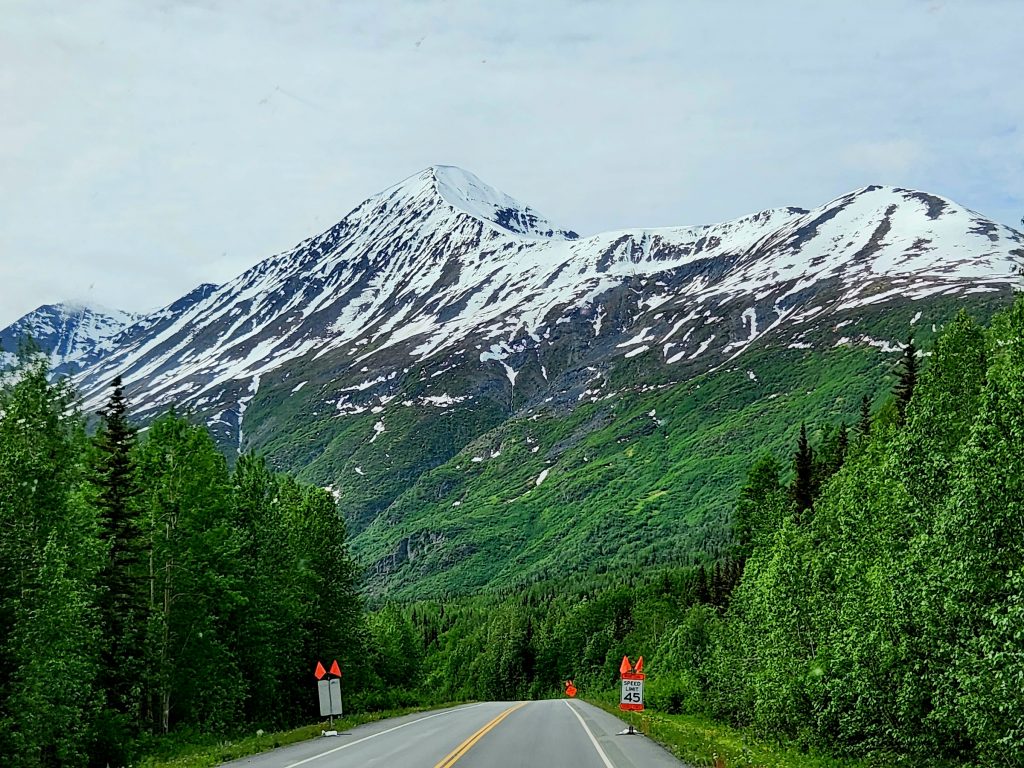
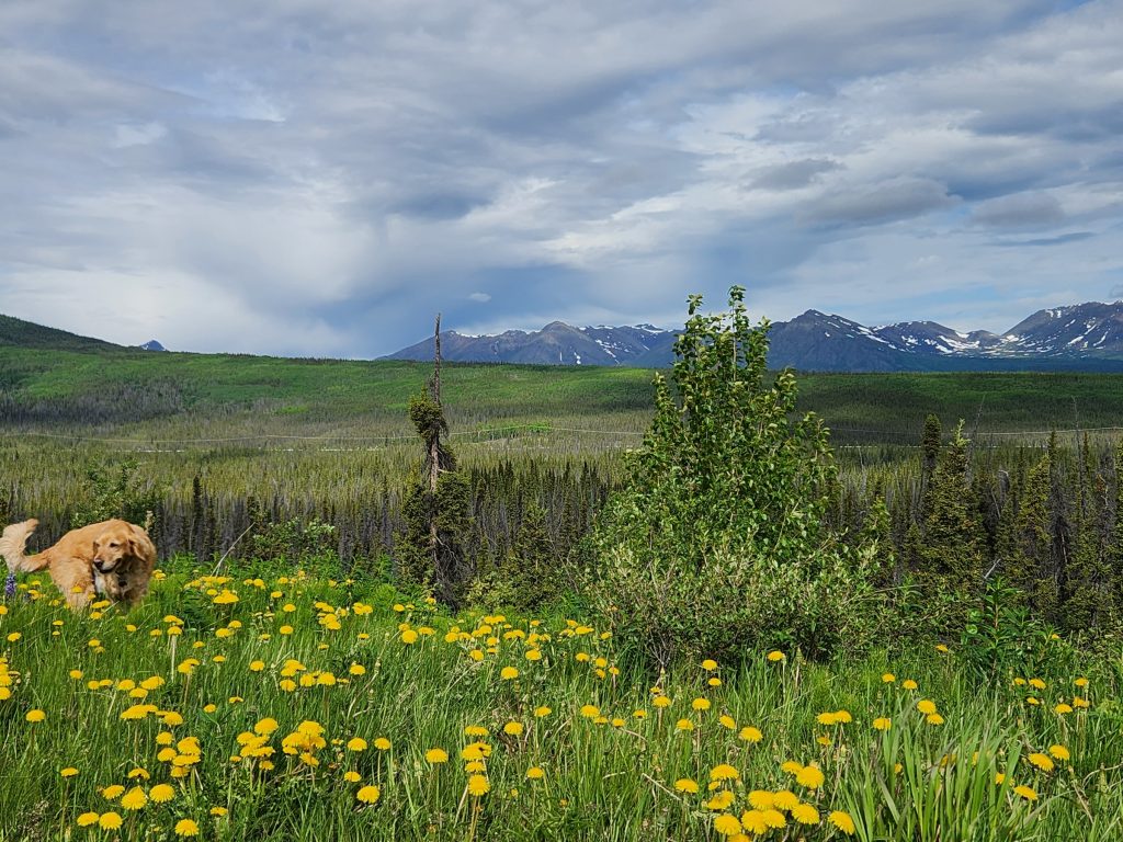
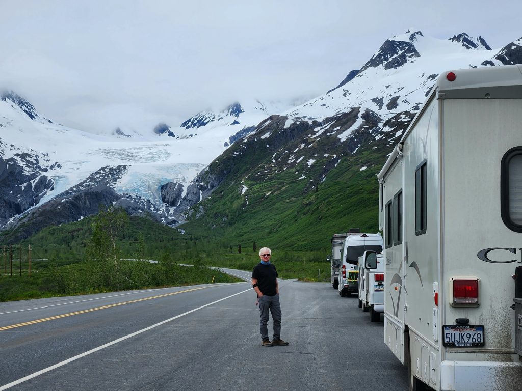
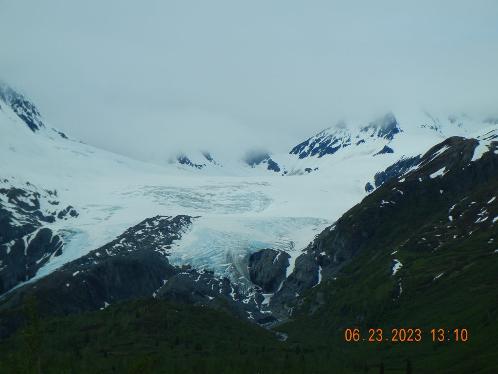
Along the way we encountered stunning views of the Chugach Mountains.
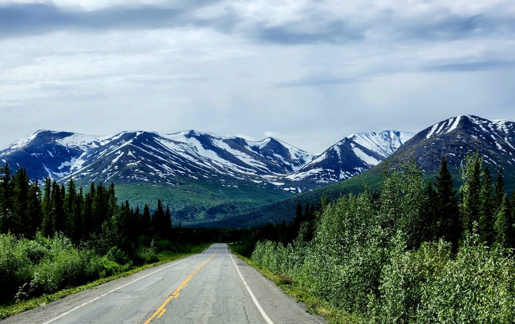
Worthington Glacier can be seen right from the Richardson Highway.
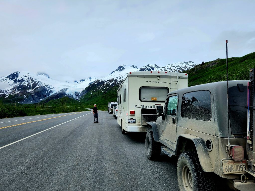
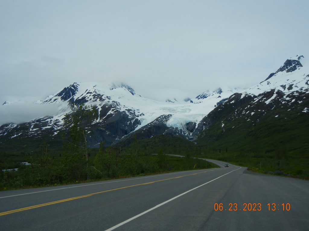
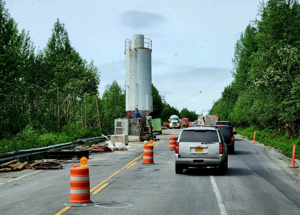
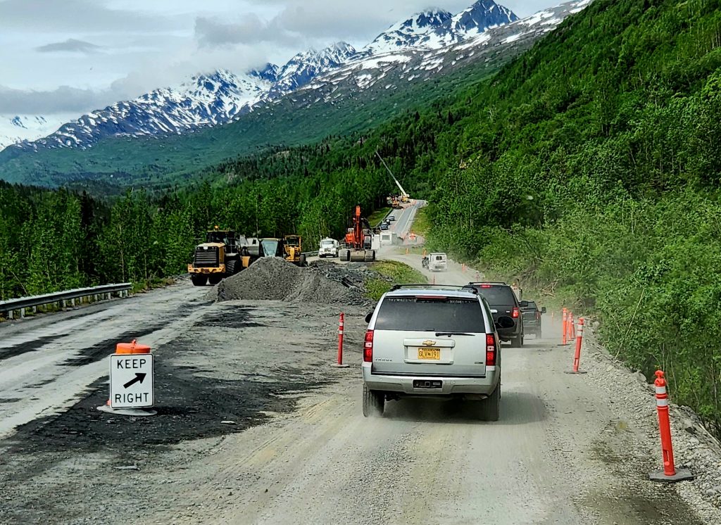
Though we encountered a bit of road work, it just gave us more time to enjoy the views over Thompson Pass, past Blueberry Lake, and through Keystone Canyon.
And lots of little waterfalls kept our interest, plus bigger waterfalls—Bridal Veil Falls and Horsetails Falls. What a beautiful part of Alaska this is!
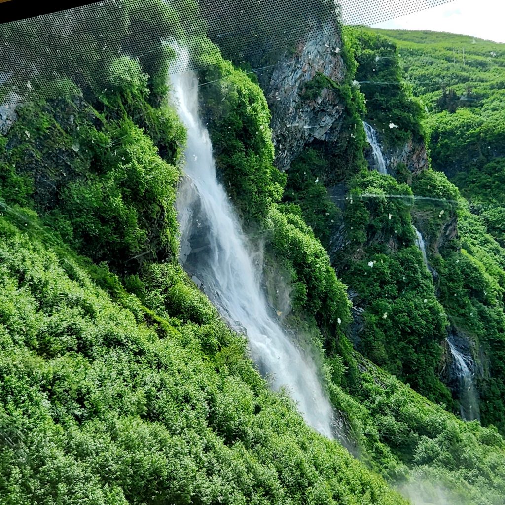
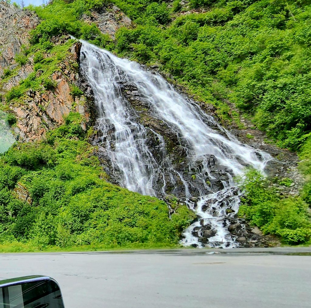
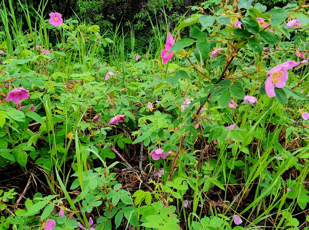
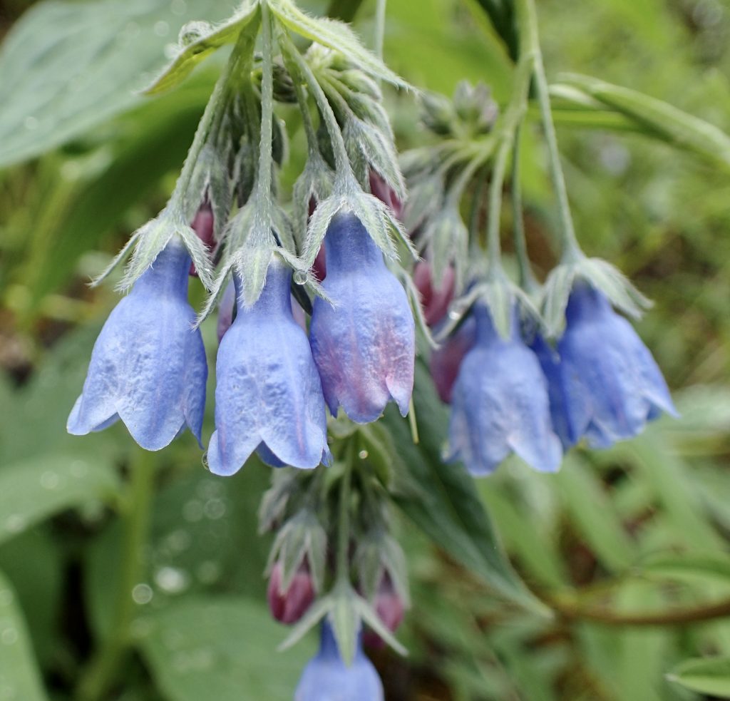
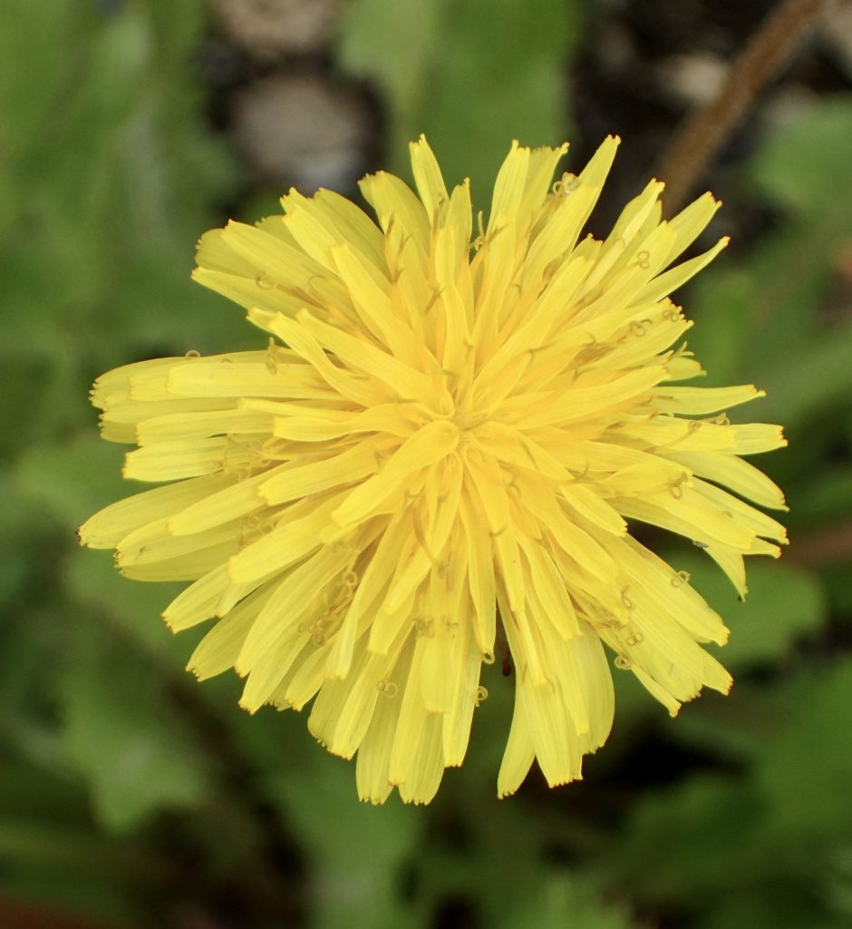
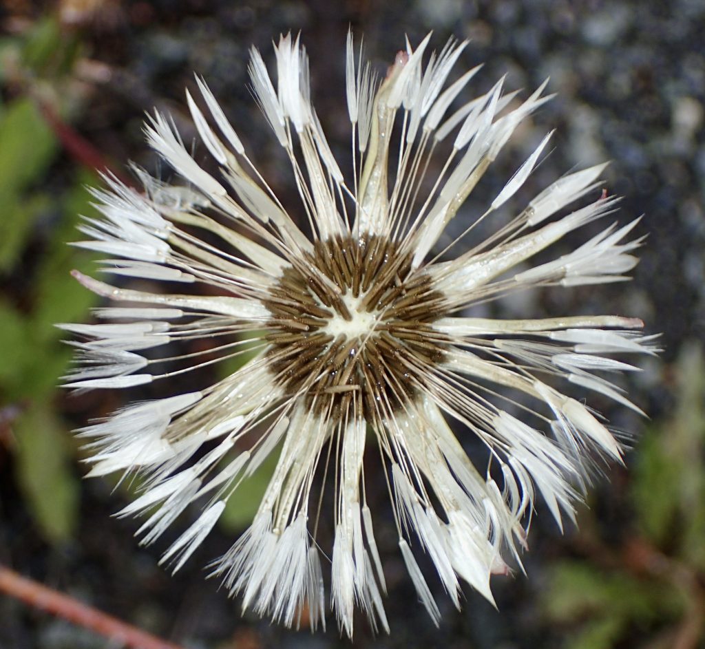
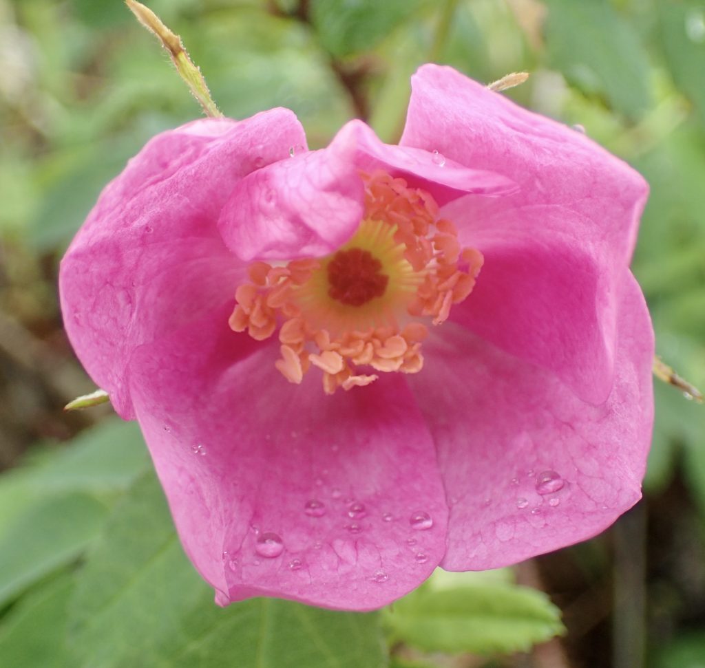
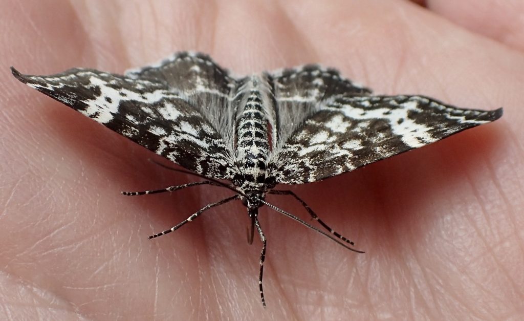
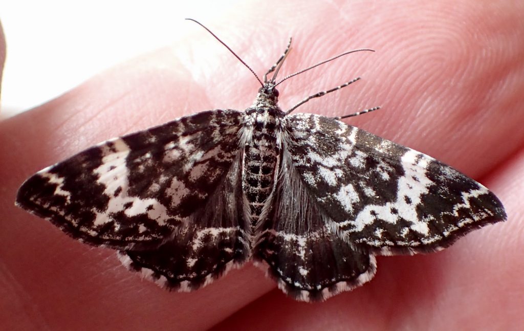
Next post will focus on Valdez and the Matanuska Glacier…Thanks for reading! Here are a few of Hank’s macro flowers and bugs from this part of the trip.

Your VT friends found the size comparison to the National Park pretty funny, but not surprising! How wonderful that you got an aerial view! Your posts continue to be so interesting with wonderful pictures! Continue to enjoy this marathon road trip!
Thanks for reading and sharing, Bernie. And we love Vermont too! So many beautiful places around the world.
Extraordinary. Such an incredible adventure. Nice to share it too!
Thanks, Diane! We agree that the scenery here is pretty extraordinary.
Another fabulous post… all of these segments are so fascinating. Having read this today, Marleen and I were feeling so adventurous that we drove a full 7 minutes down into Trabuco Canyon to our favorite Mexican restaurant…see what you guys started !!
Q
That’s hilarious! Wish we could have joined you.
Thank you for your beautiful photos and comments. Lovely State!
Mom (Sue)
Hi Cindy! Just finished reading the book “Tisha” ….. about the young teacher (Anne Hobbs .. 19 yrs old) who taught in Chicken! Was a great book! Thanks for motivating me to finally read it! My friend’s been recommending it for a long time?. Your trip photos & stories are wonderful!! Thanks for sharing it all! Safe travels home !