Our apologies for the delay with this post — we ran into some technical difficulties with our blog site, but we think we are back in business!
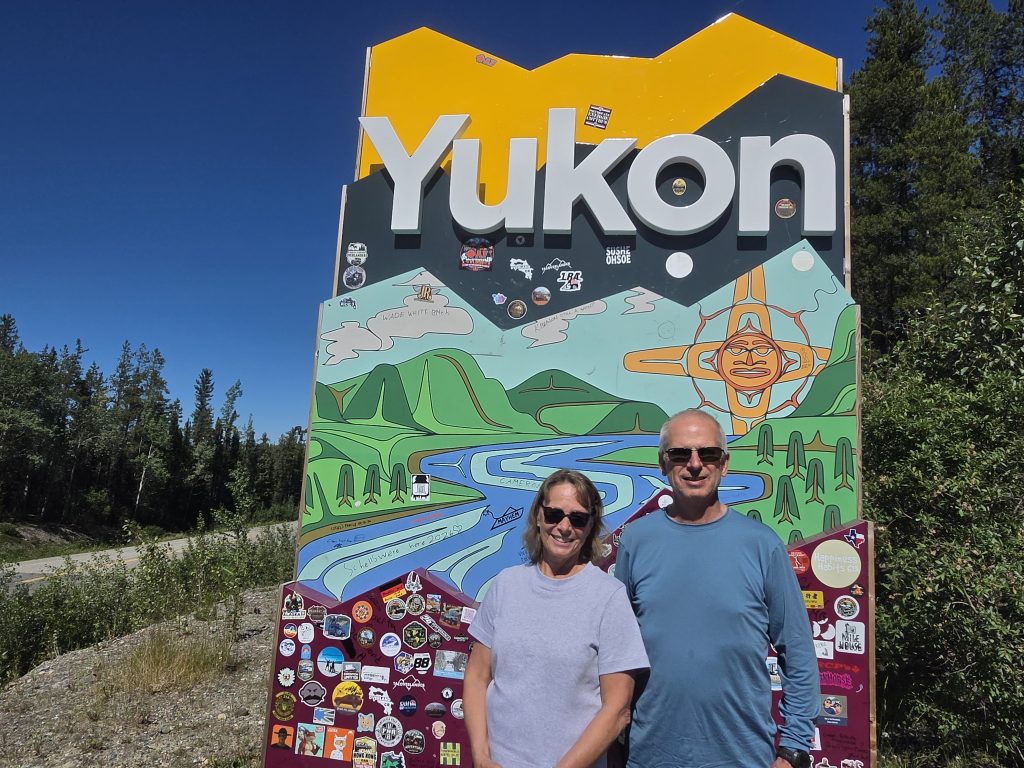
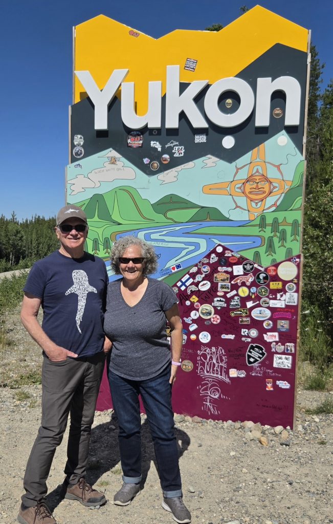
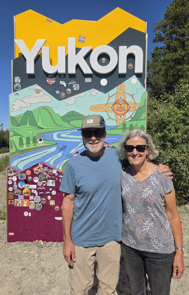
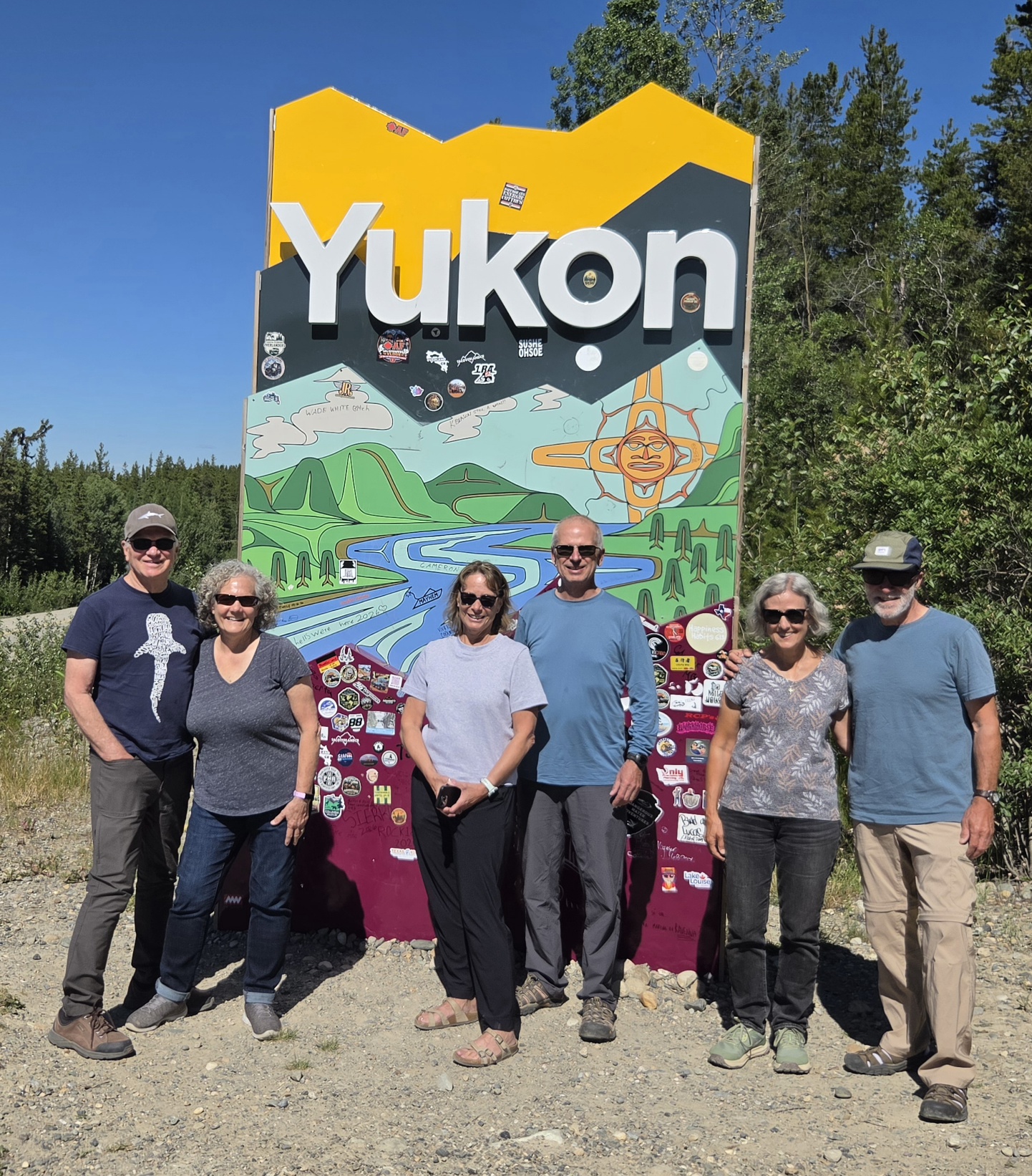
In our previous post, we visited Prince Rupert, BC, and then traveled up the remote Cassiar Highway. After leaving Northern British Columbia, our group of 6 entered the Yukon Territory and of course we had to pose for pictures. Howard has now been to every Canadian province and territory, so that in itself was a mini-celebration.
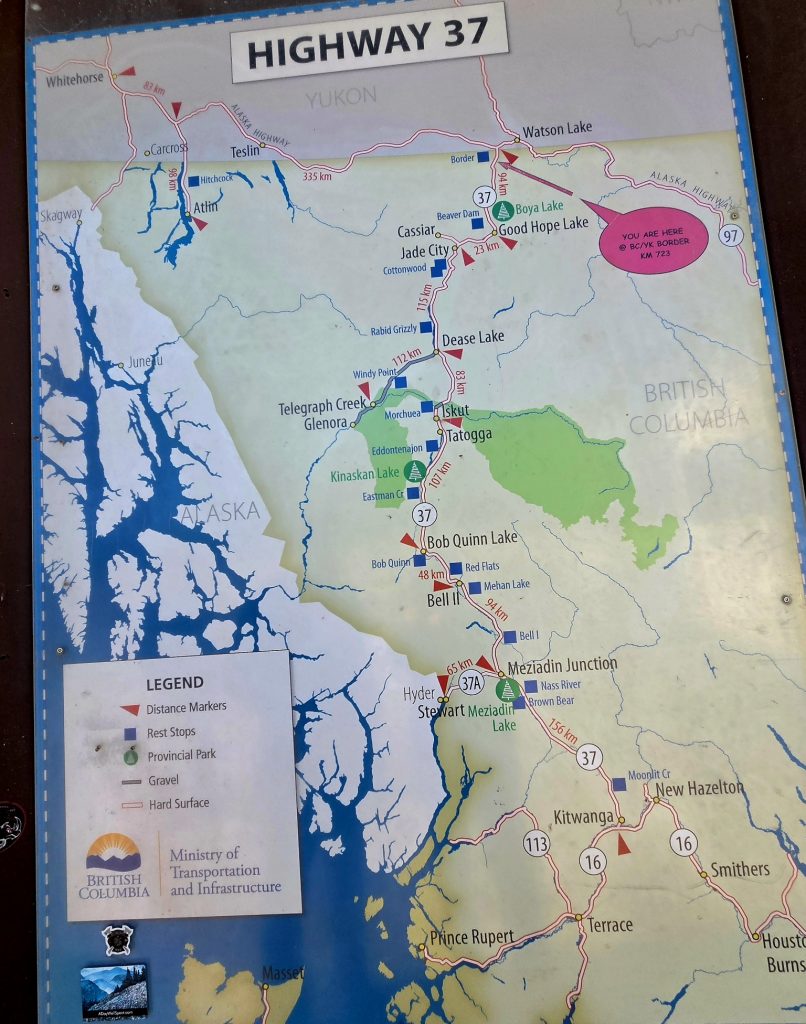
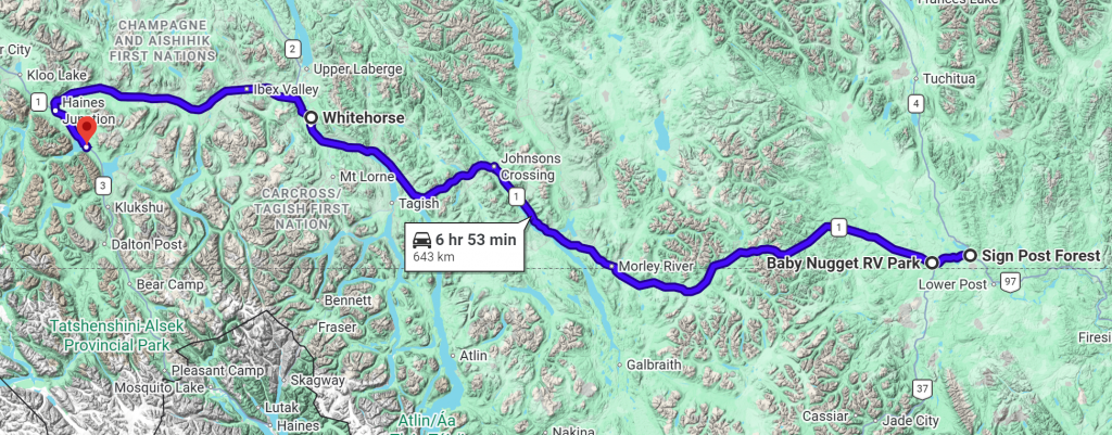
Our route to the Yukon along the Cassiar Highway
Howard and Jacky's first Yukon visit
Our second time in the Yukon!
John and Sharon's first Yukon visit
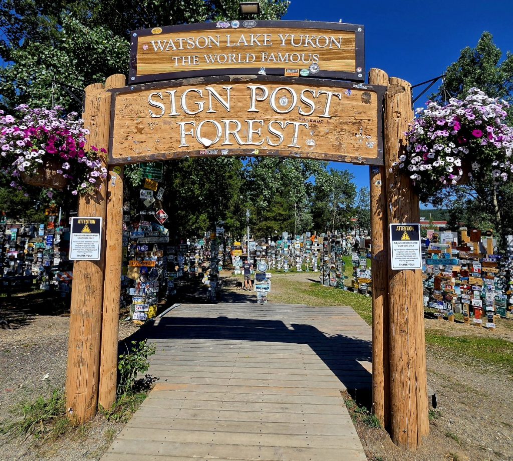
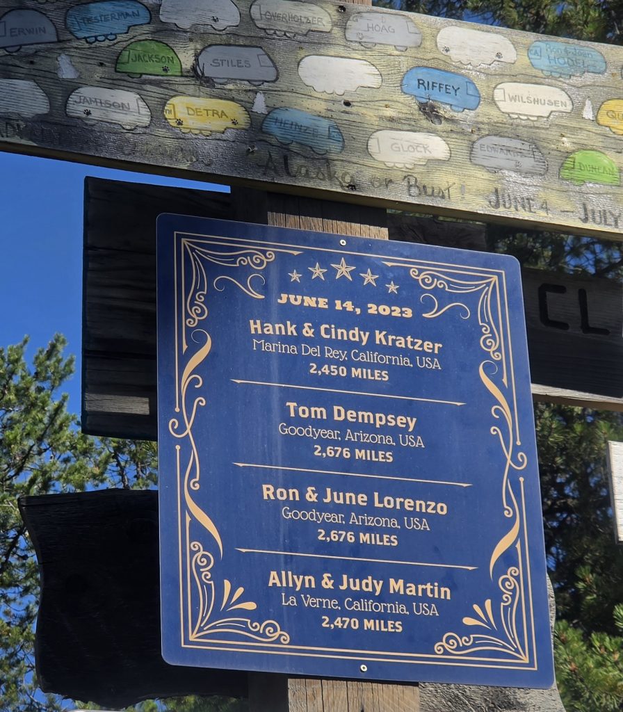
We left the Cassiar Highway and joined the Alaska Highway (midway through its route) near the town of Watson Lake, which is near the BC border and sits right on the Alaska Highway. Some of you might recall that when we traveled to Alaska 3 years ago, we put a custom-made sign in the Signpost Forest.
Our sign from 2023 is still up!
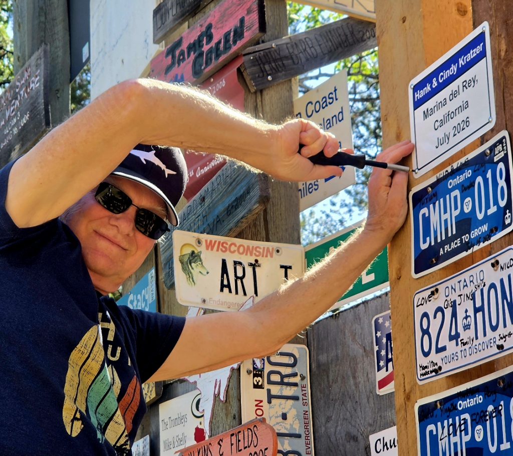
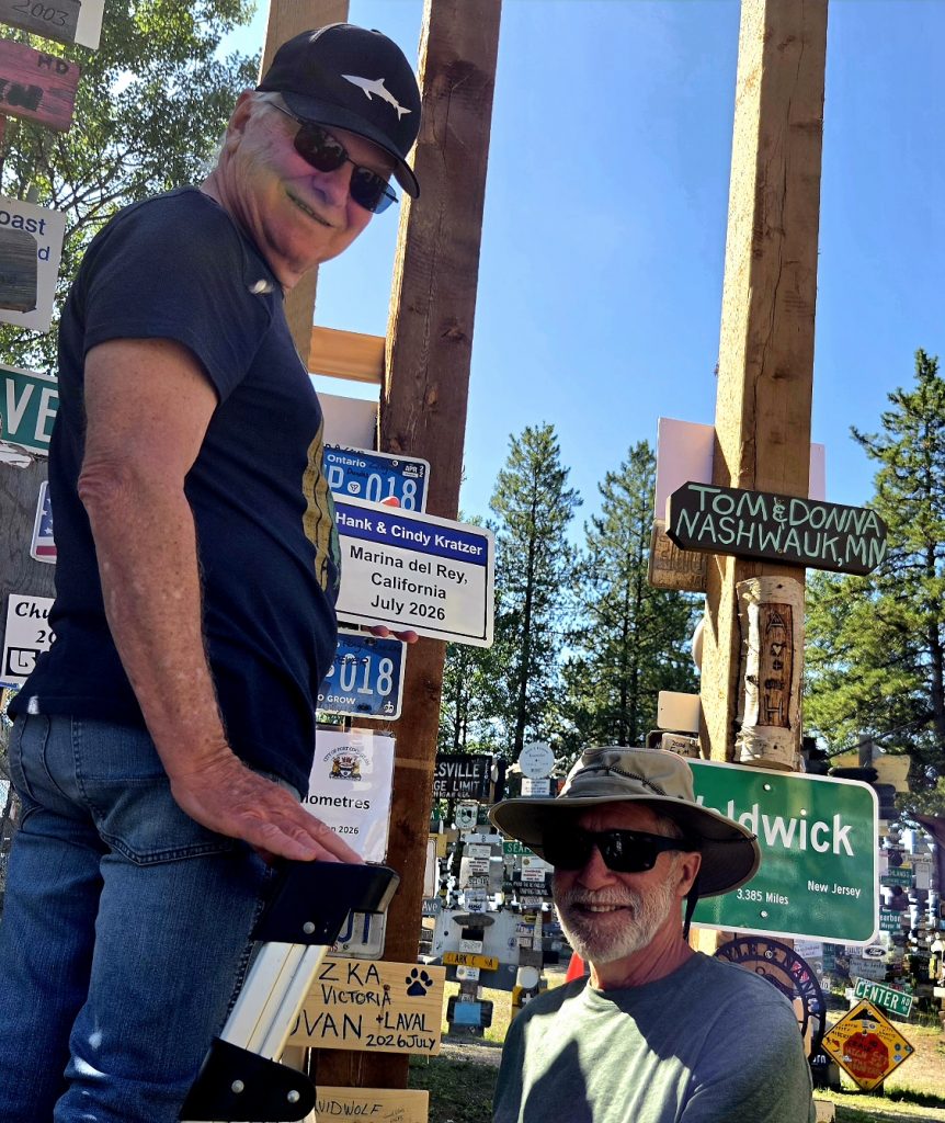
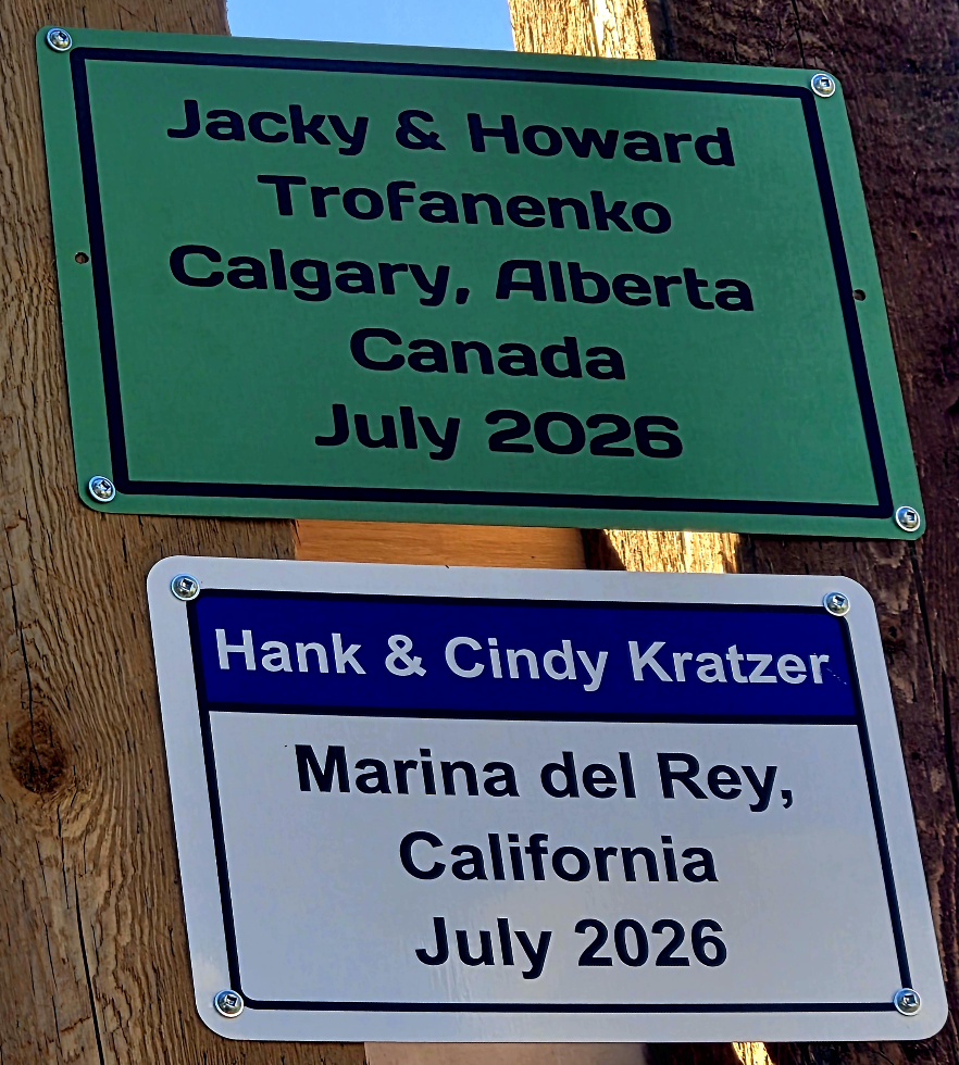
This year we added a new sign (and Howard and Jacky had one as well).
John assisting Hank with our sign.
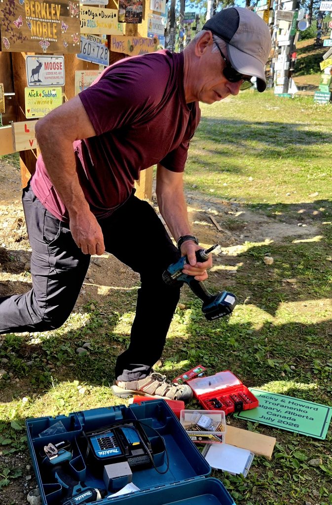
Howard at work on their sign
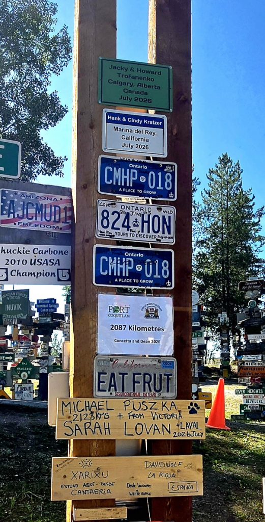
A sample of the signs with ours at the top of a new post
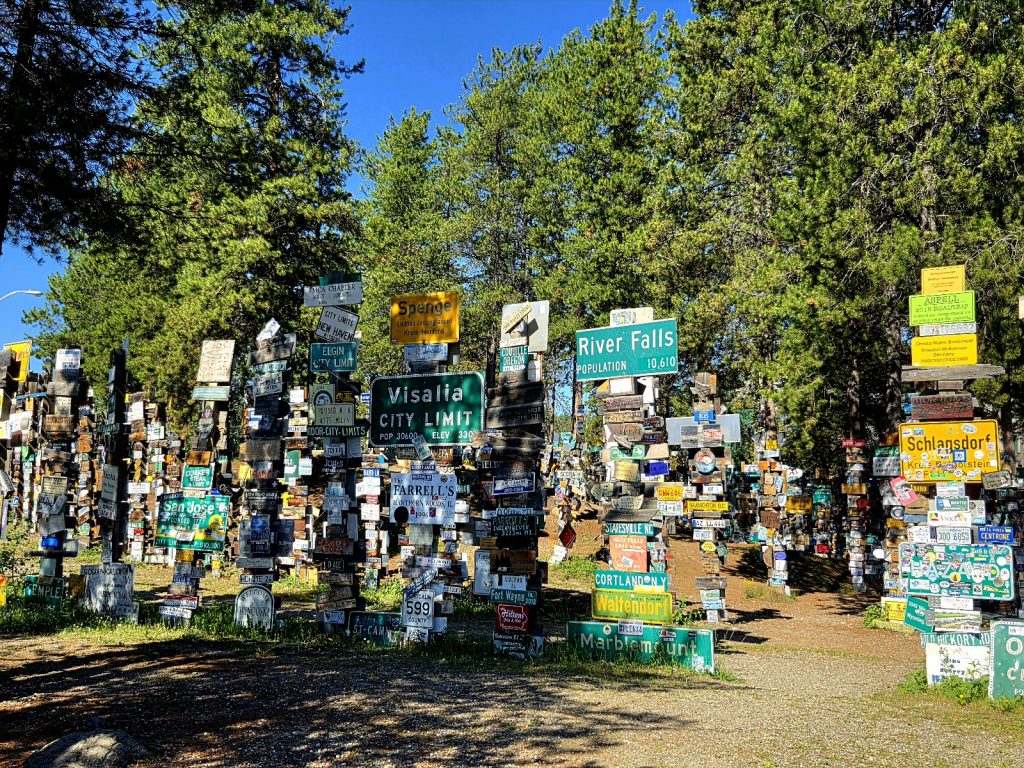
A small fraction of the signs in the Signpost Forest
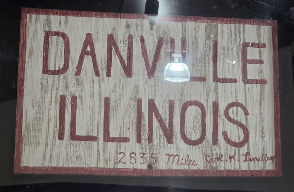
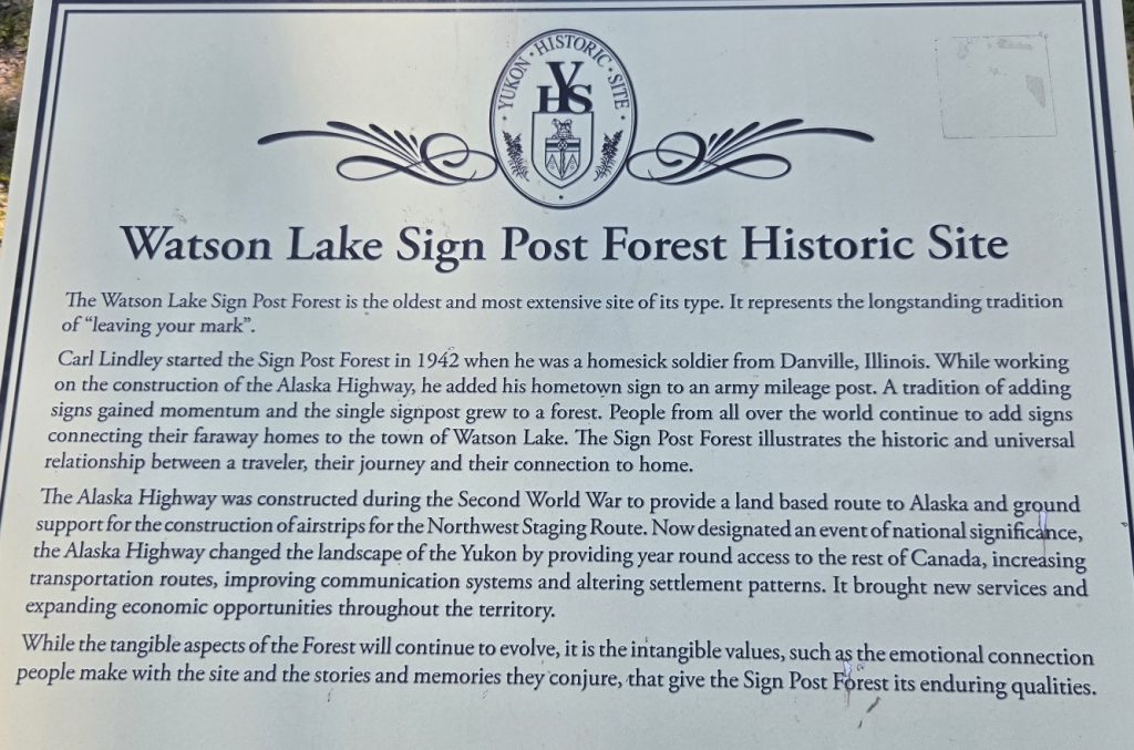
The Signpost Forest began during World War II when the Alaska Highway was being built. A homesick soldier, tasked with making road signs, made one sign indicating his hometown of Danville, Illinois. Other soldiers added their own signs and the tradition continued well after the highway was built. Today there are literally thousands of homemade, custom-made, and repurposed signs in the Signpost Forest, so we had fun exploring this small section of town.
The original sign before there was a Signpost Forest
The Alaska Highway took us next to Whitehorse, the capital of the Yukon Territory. We enjoyed a great dinner at Big Bear Eatery after a long day of driving.
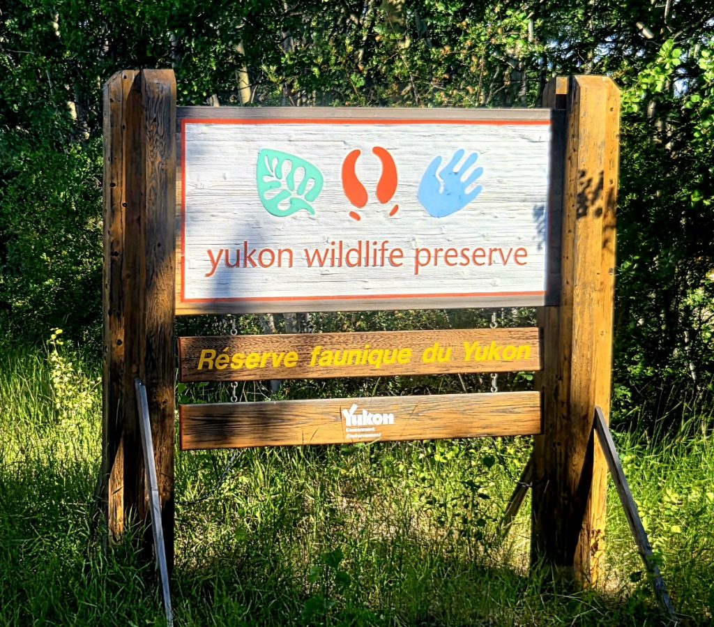
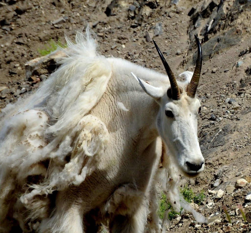
Next day we visited the Yukon Wildlife Preserve, which cares for animals that have been injured or cannot be released into the wild. We enjoyed walking about 4 miles through the preserve (though you can take a bus tour). Highlights included the caribou, mountain goats, and foxes.
Mountain goats were introduced into the Yukon in the 20th Century.
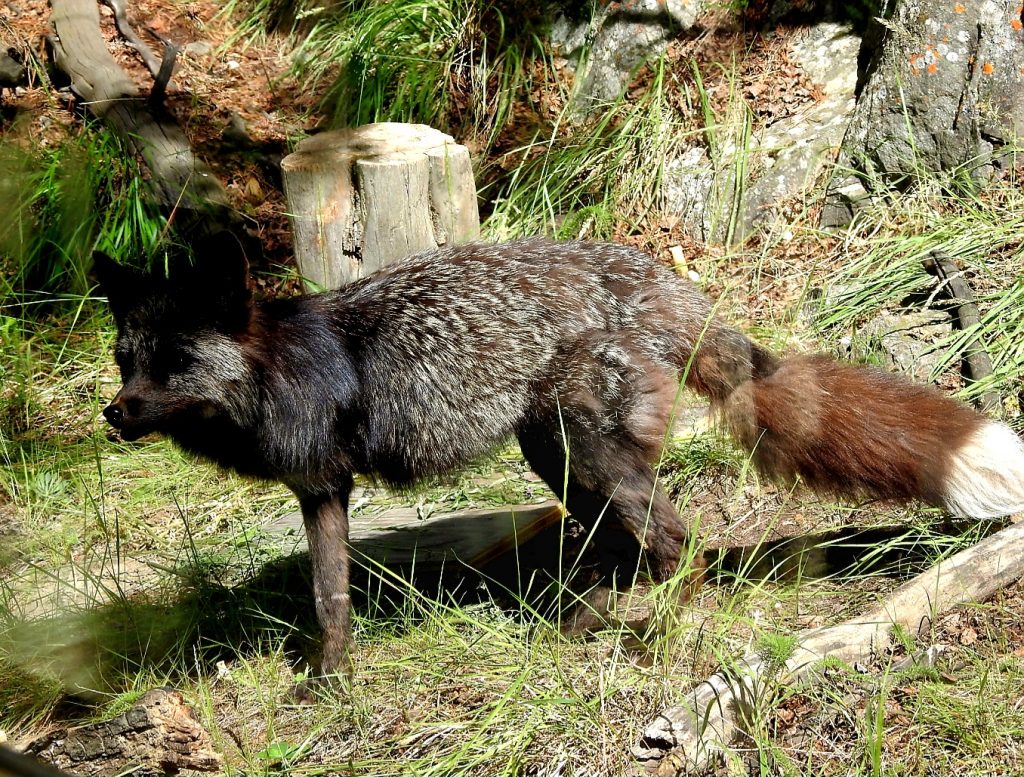
Red fox
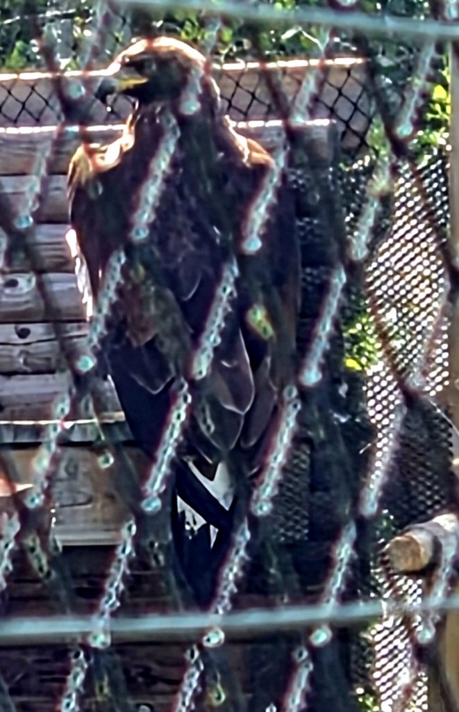
This golden eagle is too badly injured to be released back into the wild.
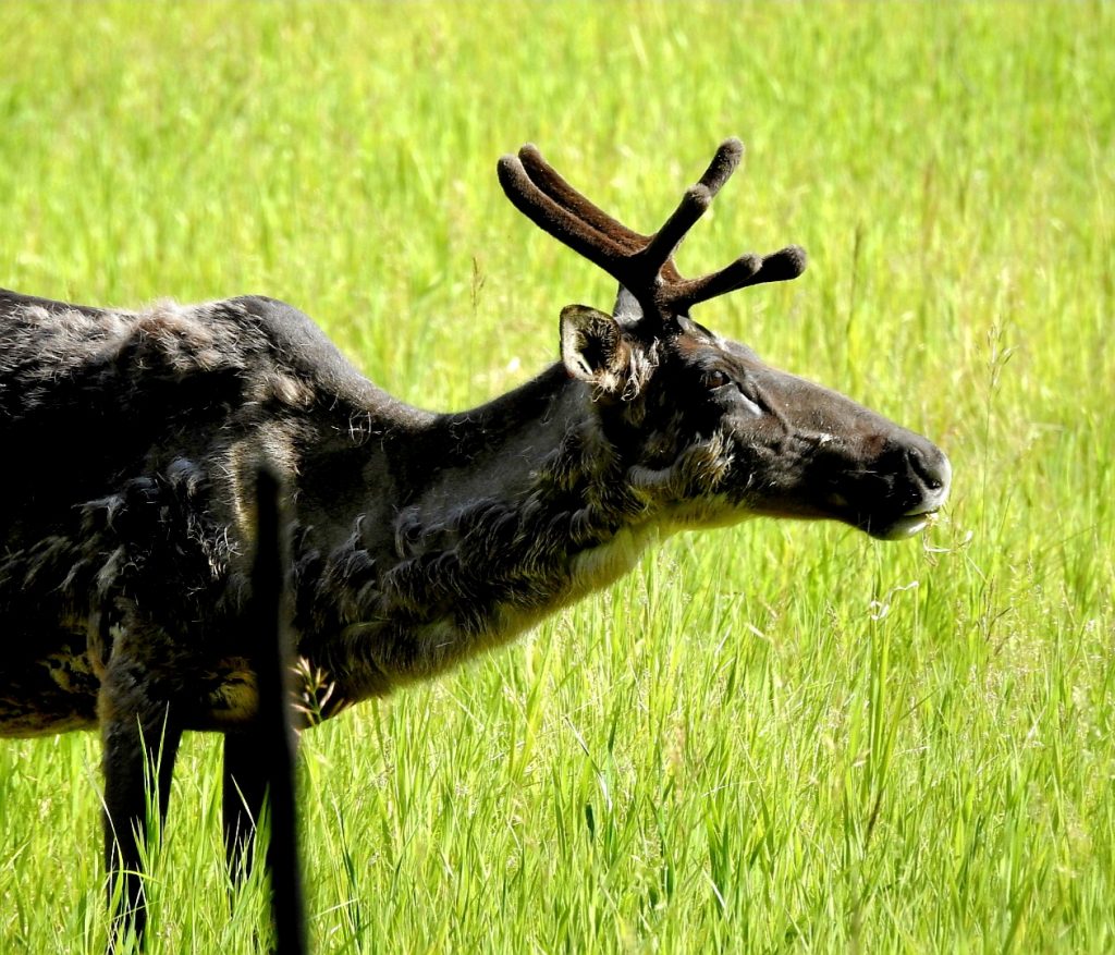
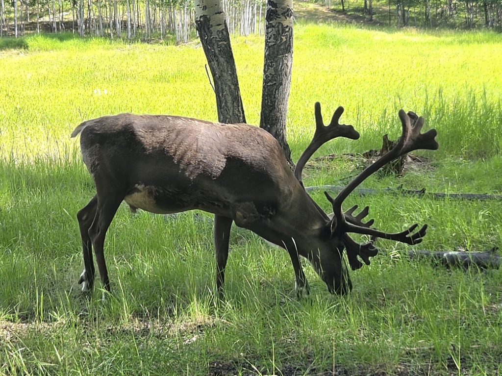
Caribou are the wild cousins of domesticated reindeer.
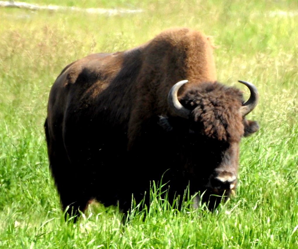
Wood bison are larger than the American bison found in the Great Plains states.
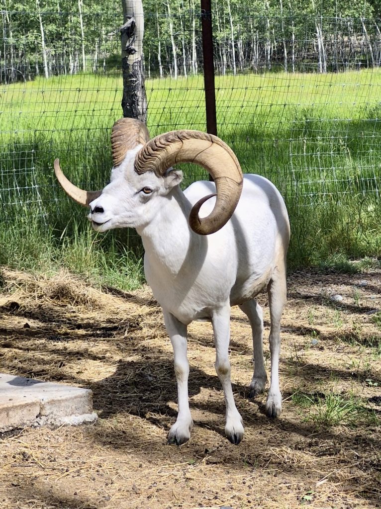
Dall sheep/thinhorn sheep (photo by Howard)
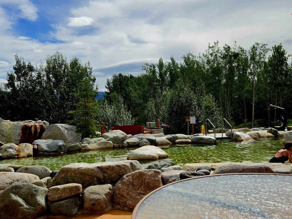
After all that walking, we relaxed at the Eclipse Hot Springs, with its hydrotherapy pools, steam rooms, and saunas. Most of us even attempted the cold plunge, with its shocking temperature (37-41 degrees Fahrenheit), immediately after being in the hot spring. We relaxed and walked out rejuvenated (very few pictures because they don’t allow cell phones in the facilities).
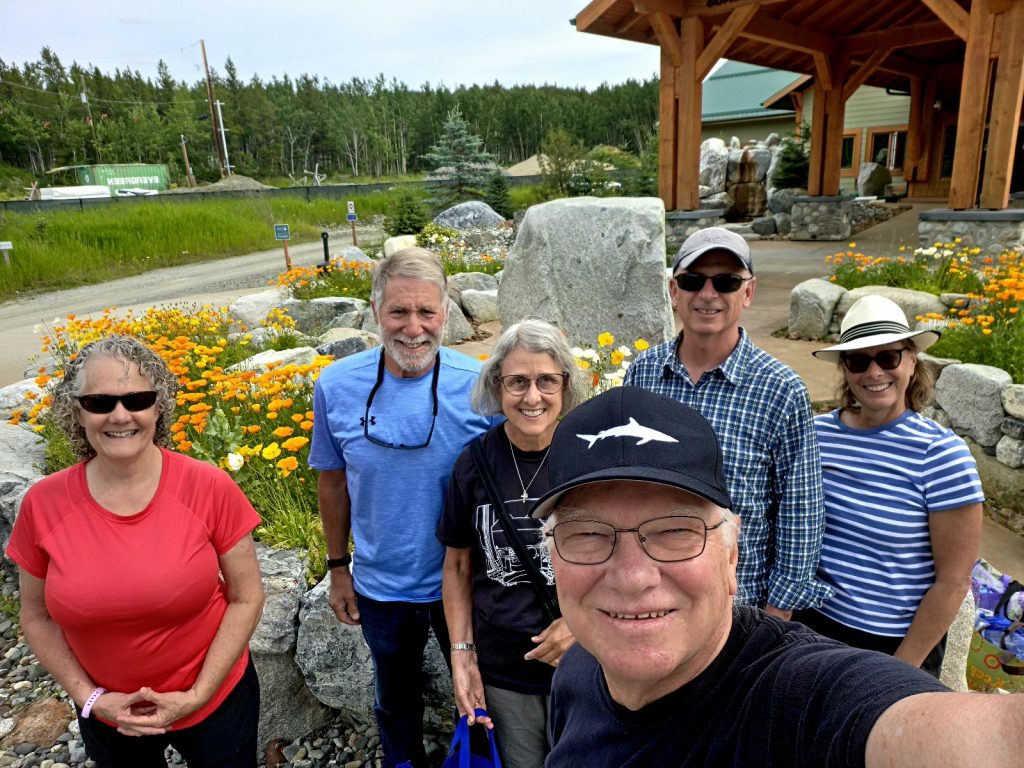
After our afternoon at the spa--do we look relaxed?
A partial view of the hot springs with the cold plunge in the background
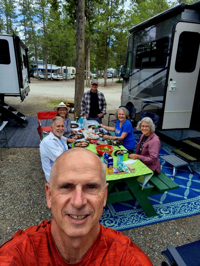
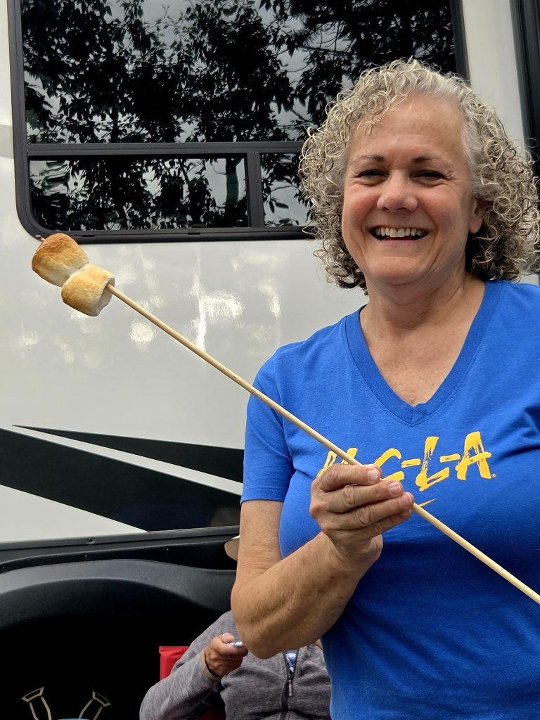
Dinner at the campground was followed by s’mores (we have to do that at least once per trip).
Photo by Howard
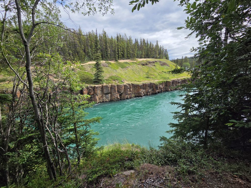
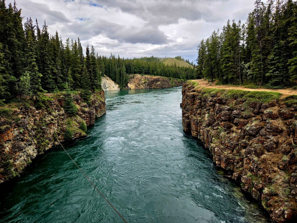
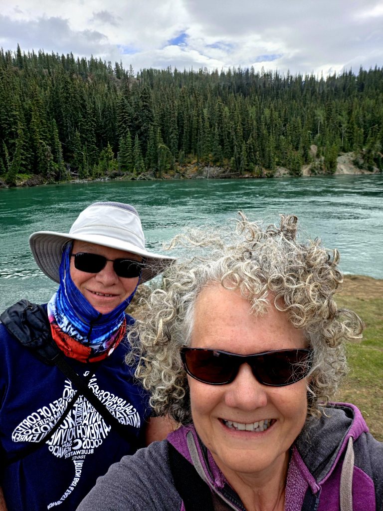
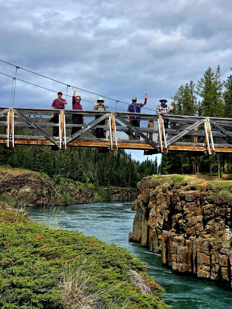
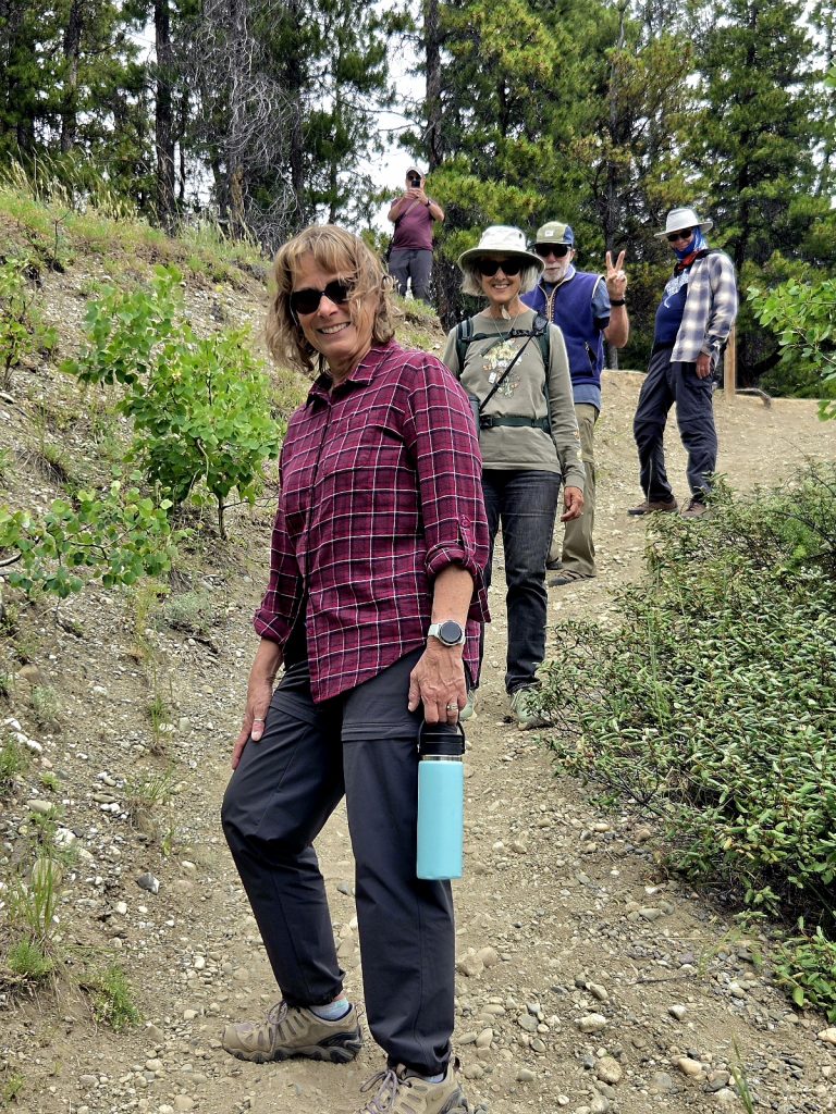
After a morning of errands and laundry, we ventured south of town to Miles Canyon, a beautiful stretch of the Yukon River made famous during the Klondike Gold Rush. Though tamer than it used to be because of dams, the river still demonstrated incredible power. We enjoyed a windy and scenic hike along the canyon rim.
The Yukon River is stunning as it traverses Miles Canyon!
The suspension bridge over the Yukon River
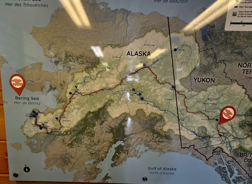
We tried to view the Whitehorse Rapids Fishway (aka the Fish Ladder), but no Chinook (king) salmon had yet come through. This is the longest wooden fish ladder in the world, helping the salmon bypass the Whitehorse Rapids Dam along the Yukon River. Whitehorse is the final stop for the longest freshwater salmon migration on the planet. Every summer, king salmon travel over 1,800 miles up the Yukon River from the Bering Sea to lay their eggs where they were hatched. We missed it on this trip, but if you’re in Whitehorse in August, definitely stop by this very cool (free) location.
A map showing the long migration of the king salmon
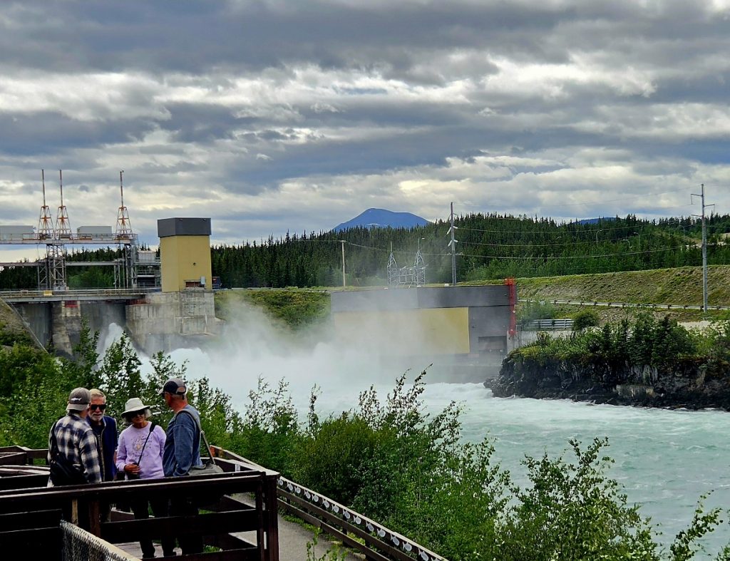
The Whitehorse Rapids Dam and Fishway
Our last evening with Sharon and John
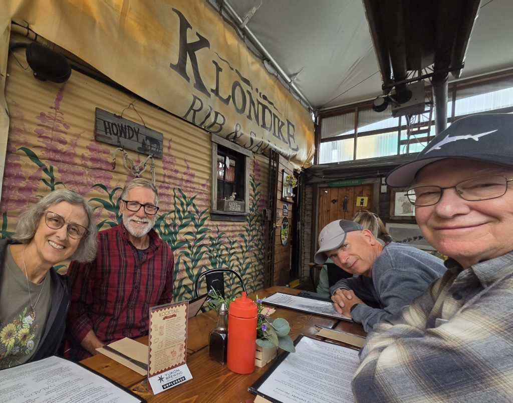
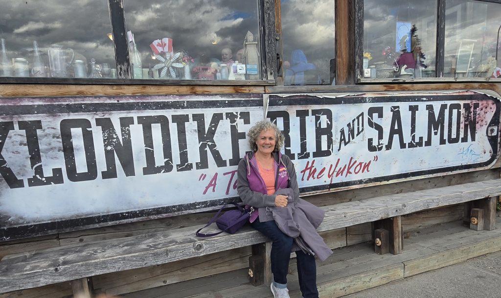
A famous local restaurant
Awakening to rain (pretty much our first of the trip), we took our time heading out. John and Sharon began to travel back down the Alaska Highway, starting their journey home. The other four of us continued heading west, past the rain, and into Kluane National Park, which borders Wrangell-St. Elias National Park in Alaska and contains Mt. Logan, Canada’s tallest peak.
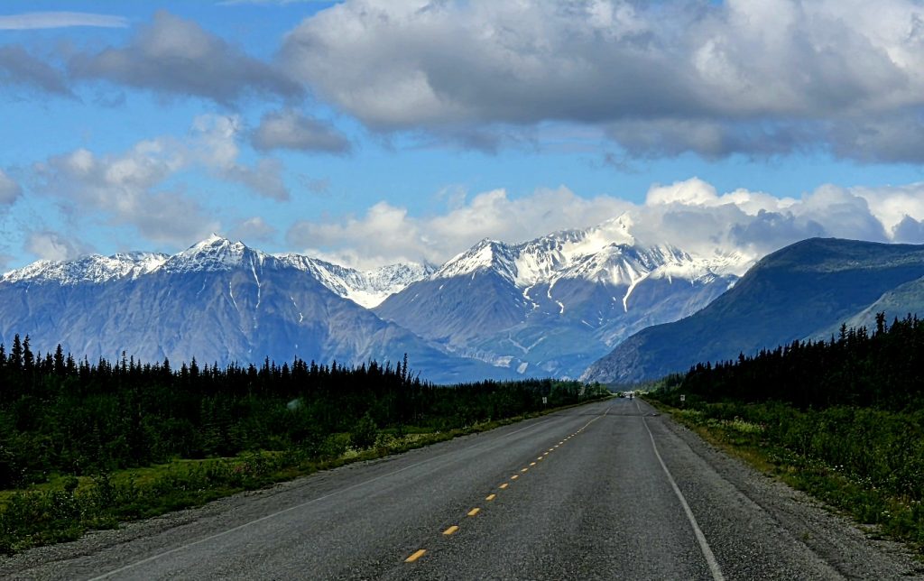
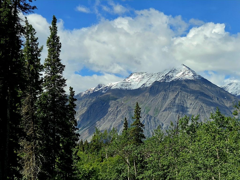
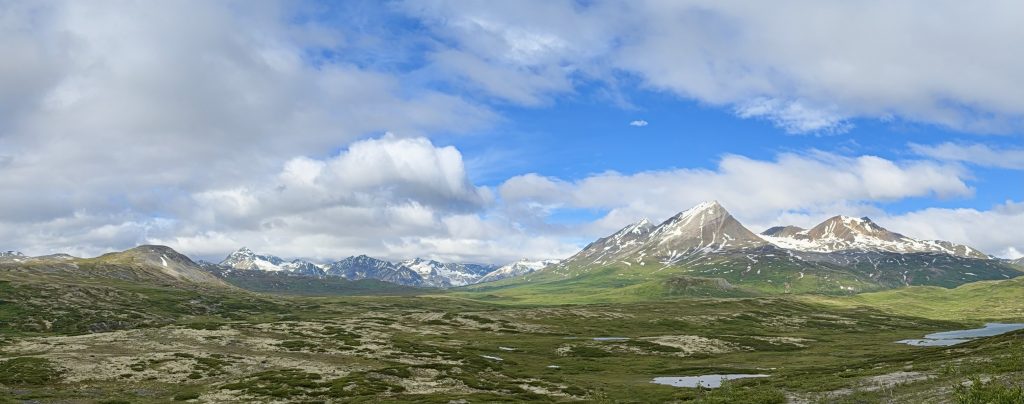
One of many gorgeous views in Kluane National Park
We left the Alaska Highway to head south on the Haines Highway, stopping for the night at the Kathleen Lake Campground, the only developed campground in Kluane National Park.
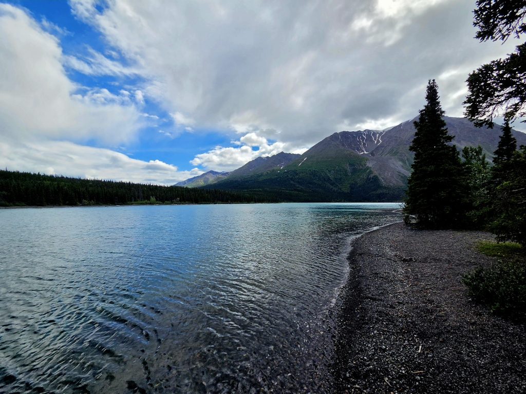
Kathleen Lake, another gorgeous lake on our trip
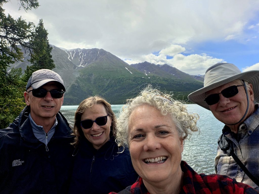
While the sprinkles continued off and on, we were still able to enjoy a beautiful walk from the campground to the lake, surrounded by stunning mountains all around.
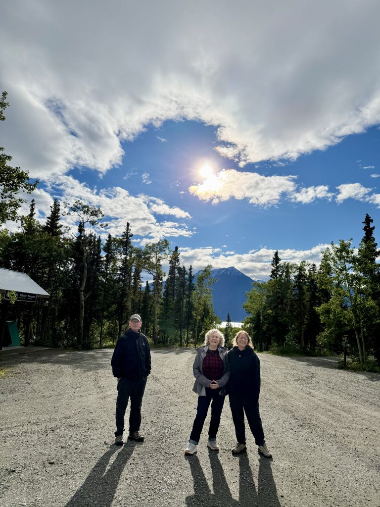
This leg of our trip took us west into the southeast corner of the Yukon Territory.
We didn’t see grizzly bears during our time in the Yukon Territory, but it was still a wonderful journey to this area far from home. (Next post will take us back to Alaska in search of more grizzly bears!)
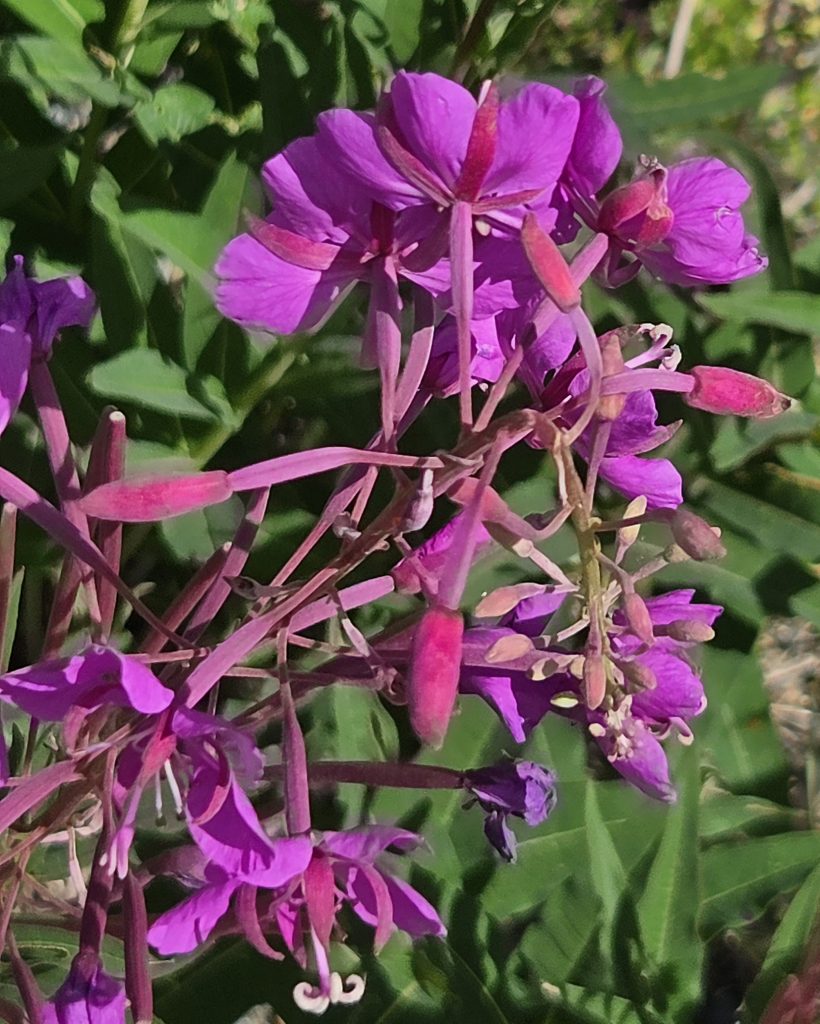
We saw fireweed everywhere on our journey up north!
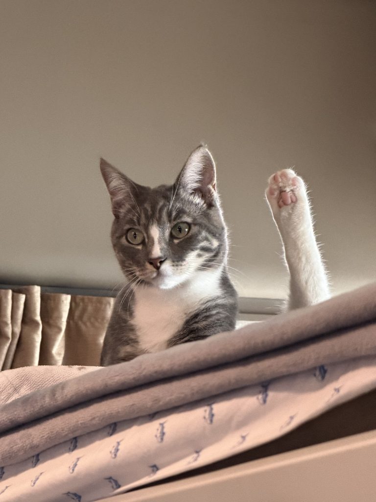
Luna relaxing on her loft bed in the RV (while in Whitehorse, YT).
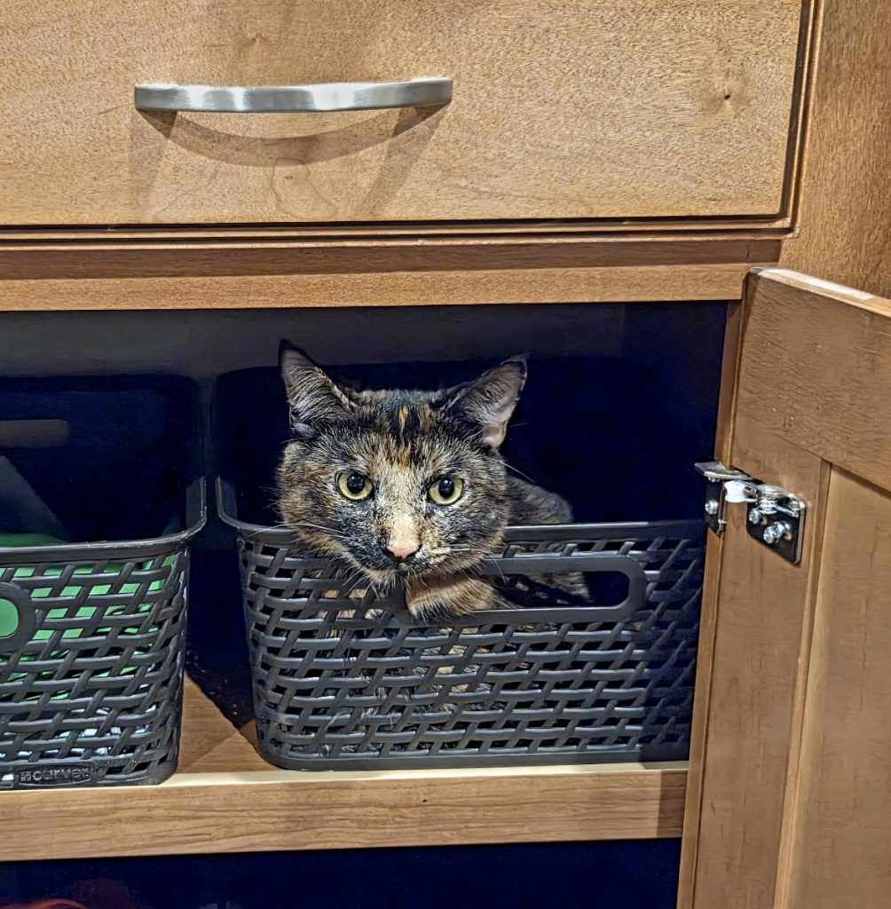
Tierra hiding in one of our laundry baskets while camped in Whitehorse.
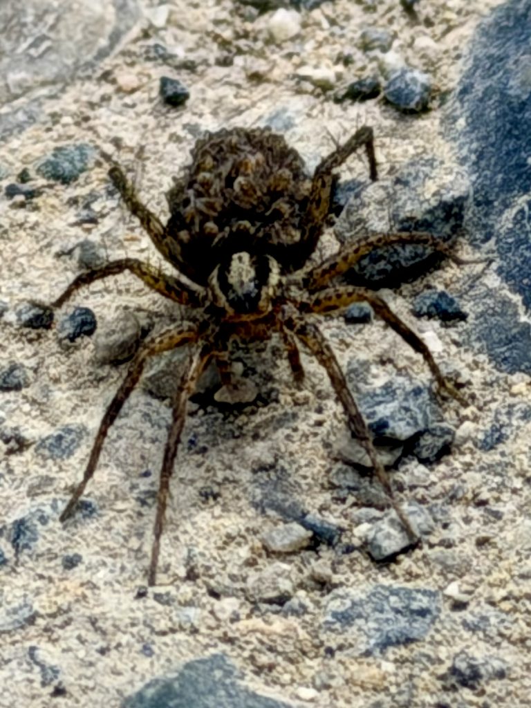
A wolf spider relaxing at the Yukon Wildlife Preserve near Whitehorse.
Haines Highway with a view of Kluane National Park (heading to Haines, Alaska--next post)
1 thought on “Sightseeing in Southwest Yukon Territory-2026”

Always fun to see where you’ve been!
Kim